We traveled to Oregon (with side trips to Washington and California) to enjoy time outdoors. We chose to travel in June because it’s typically drier but not too hot and because the roads around Crater Lake can be closed due to snow, even into late spring.
Day 1 – Travel
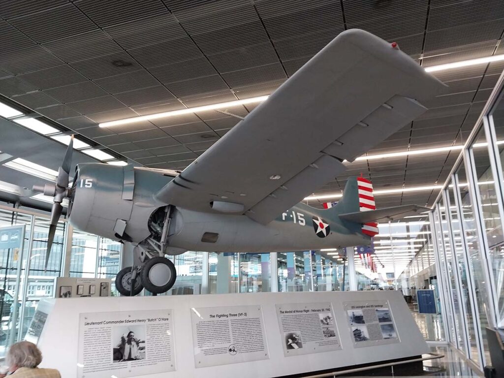
When we booked the trip, we had a three hour layover in O’Hare, but our flight was rescheduled to arrive two hours earlier. Fortunately, O’Hare is a good airport to spend time, and the Butch O’Hare exhibit was one of the reasons I chose O’Hare over Dallas. We had breakfast and walked around the airport before our flight to Portland boarded.
We arrived in Portland in time for dinner and an early night to rest up for the next day.
Day 2 – Columbia Gorge
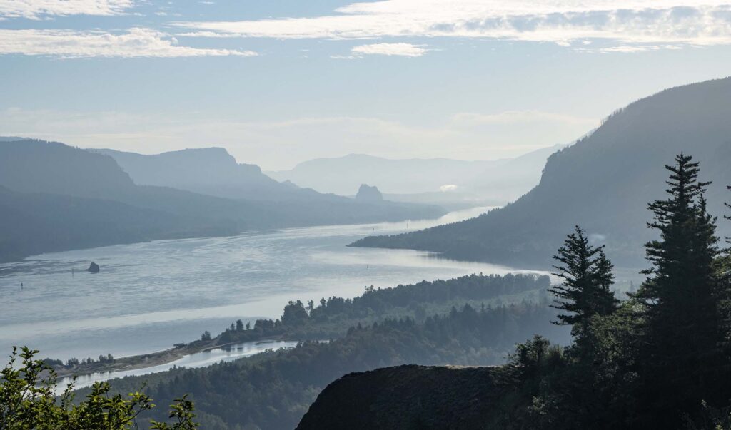
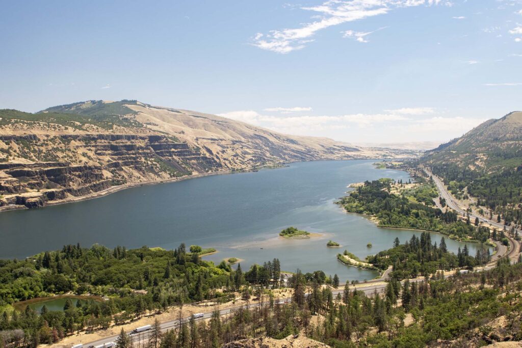
We spent the day driving the Columbia River Gorge on the Oregon side to The Dalles, then returned on the Washington side.
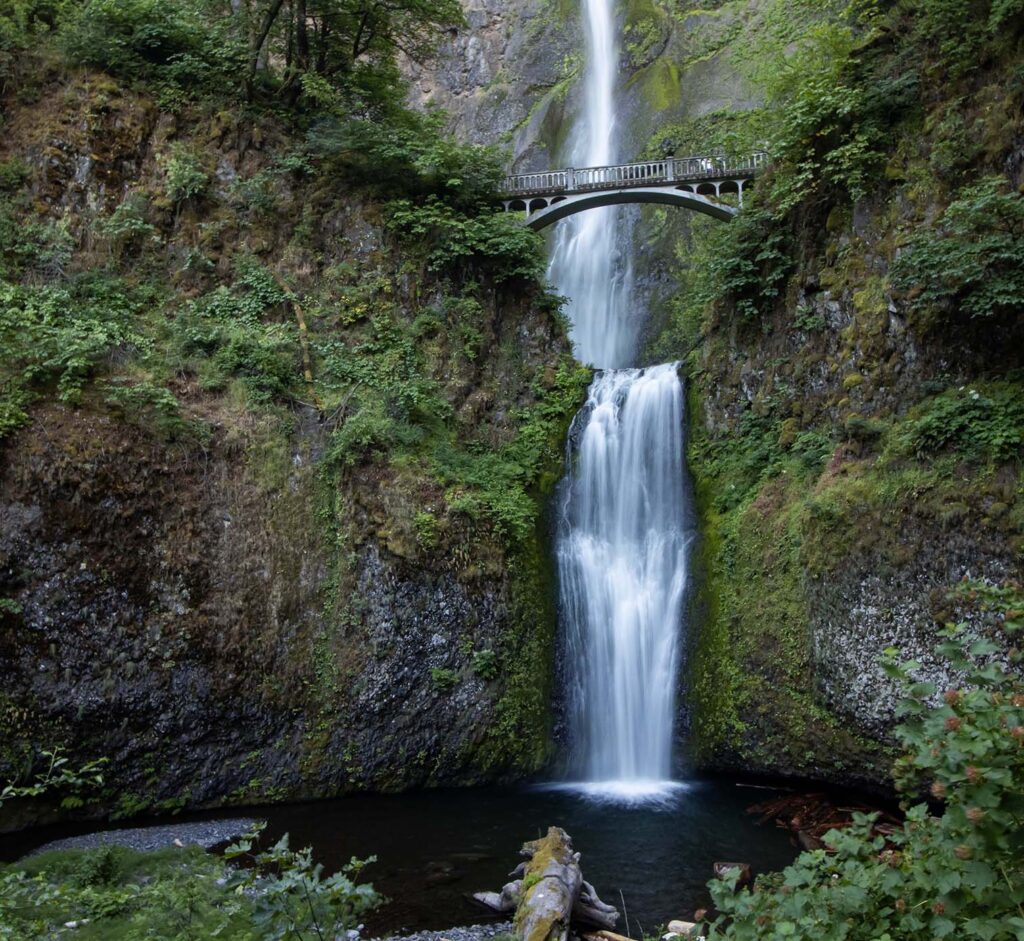
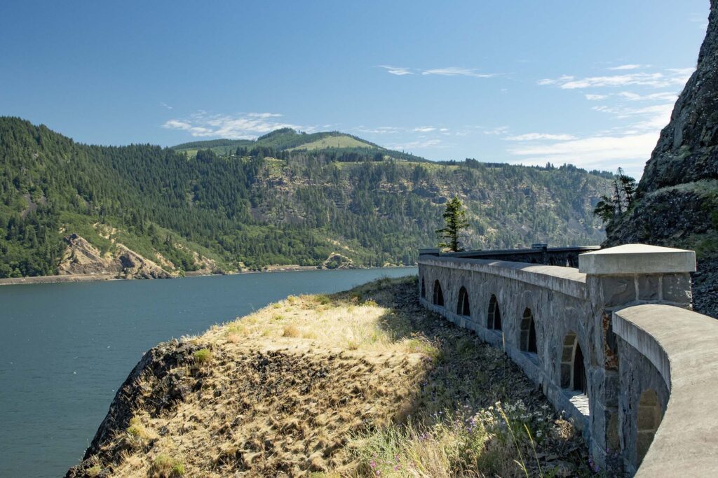
We had a 9am timed-entry permit for Multnomah Falls but arrived early and at the wrong lot, so we paid another fee but enjoyed the falls before the crowds arrived. (If you arrive early, you don’t need a permit. As for the lot, we used the coordinates on the USFS website, which directed us to an area just off the road, a quarter mile west of the private lot in front of the falls. So, if you’re planning to visit, make sure you check your map.) We hiked the trail to the top of the falls, enjoying views of the gorge along the way.
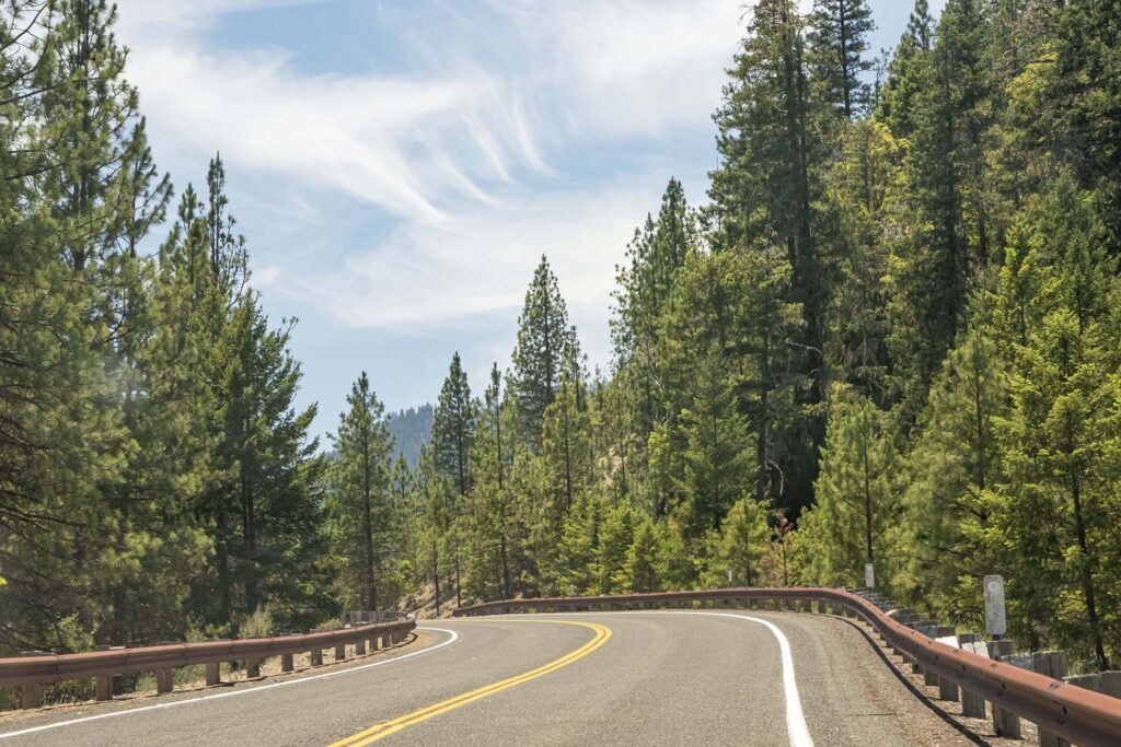
As we continued to drive along the Gorge, the topography and vegetation changed as the climate became drier and hotter, with less of the Pacific influence.
We looped back to Portland along the Gorge in Washington.
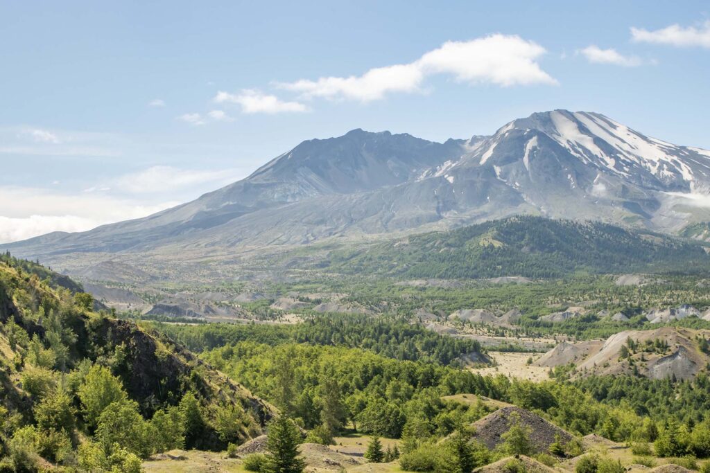
Day 3 – Mount St. Helens
When we realized that Mount St. Helens is only about two hours from Portland, we decided to add it to our itinerary. My grandmother lived in Spokane when the volcano erupted in 1980 and sent some of the ash that fell there, so I’ve always been interested in the mountain.
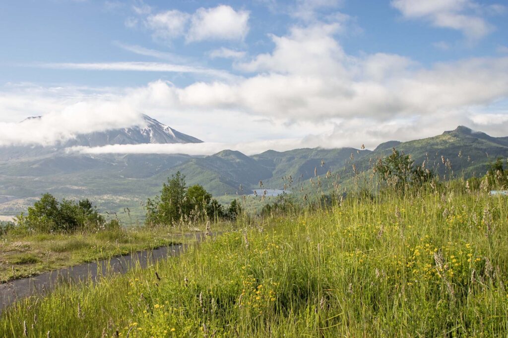
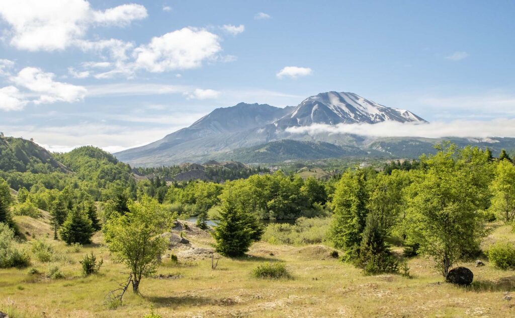
It was cloudy when we set out, but the clouds cleared as we neared the volcano.
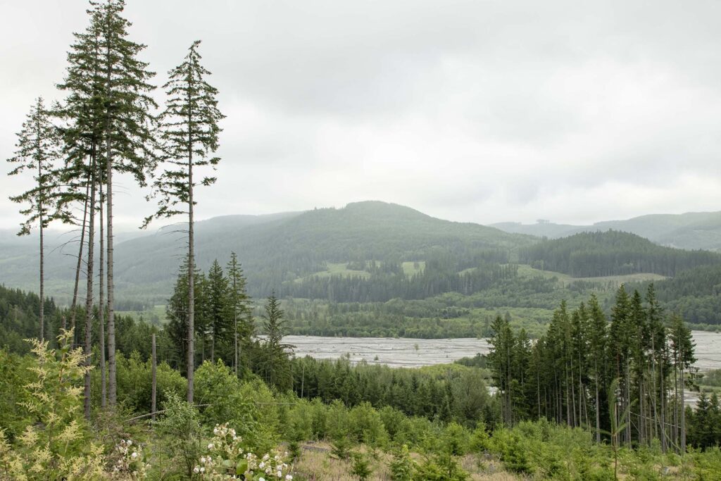
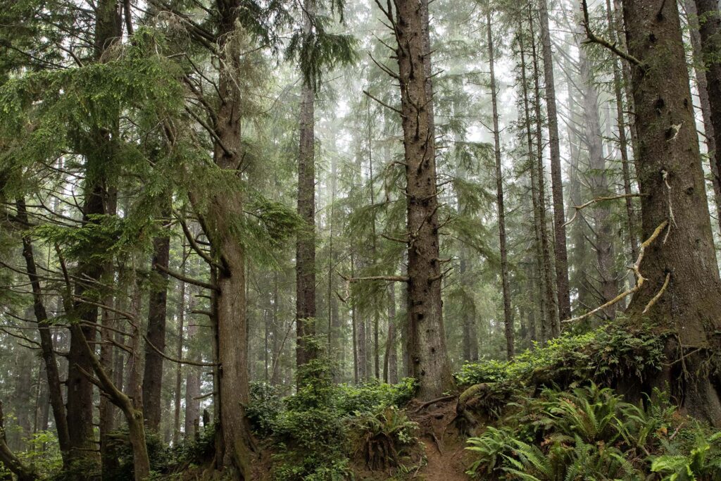
We hiked the Hummocks trail and some of the trail to Johnston Ridge Observatory. The Hummocks trailhead is the closest accessible point from the northern entrance. The road to Johnston Ridge Observatory is closed due to a landslide.
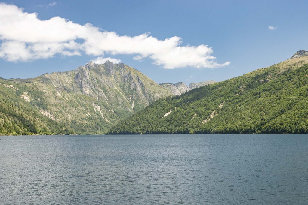
After our hike, we walked to Coldwater Lake, which was created during the 1980 eruption.
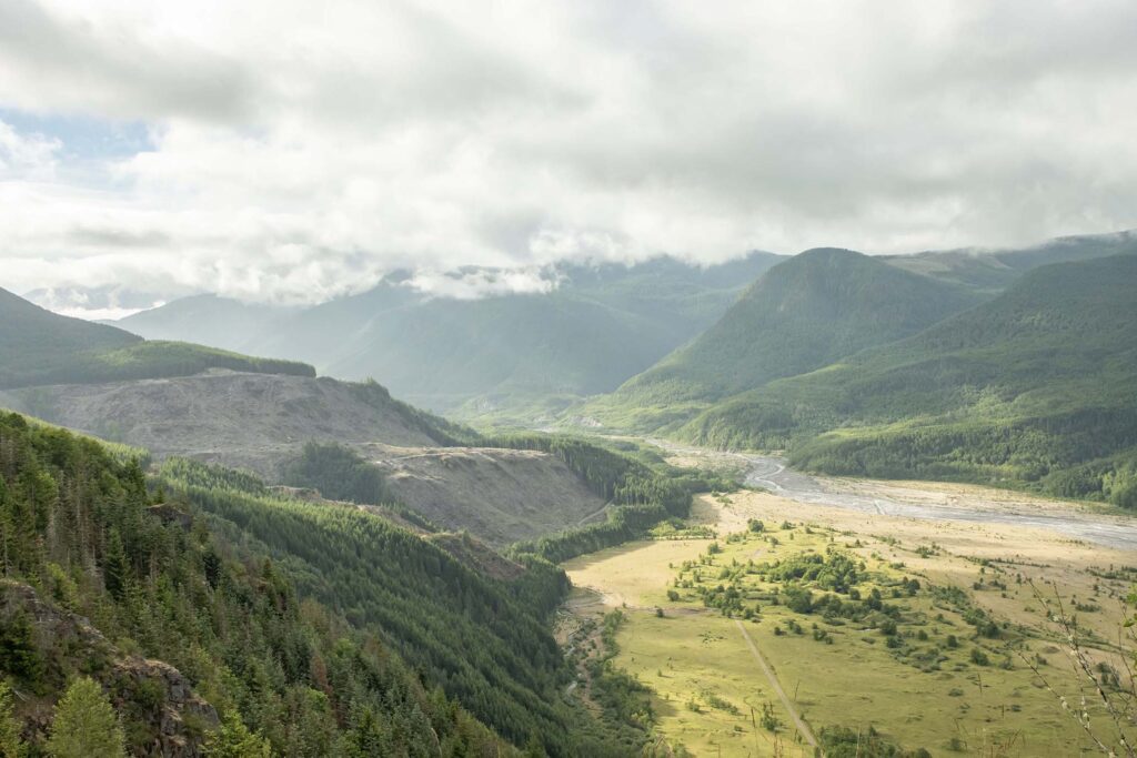
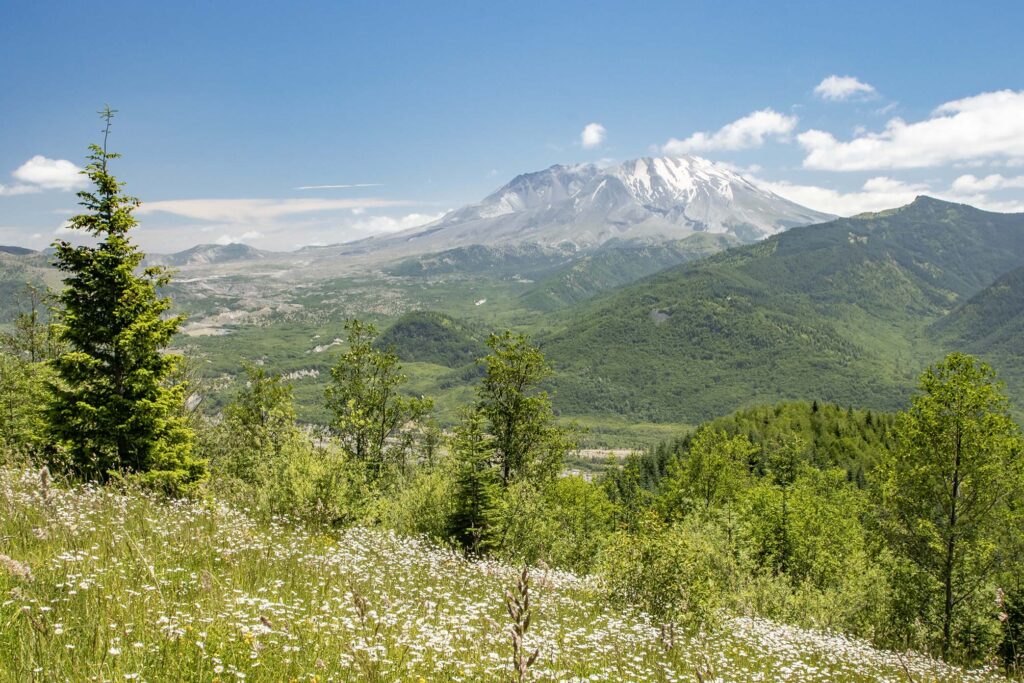
We stopped again at one of the overlooks on our way out of the park.
Day 3 – Oregon Coast
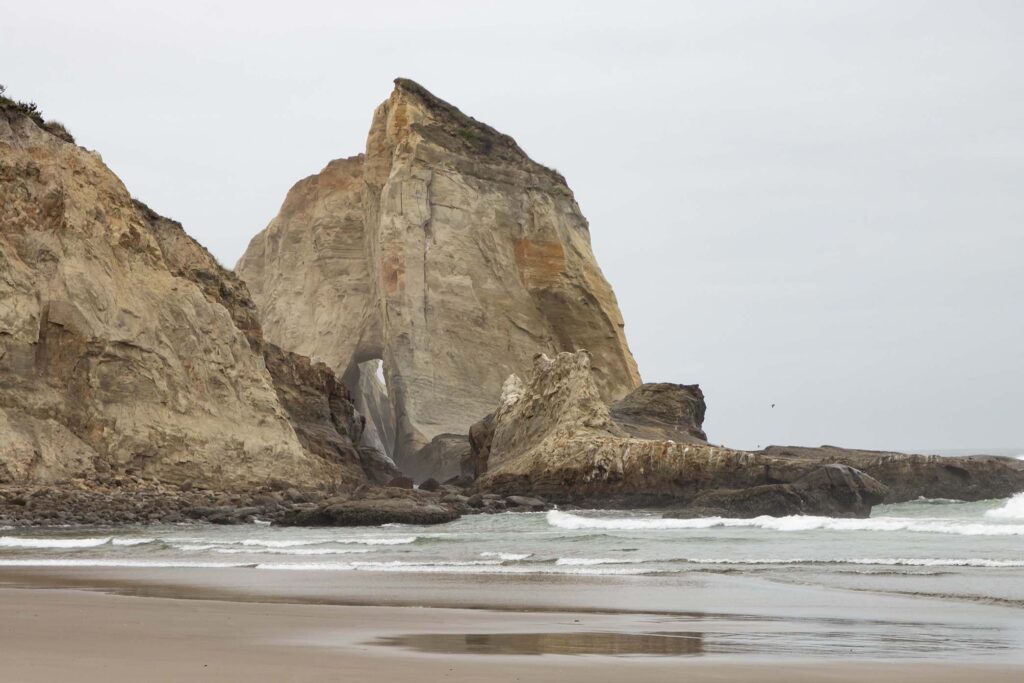
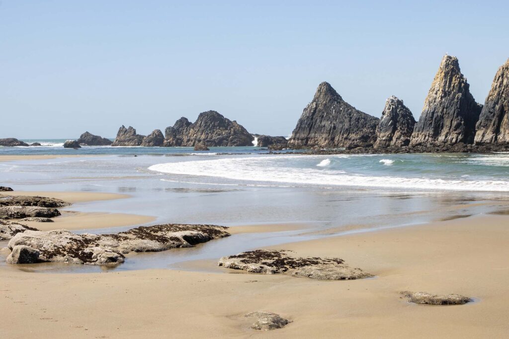
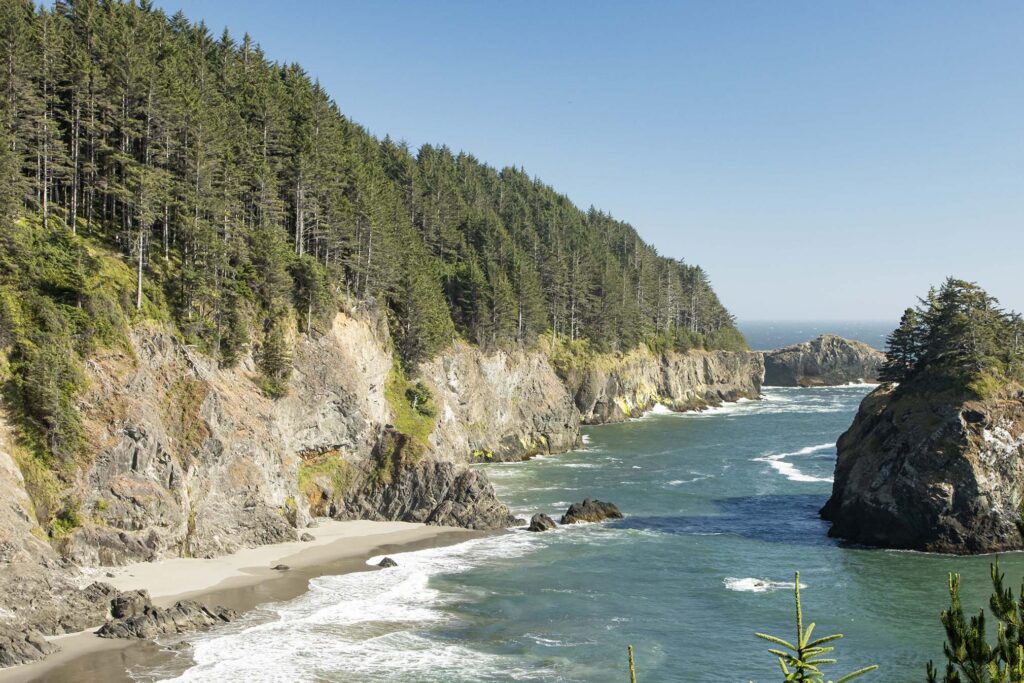
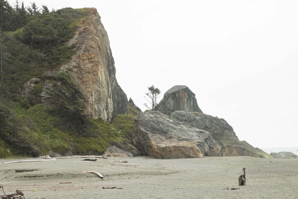
We took the entire day to drive the coast from near Tillamook and into California, making many stops along the way. Our first stop was Cape Kiwanda, where we saw the sea stacks, rock formations created by wave erosion.
We saw more sea stacks at Seal Rock where we walked along the beach as the clouds cleared.
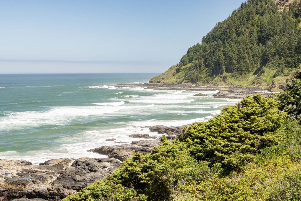
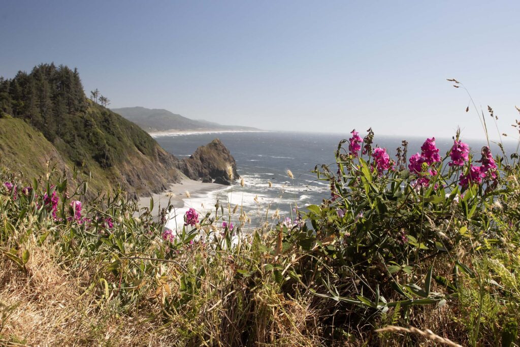
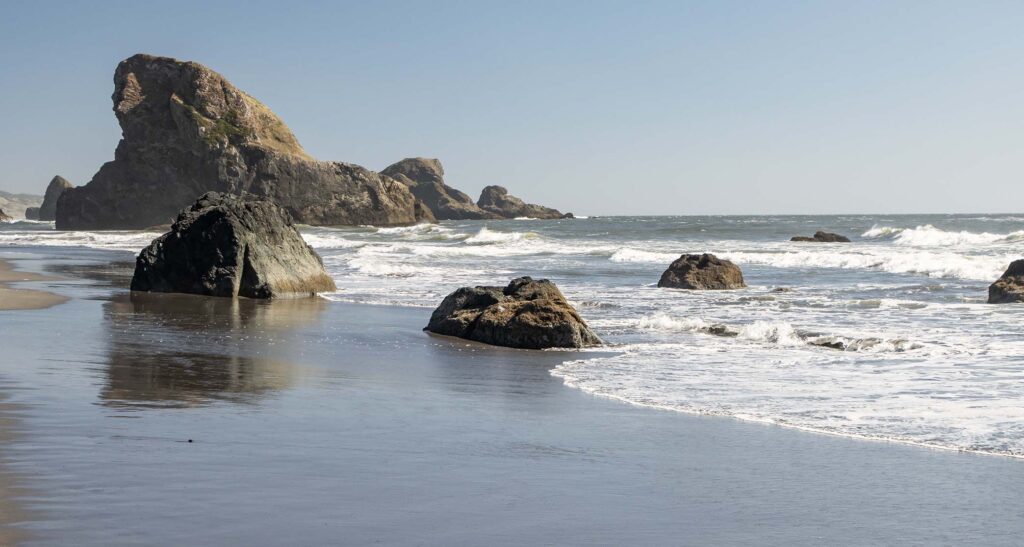
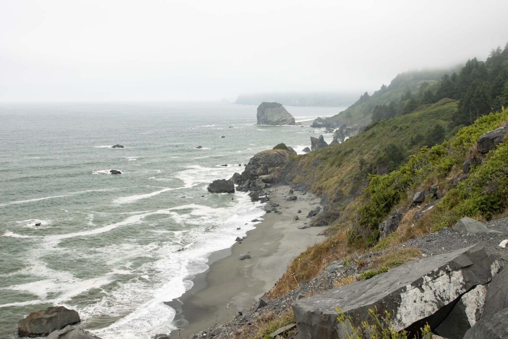
We stopped at several other beaches and overlooks along the coast.
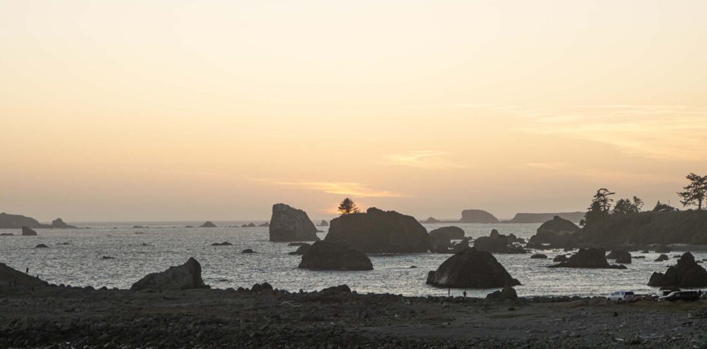
We watched sunset at Crescent City, California.
Day 5 – Redwood National and State Parks
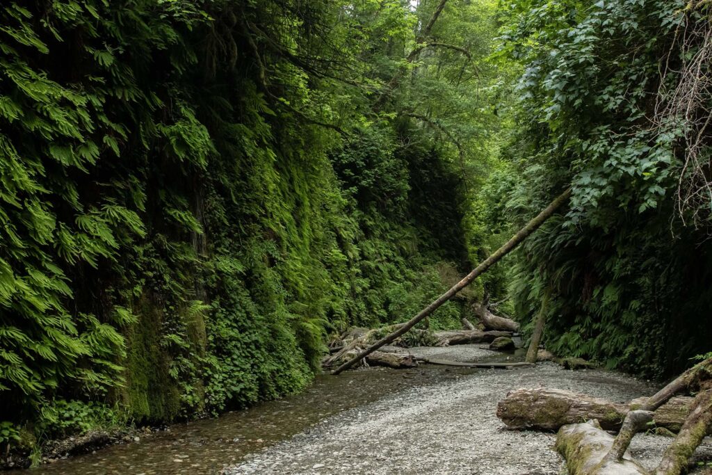
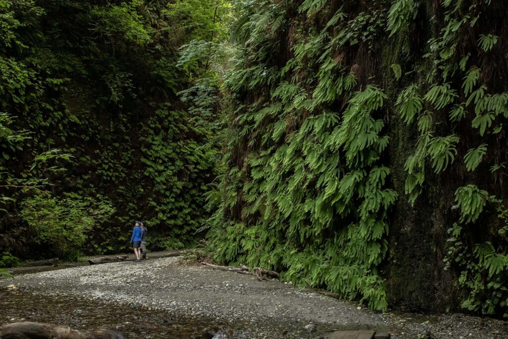
Redwood is actually a set of national and state parks in northern California. We secured a park pass to Fern Canyon and Gold Bluffs Beach, so that was our first stop of the day. Fern canyon is unlike anything we’d ever seen. It’s not a hike but a walk along a creek through a gorge that is literally covered in ferns.
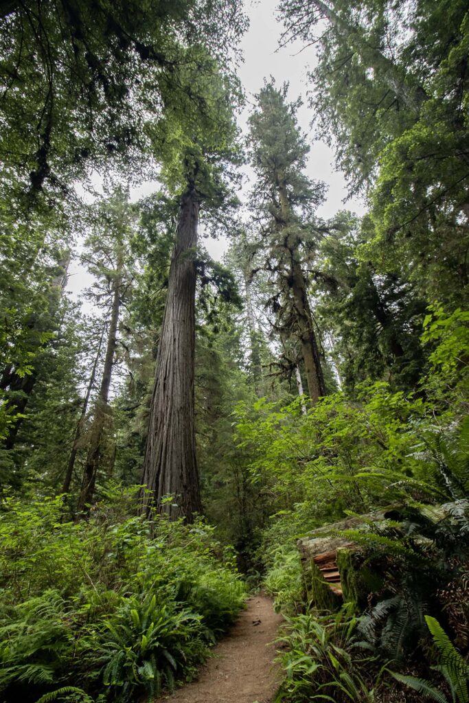
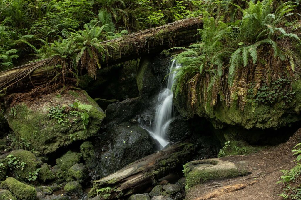
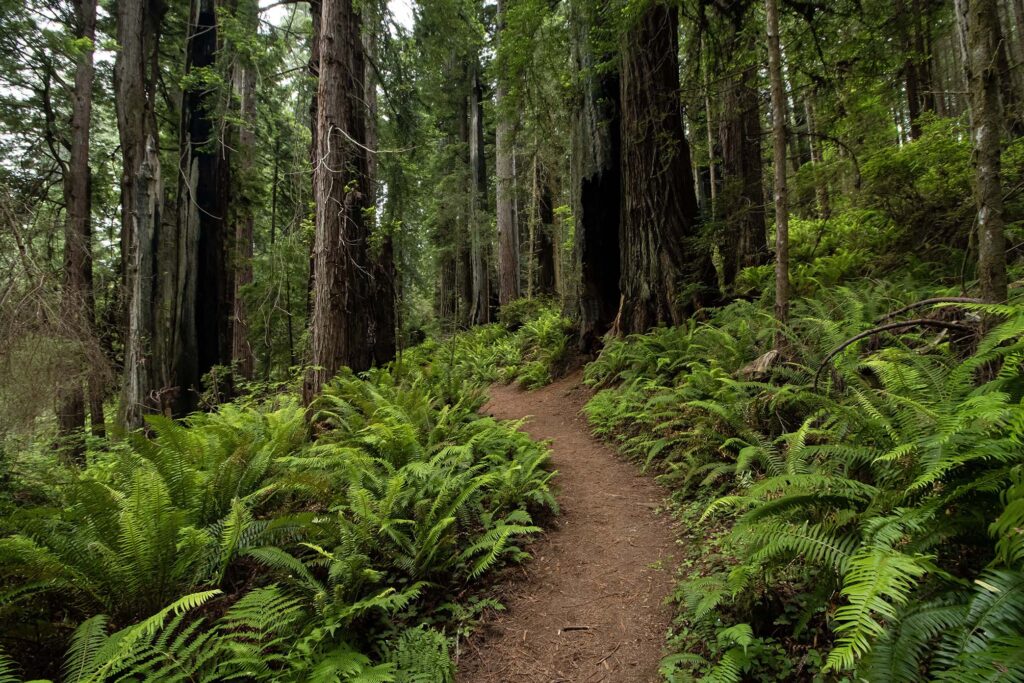
After Fern Canyon, we hiked the Trillium Falls loop, where we saw more ferns and also groves of redwoods. The trail was busy from the trailhead to the falls but cleared out afterward.
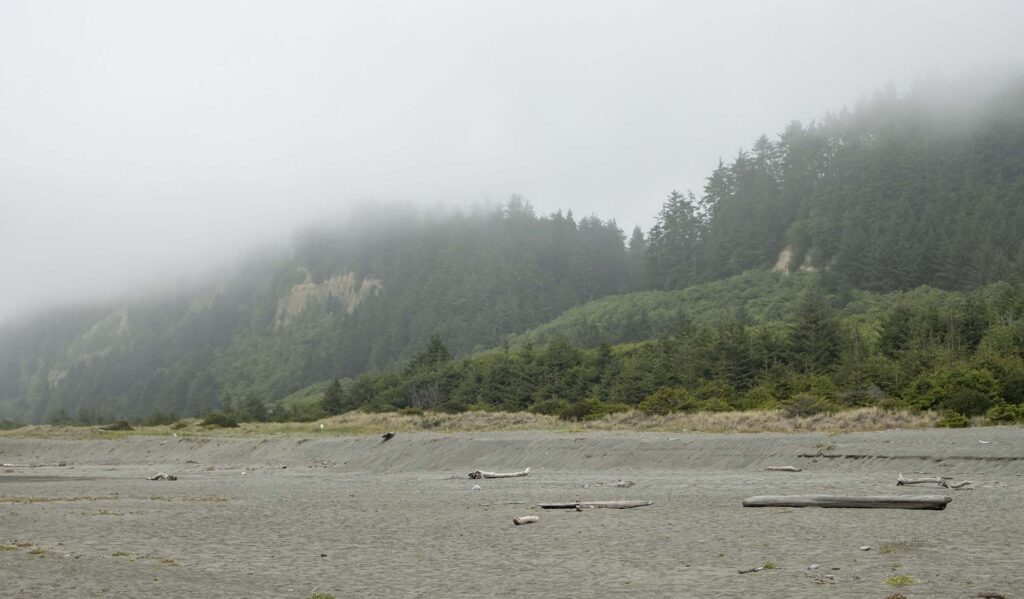
We then hiked the Coastal Trail to the beach. It’s one of those “down and up” trails where we get the payoff and then have to do the work.
Day 6 – Medford
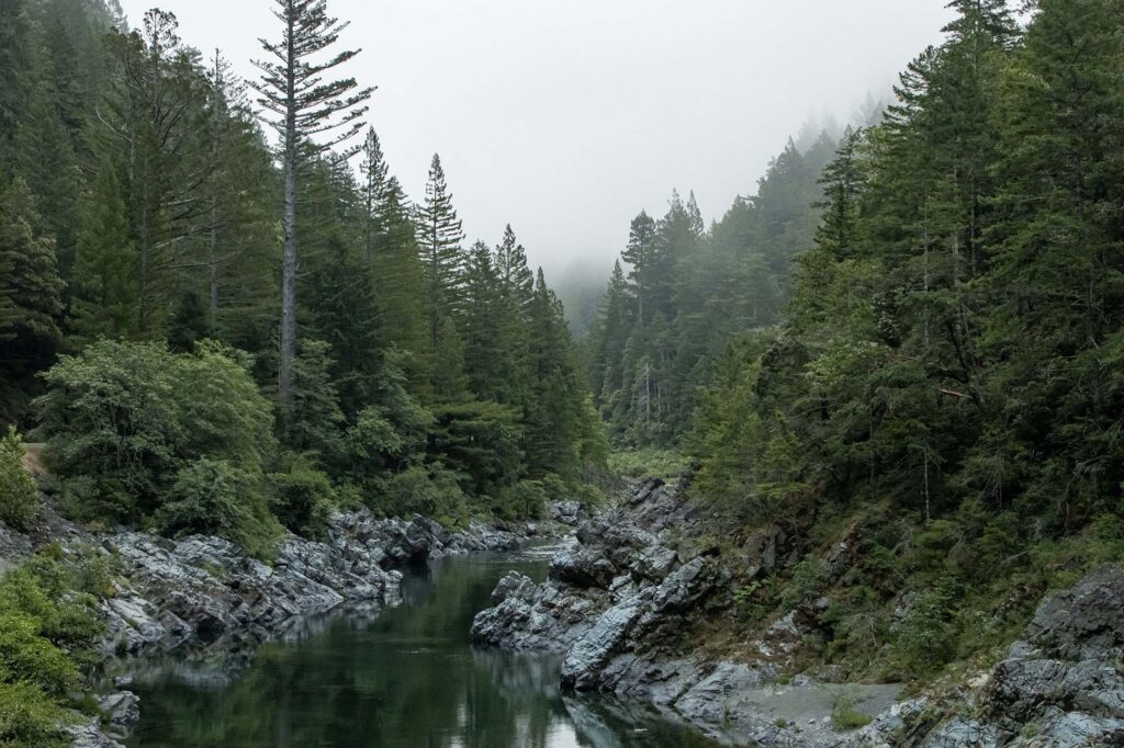
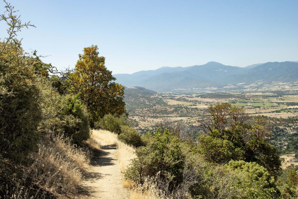
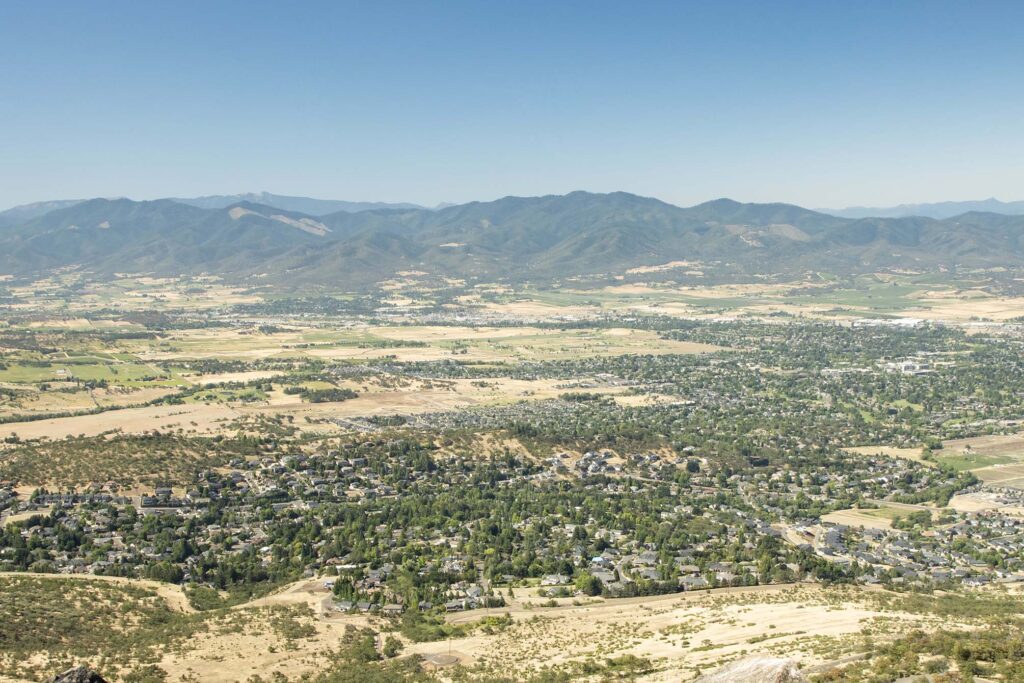
We set out early to arrive at Medford in the morning. It was forecast to be in the high 90s in the afternoon, so we wanted to hike Roxy Ann Peak before while the temperatures were still tolerable. We followed streams and rivers through the hills, which were covered in fog until we crossed the coastal ranges.
Roxy Ann Peak is a 3,576 foot high volcanic butte located in Prescott Park in the city of Medford. Its summit overlooks Medford and the surrounding region.
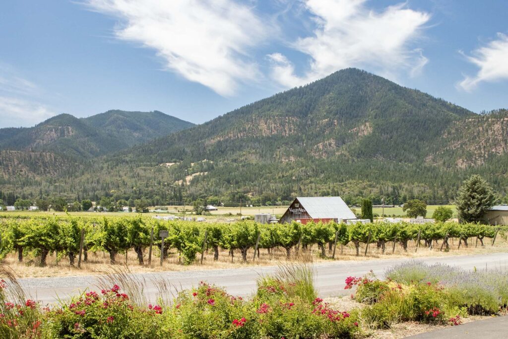
After lunch, we went to Valley View Winery, where we had an excellent wine tasting with the owner.
It was in the mid-90s in the afternoon, so we spent most of our time in the air conditioned car, driving around the very scenic area.
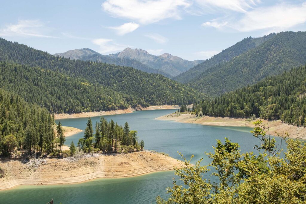
Applegate Lake is formed by a dam. I took a few pictures and headed back to the car, starting to suffer heat exhaustion. The temperature topped out at 98 degrees.
Day 7 – Crater Lake
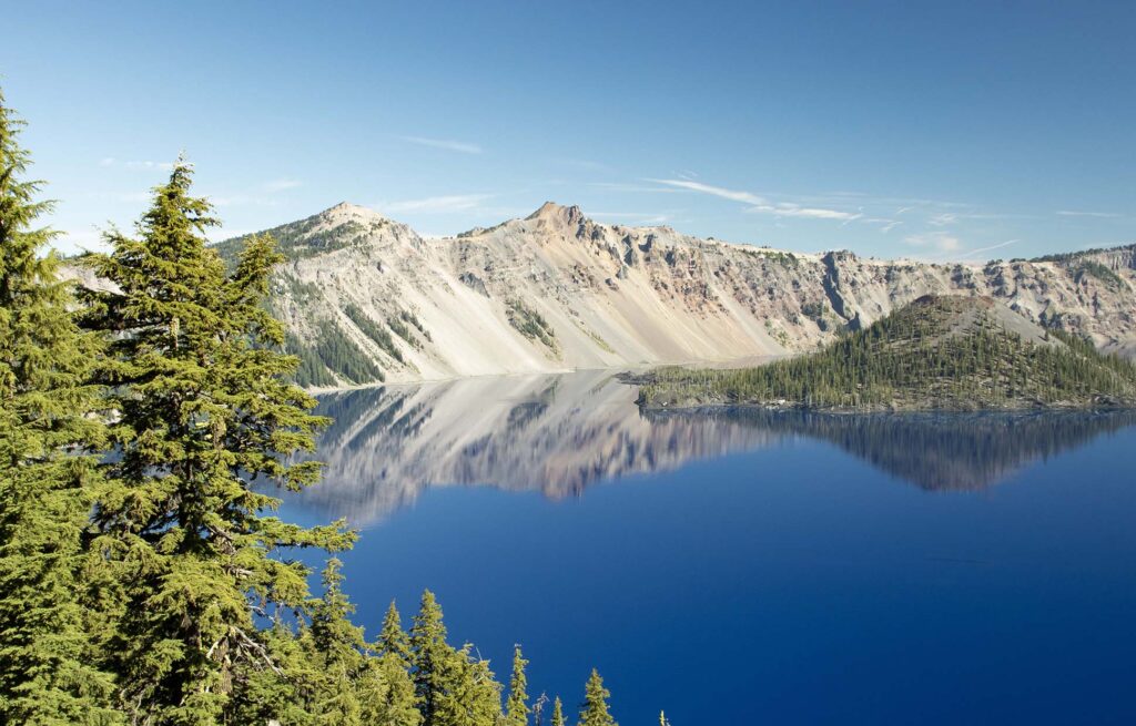
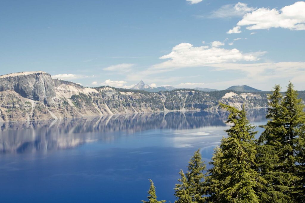
We arrived at Crater Lake in the morning light and walked along the Rim Trail. The color of the water is unreal.
We then hiked to Garfield Peak, which stands at 8,054 feet, almost 1,000 feet above the visitor center. It was a beautiful hike, though quite strenuous since I have trouble hiking above 6,000 feet.
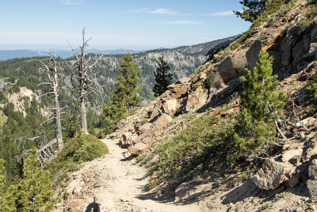
The trail offered views of the mountains to the south of Crater Lake. Upper Klamath Lake is in the distance to the right.
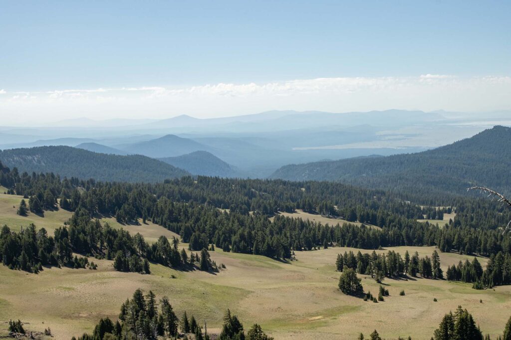
The view was worth the difficult hike!
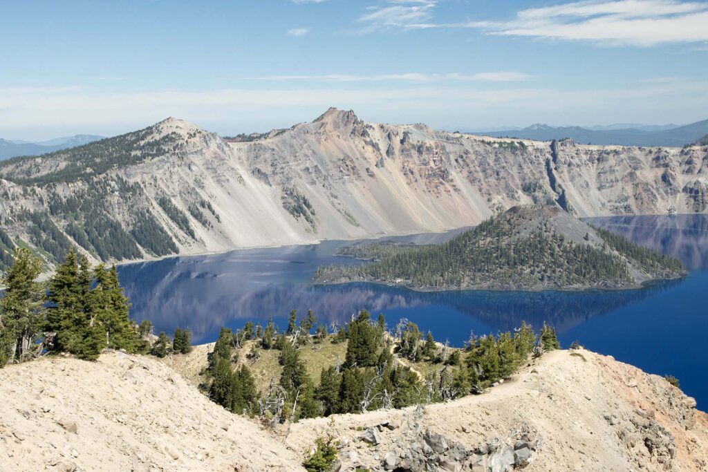
After the hike, we drove along the Rim, stopping at several overlooks.
On the opposite side of the road, we could see other volcanoes to the north.
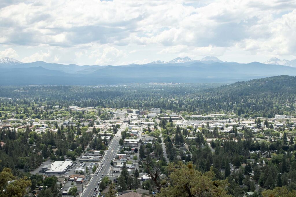
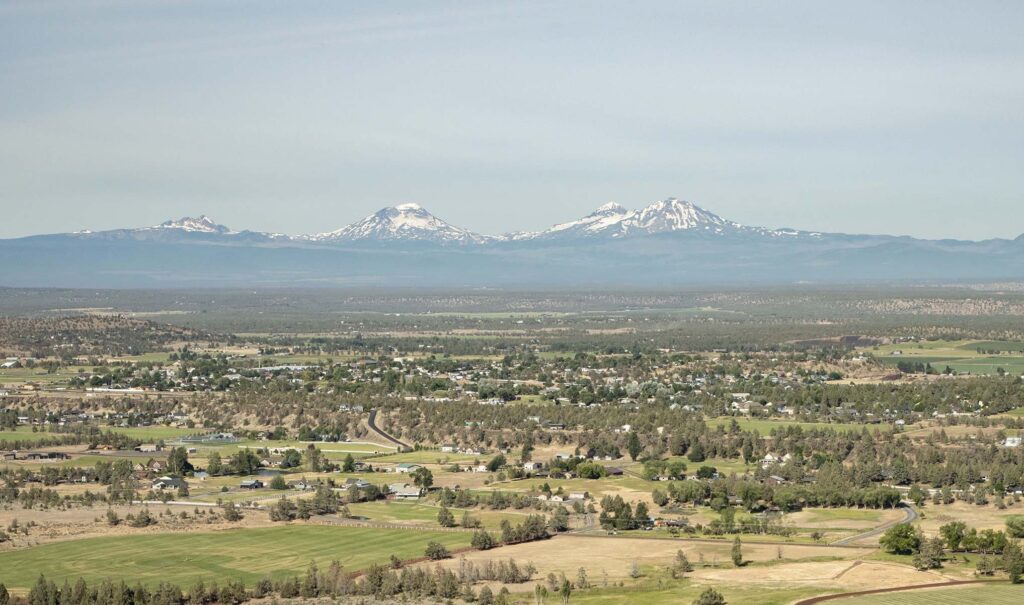
We arrived in Bend in time to drive to Pilot Butte, which offers a view of the city and its surrounding mountains.
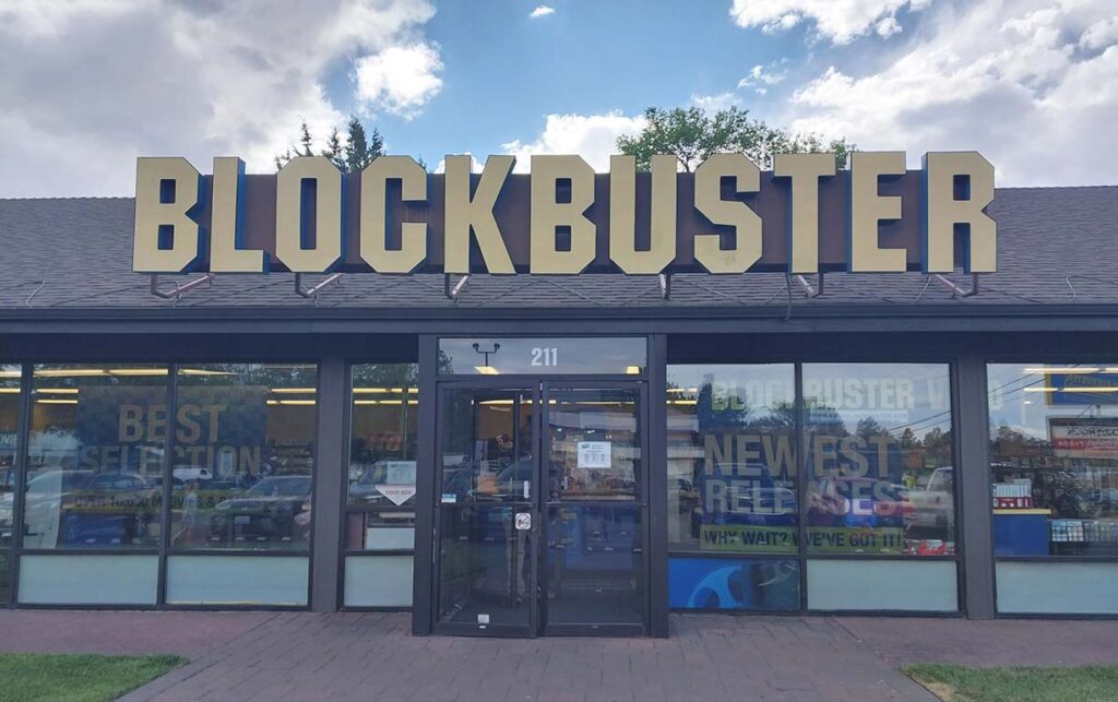
While looking for a place to have dinner, we saw “Blockbuster Video” on the map. Although we’d watched the Netflix documentary on it, we hadn’t remembered that The Last Blockbuster is in Bend. Of course, we had to stop by and pick up Blockbuster swag.
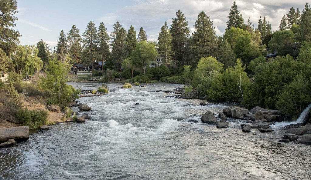
After dinner, we walked along the Deschutes River Trail, which was across the street from our hotel.
Day 8 – Bend
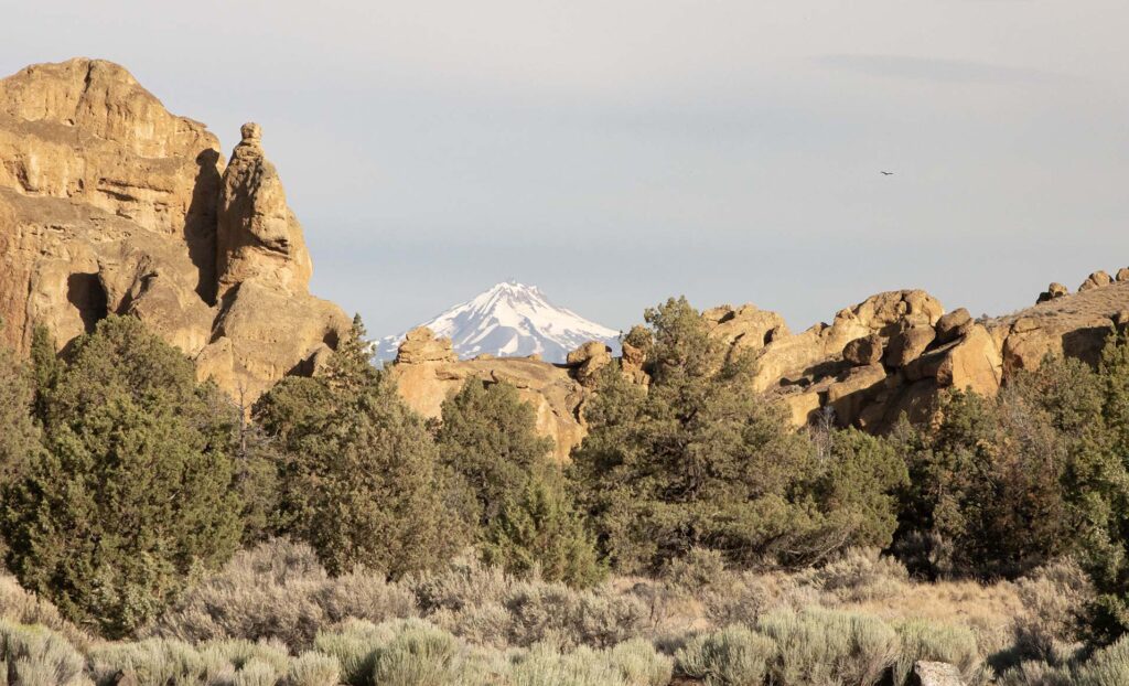
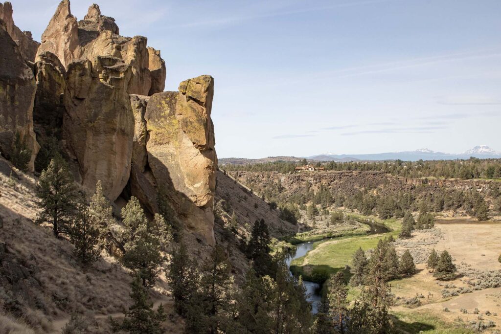
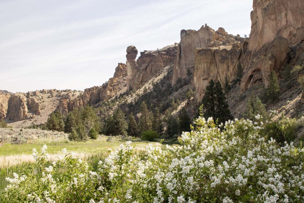
The temperatures were forecast to be lower than we’d expected, so we looked for additional outdoor activities in the Bend area. We saw that Smith Rock State Park was nearby. I had seen pictures of it years earlier but didn’t realize how close it was to Bend. We arrived early in the morning to see Mount Jefferson looming above the rocks.
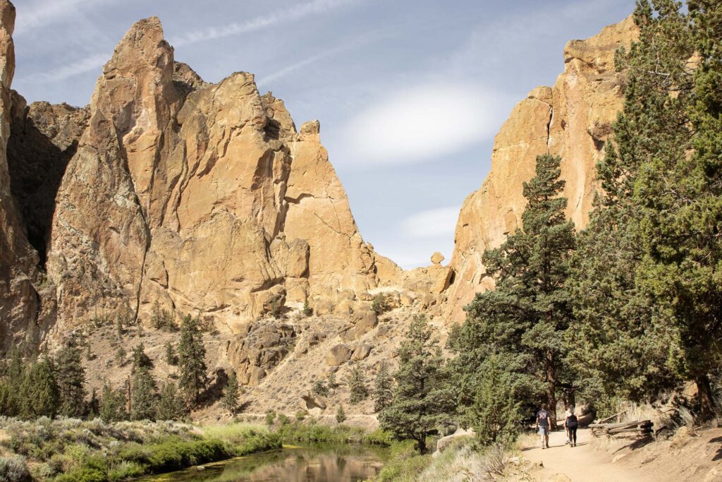
We hiked the aptly-named Misery Ridge and the Mesa Verde and River trails, hiking down the gorge, then up nearly 800 feet to the top of the rocks.
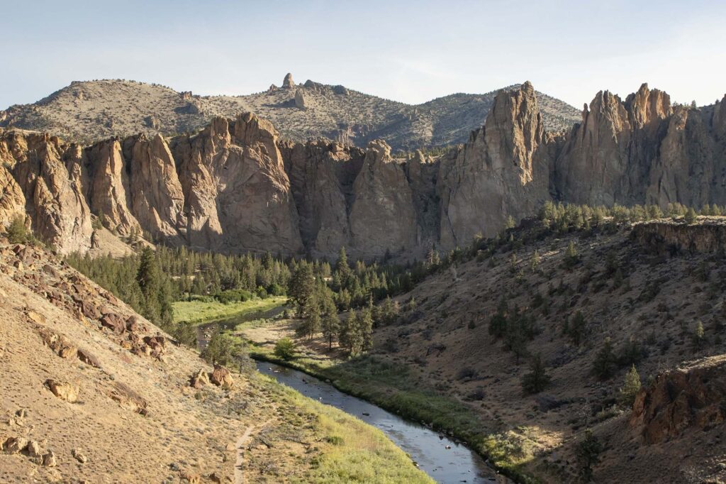
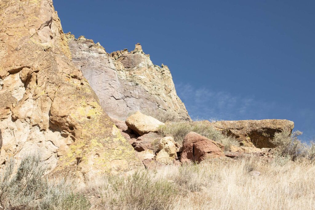
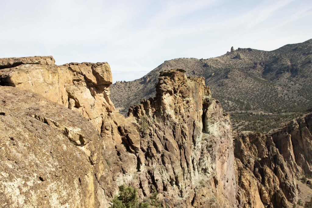
The views from Misery Ridge were worth the effort. We could see the rocks, the Cascade volcanoes, and the farmland and towns below.
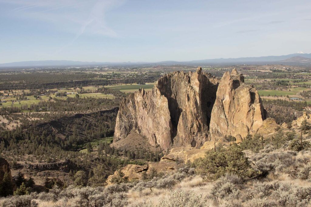
Other than the hike out of the gorge, the Mesa Verde and River Trails were much easier.
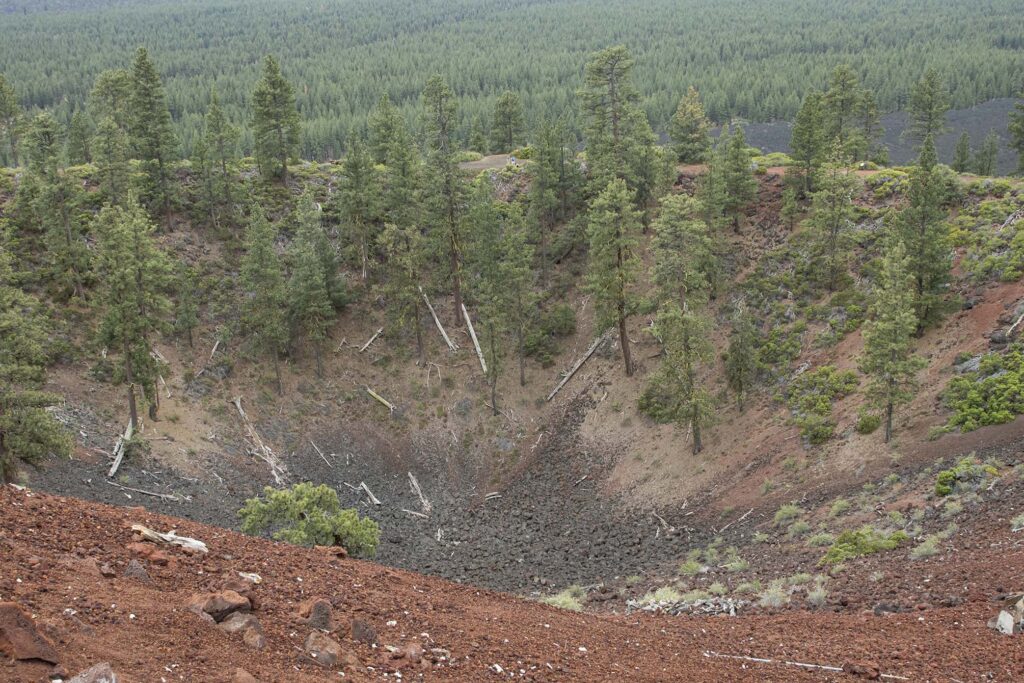
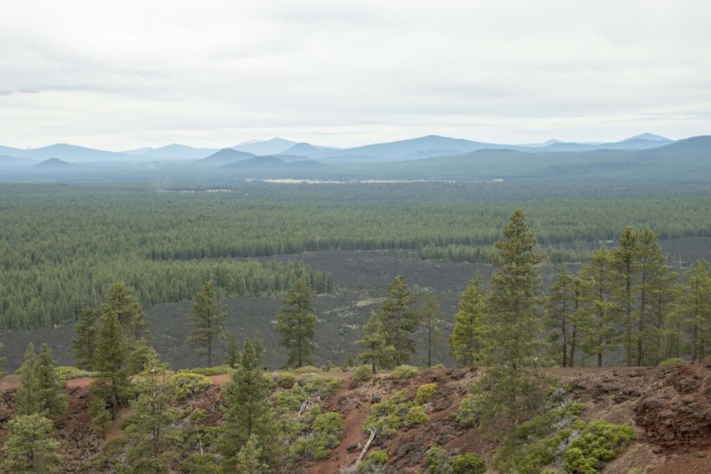
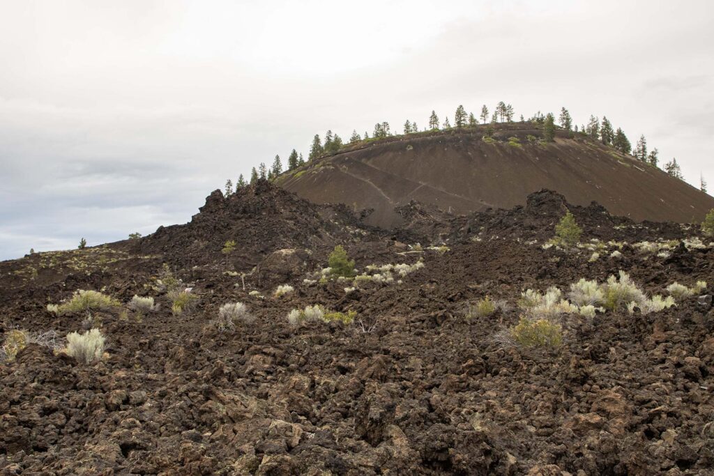
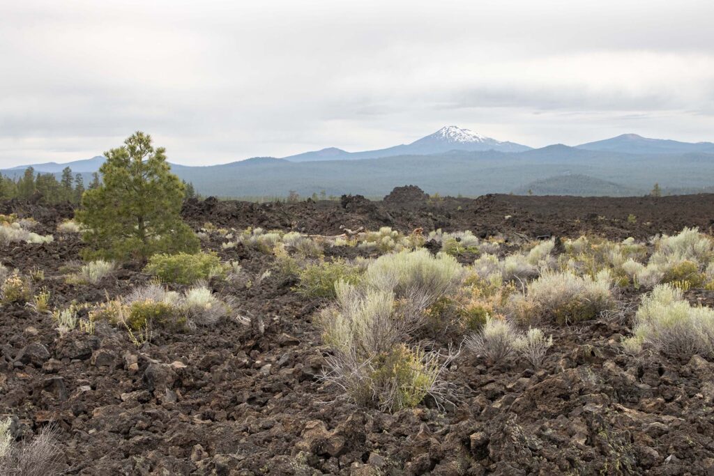
We spent the afternoon at the High Desert Museum and the Newberry National Volcanic Monument. We took the shuttle to the rim of the caldera of Lava Butte.
Day 9 – Drive to Salem
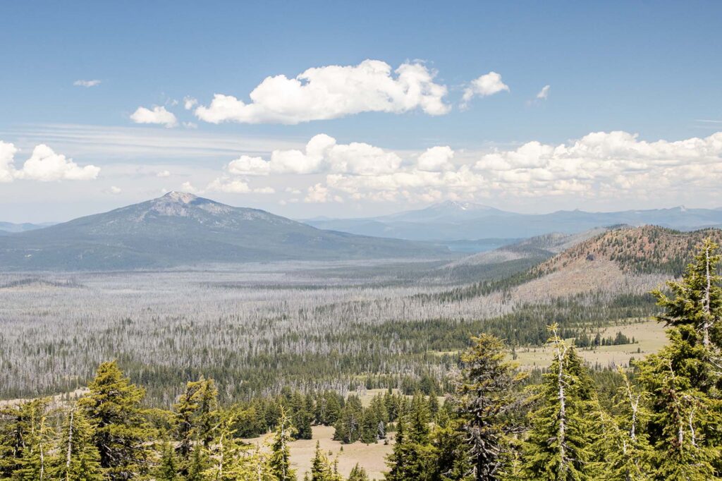
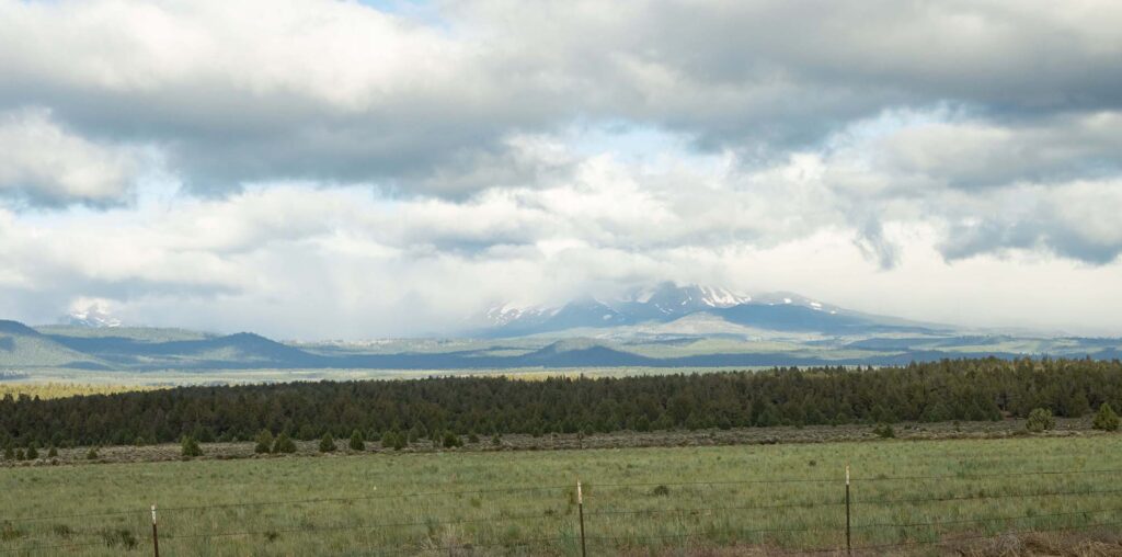
We had planned to drive further north to Government Camp and a view of Mount Hood. Unfortunately, it was raining in that area, so we wouldn’t have seen anything. Instead, we took the more direct route and spend some of the cloudy day at Silver Falls State Park. As we left Bend, the Three Sisters were covered in clouds at this viewpoint.
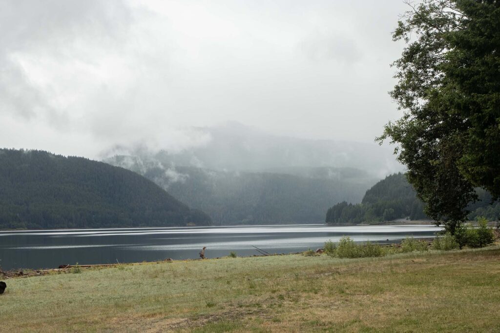
The fog was beautiful at Detroit Lake.
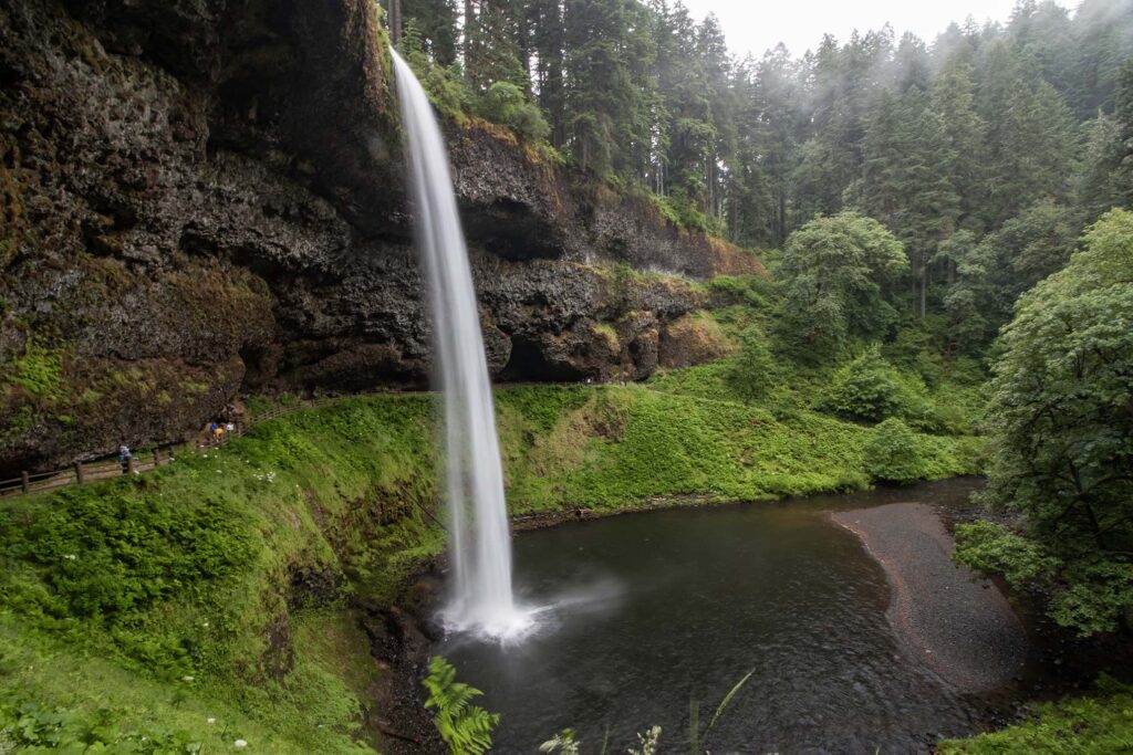
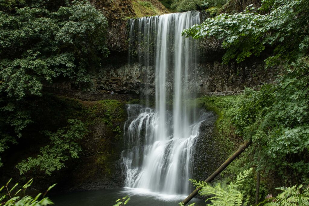
The weather was great to walk the Canyon Trail from South Falls to Lower South Falls.
The rain cleared, but it was cloudy when we arrived in the Willamette Valley. We went to Ankeny National Wildlife Refuge, where we saw some birds, but being the afternoon, it wasn’t as active as it might have been in the morning.

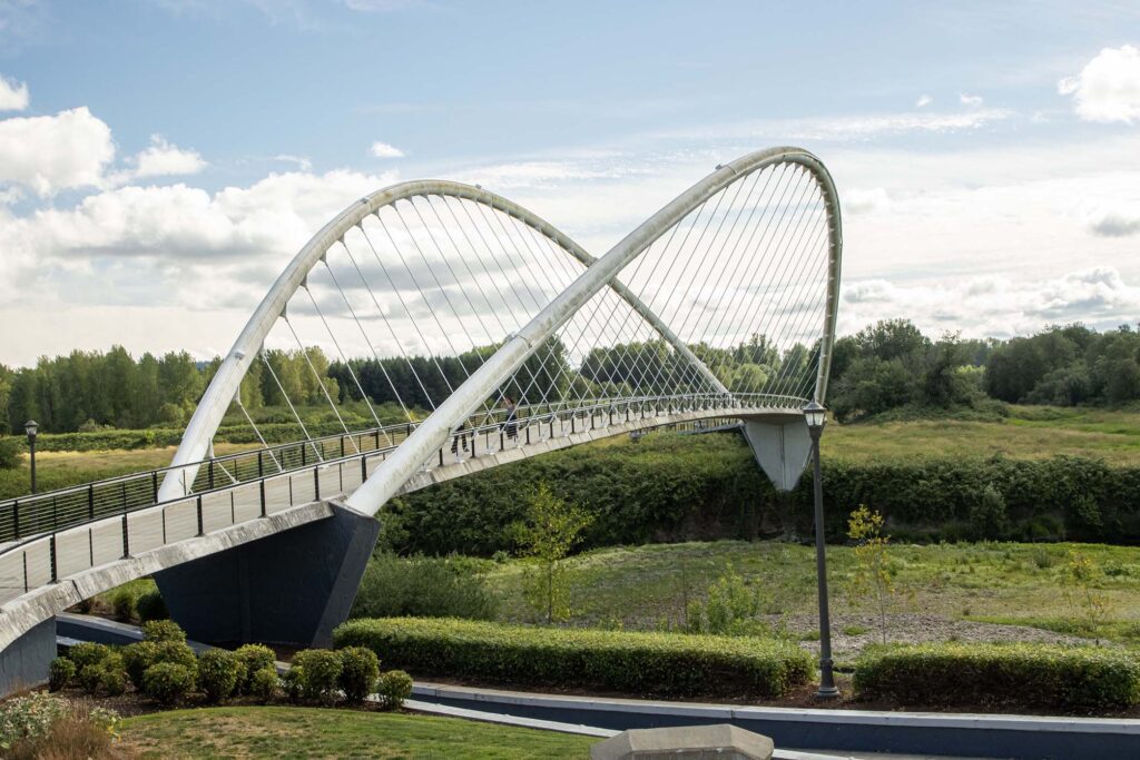
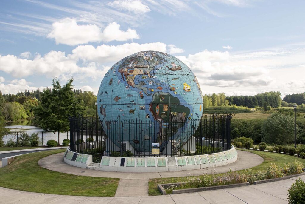
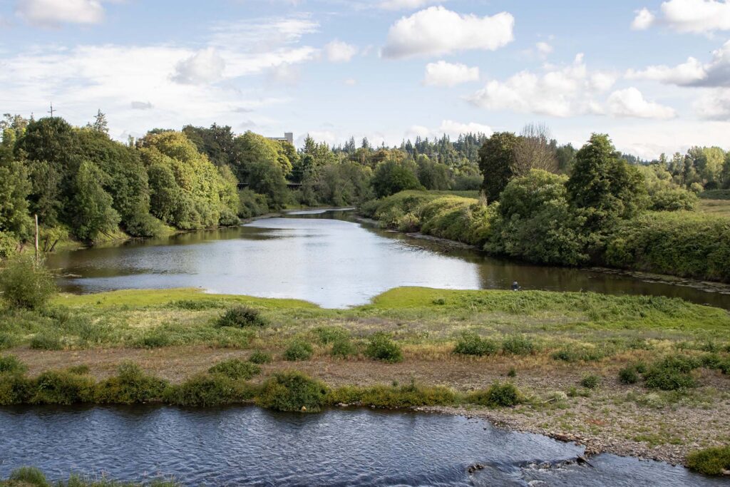
In the evening, we went to the Riverfront City Park in Salem.
Day 10 – Willamette Valley
The weather forecast called for mostly cloudy skies with some sun in the morning. We decided to drive to Corvallis to hike Mary’s Peak for overlooks of the Willamette Valley. Unfortunately, when we arrived, the mountain was clouded over. So, we diverted to Bald Hill, which was a short but scenic hike.
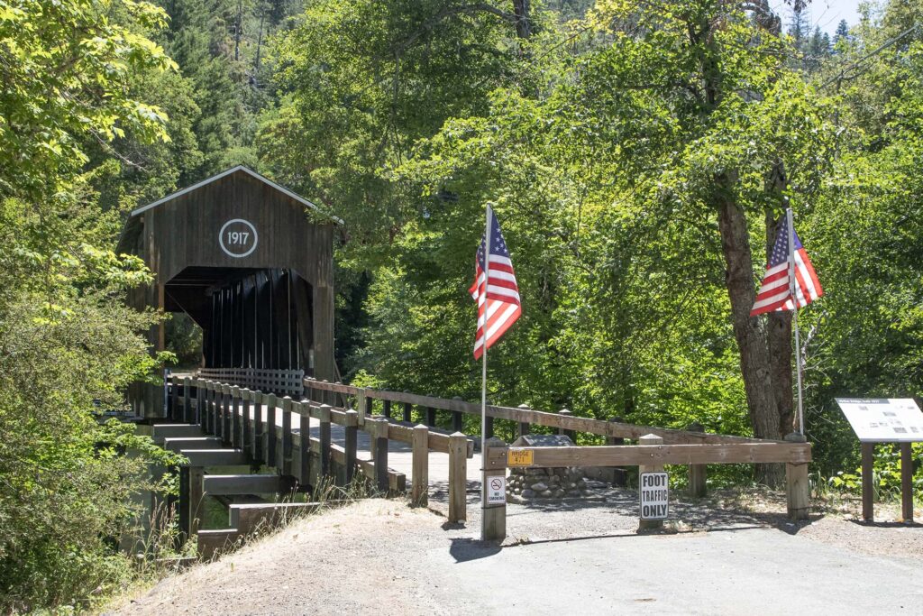
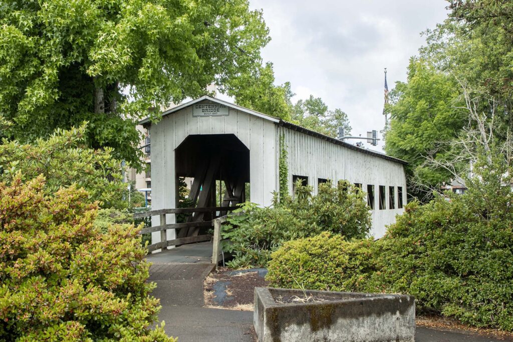
It was raining to the north, so we continued south to Cottage Grove, which hails itself as the Covered Bridge Capital of Oregon. We saw several covered bridges and enjoyed the scenery around them.
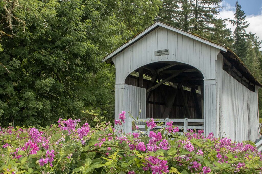
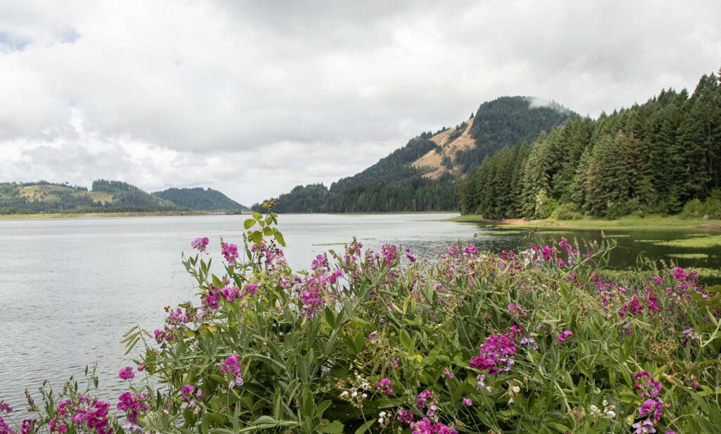
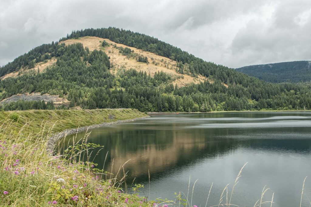
The bridge tour passed by Dorena Lake, a reservoir to the east of Cottage Grove.
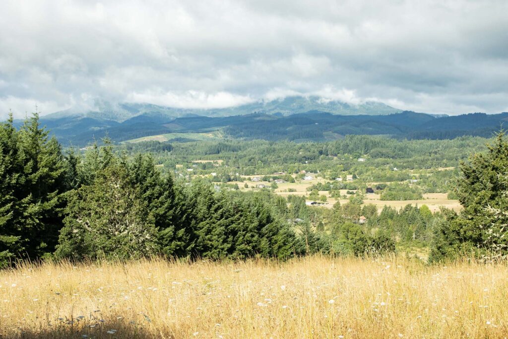
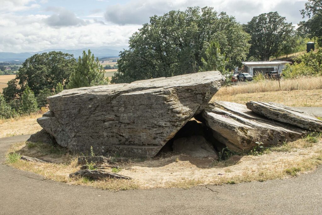
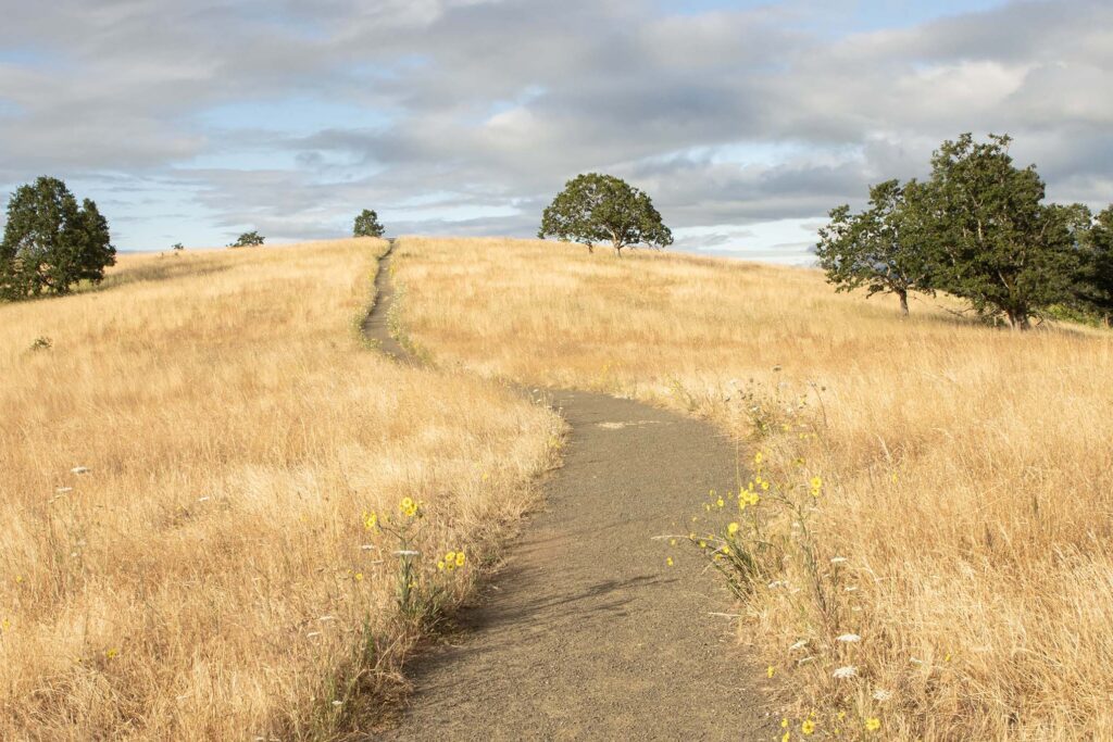
The clouds started to clear later in the day, so we looked on the map to see if we could find an overlook. We found Erratic Rock, a 90-ton rock deposited during one of the Ice Age floods. Reviews said the trail was scenic, and we were not disappointed.
Day 11 – Willamette Valley
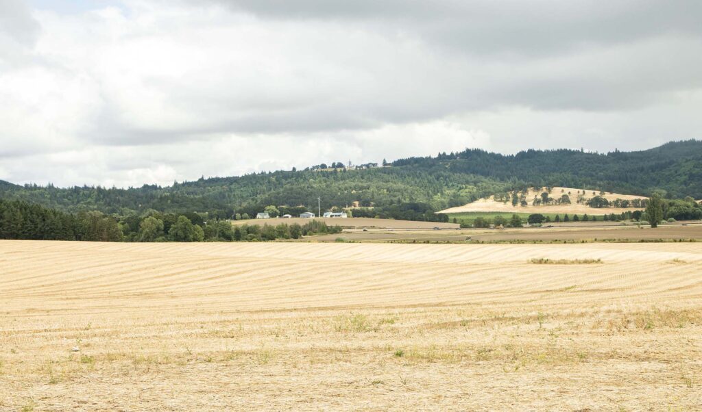
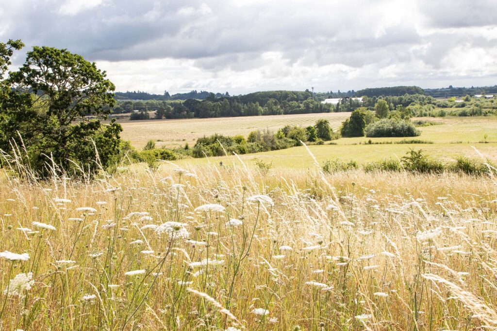
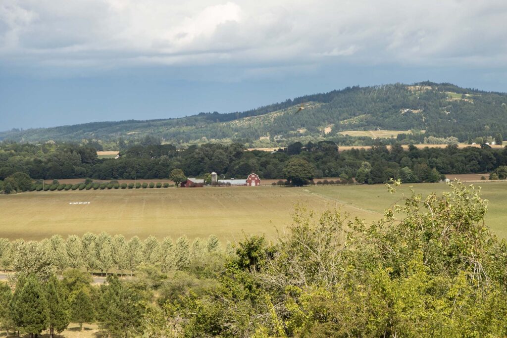
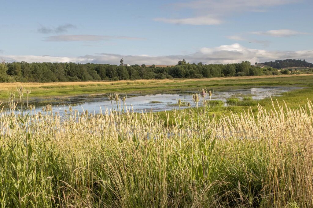
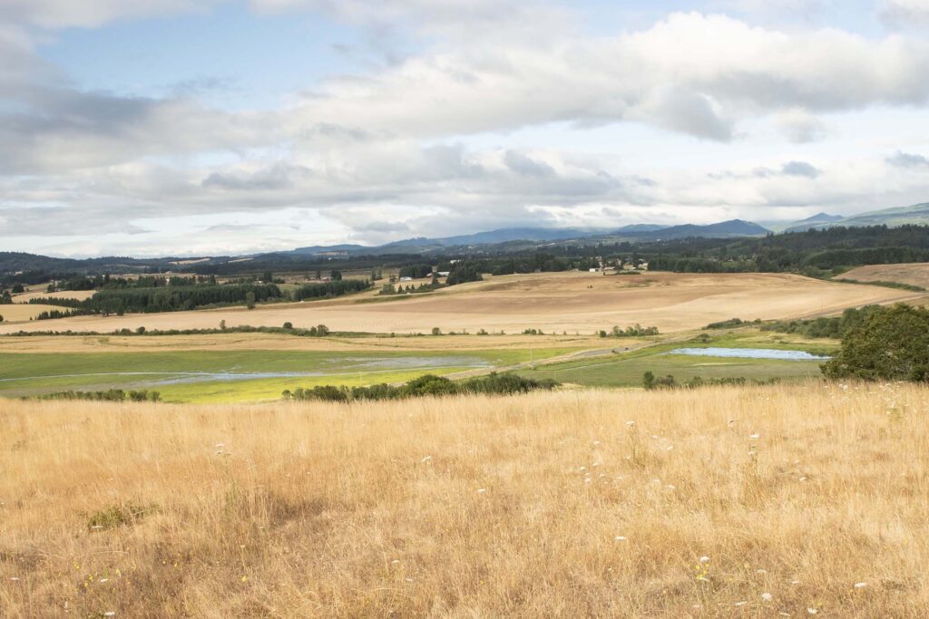
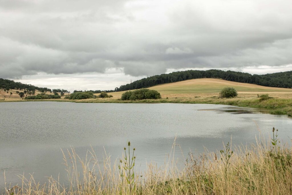
We started the day at Baskett Slough National Wildlife Refuge. We thought it would be similar to the wetlands that we’d seen at Ankeny. Although there were plenty of wetlands, there were also trails with overlooks of the valley and its farms and vineyards.
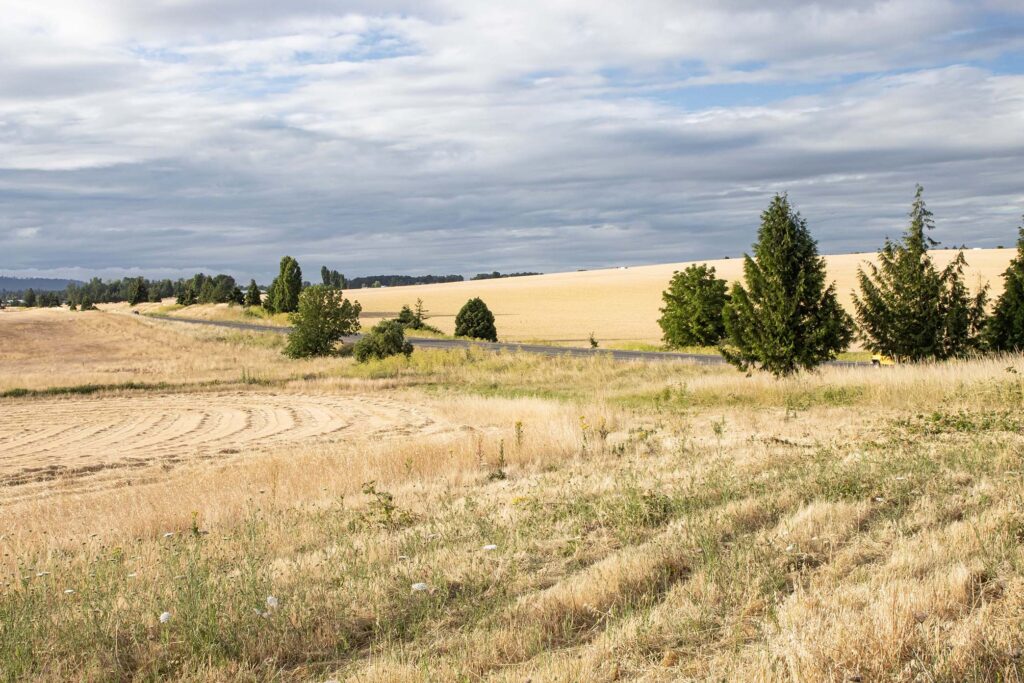
We hiked to the top of a hill for views of the valley.
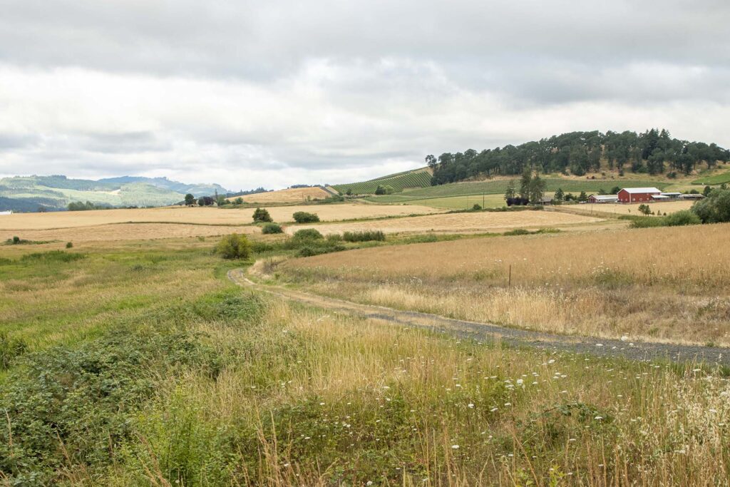
The Morgan Lake trail also passed through wetlands.
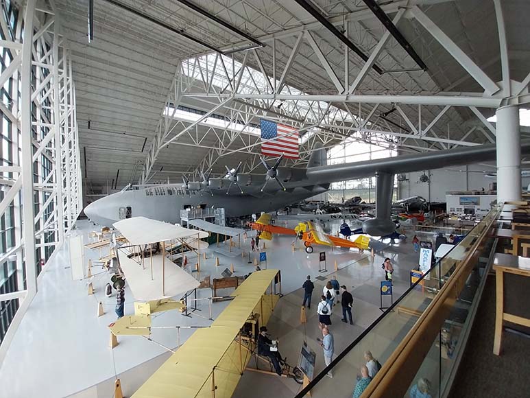
We seem to be making a habit of visiting air and space museums on our trips. This time, it was the Evergreen Aviation & Space Museum in McMinnville. It’s home to our favorite plane, the SR-71.

The museum is also home to the one-of-its-kind Spruce Goose, an enormous plane which we were able to enter.
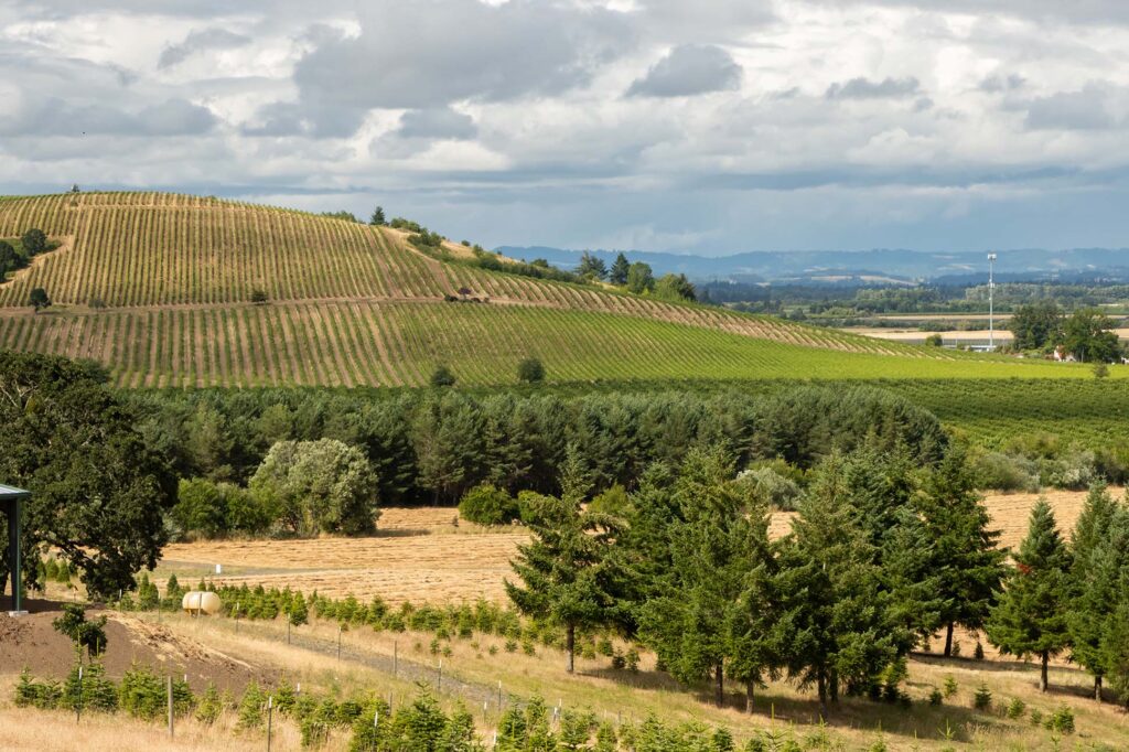
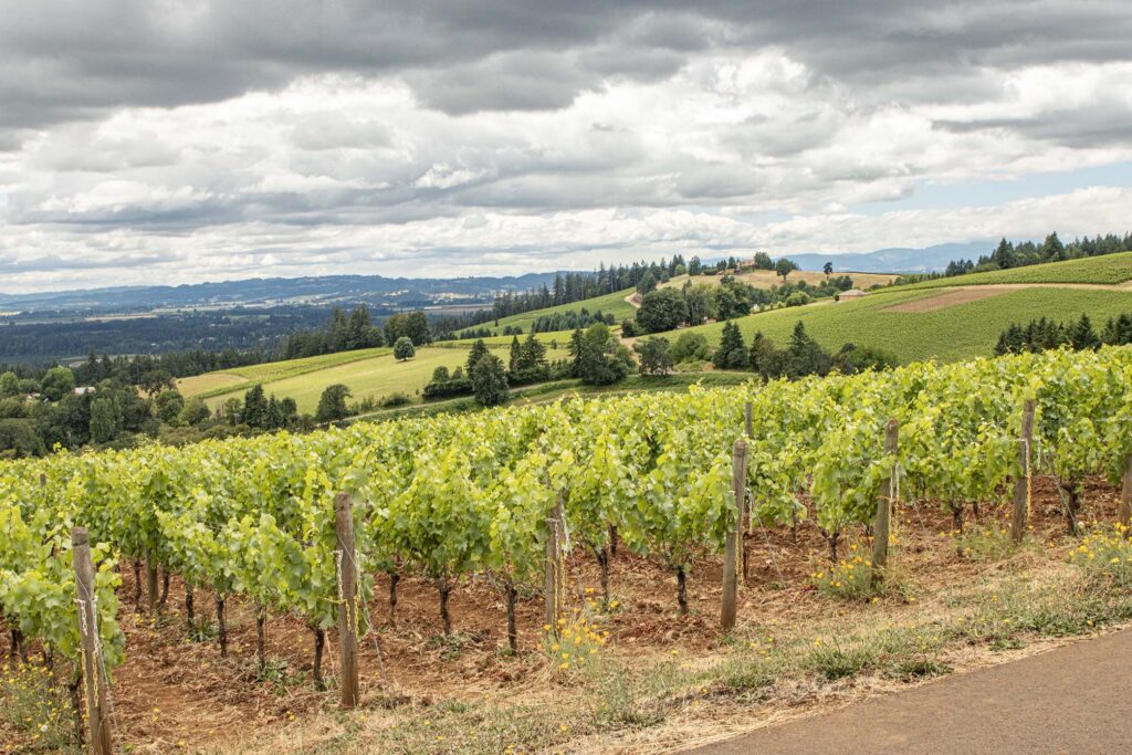
And yes, the museum is surrounded by vineyards.
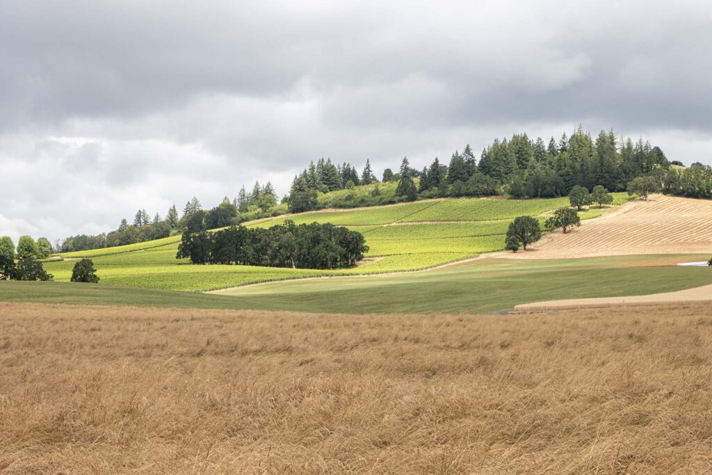
We stopped to take pictures of a vineyard from a pull-off in Dundee Hills.
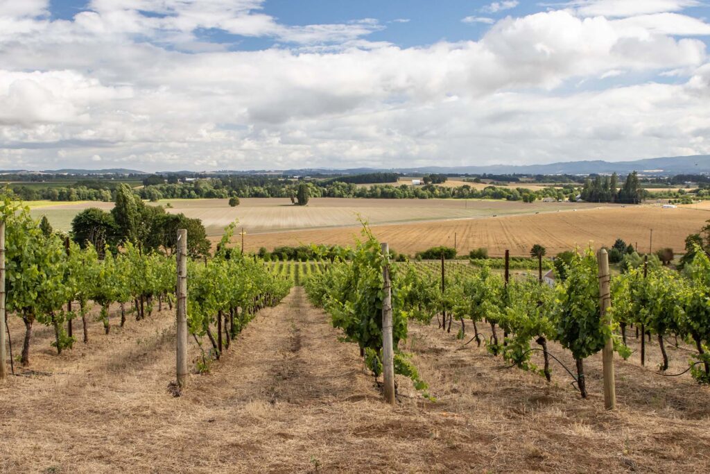
Then we did a tasting of Domaine Drouhin Oregon wines and their French counterparts.
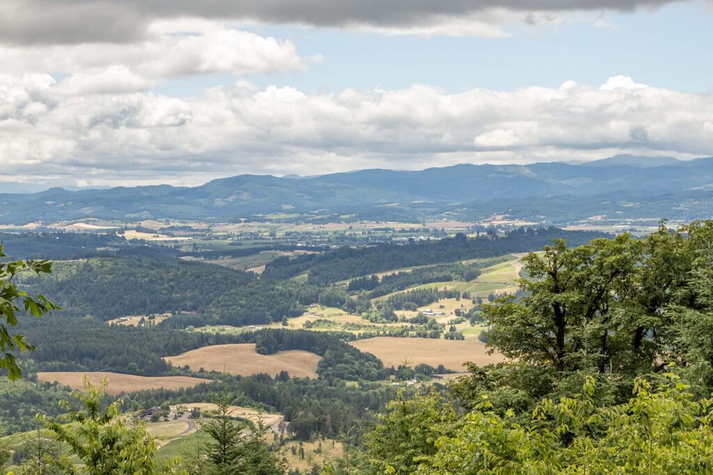
We’d heard mixed reviews of Bald Peak, the highest point in the northern Willamette Valley. We should have heeded the warnings that the view is mostly of trees.
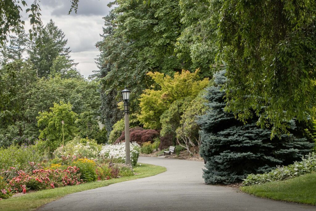
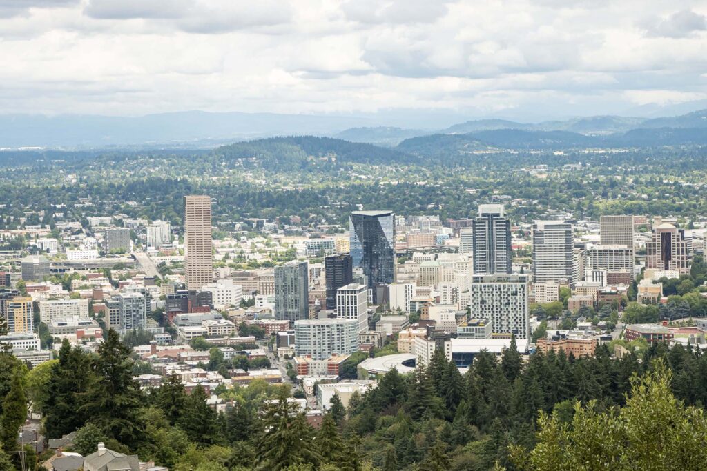
Our final stop of the day (and of our trip) was the Pittock Mansion, a home built in 1914 and overlooking the city of Portland.
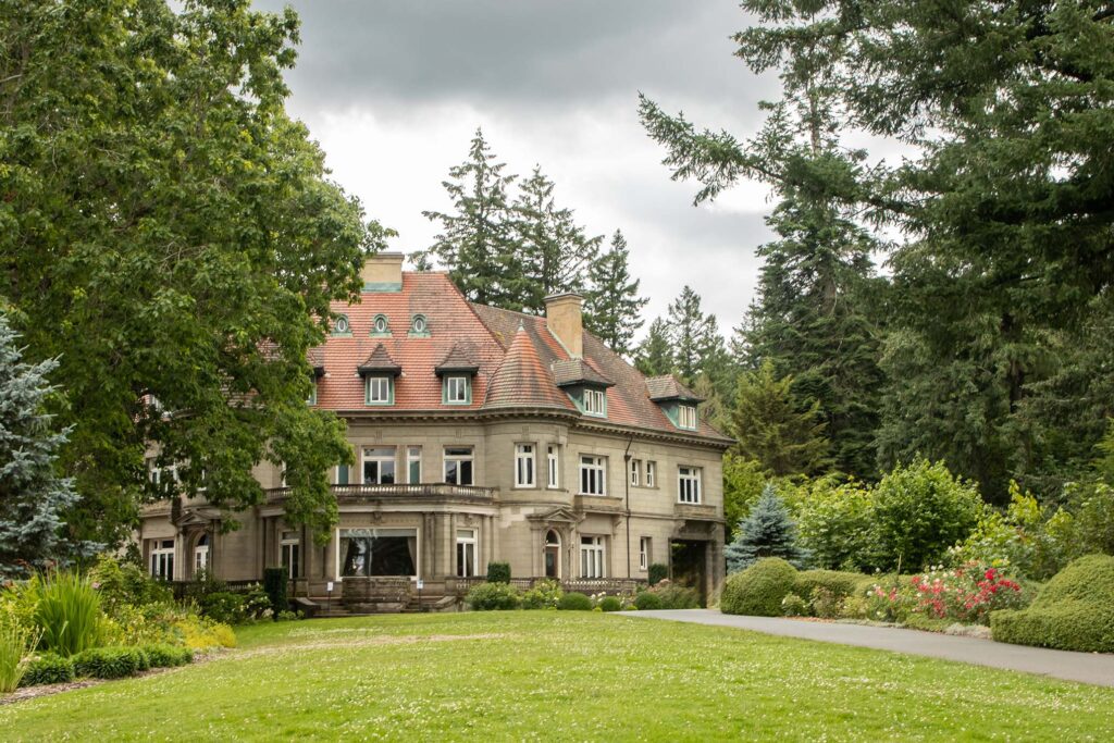
We didn’t spend a lot of time at the mansion. We were in a hurry to grab carry-out, check into the hotel, drop the rental car, and return to our room to pack for our flight the next morning. We set our alarms for 2am so we could arrive at the gate in time for coffee before boarding at 5am.
We enjoyed Oregon quite a bit and would recommend it. Perhaps we will return someday and see the things we missed this time around.
General Trip Map (excursions not included) is here.
(c) 2026 J. Atwater. All rights reserved.