We decided to take a short trip to visit friends in Daly City, just south of San Francisco.
Day 1 (October 11) – Route 1 Coast
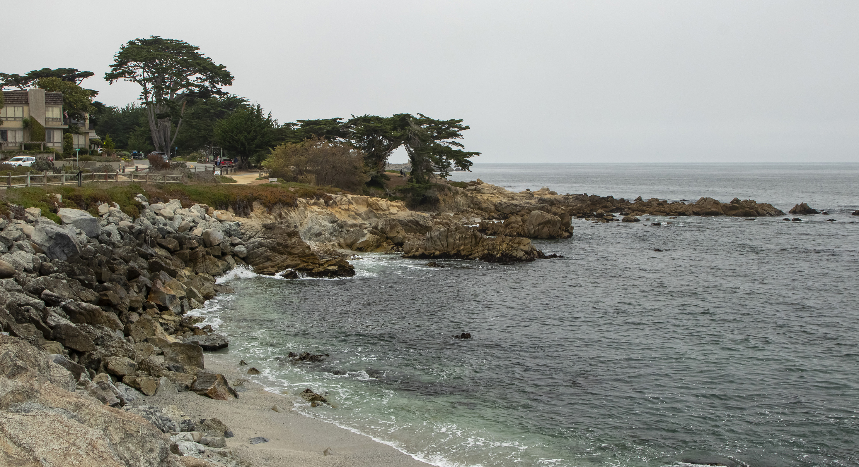
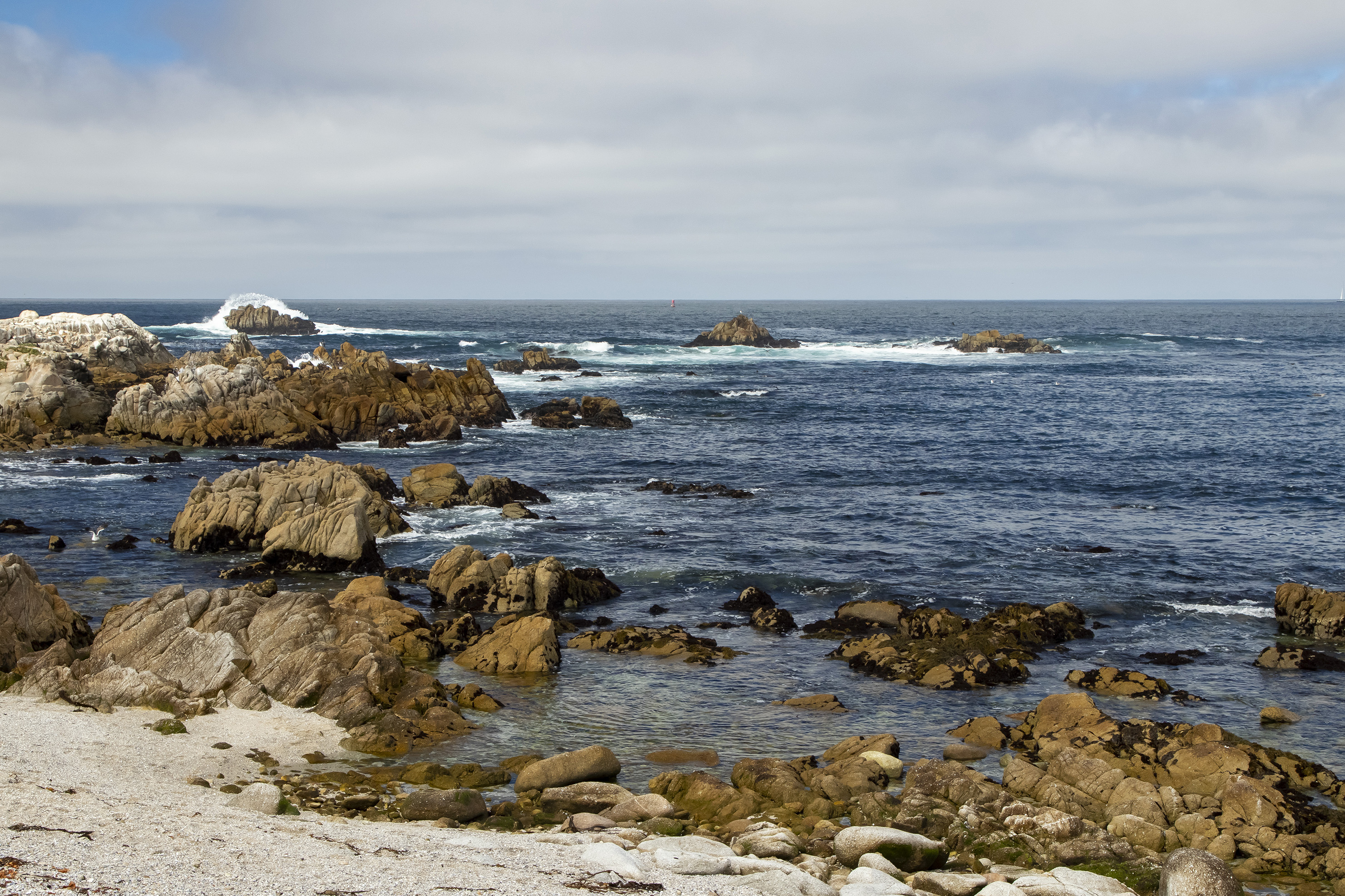
We spent our first full day driving Route 1 south to the Carmel Highlands, stopping along the way to enjoy the coastal scenery.
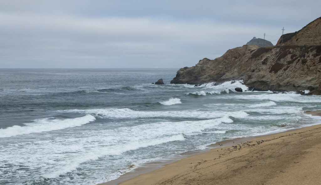
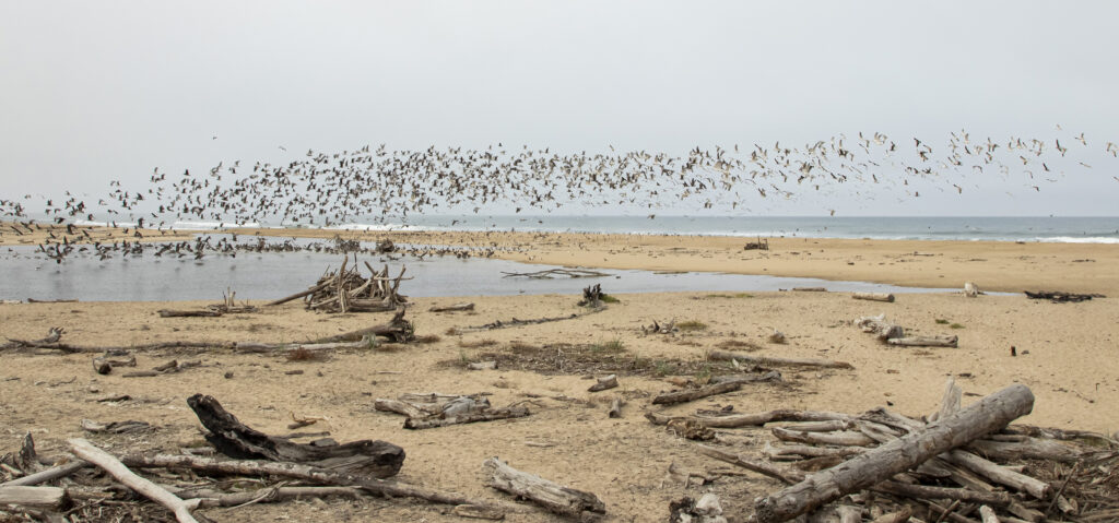
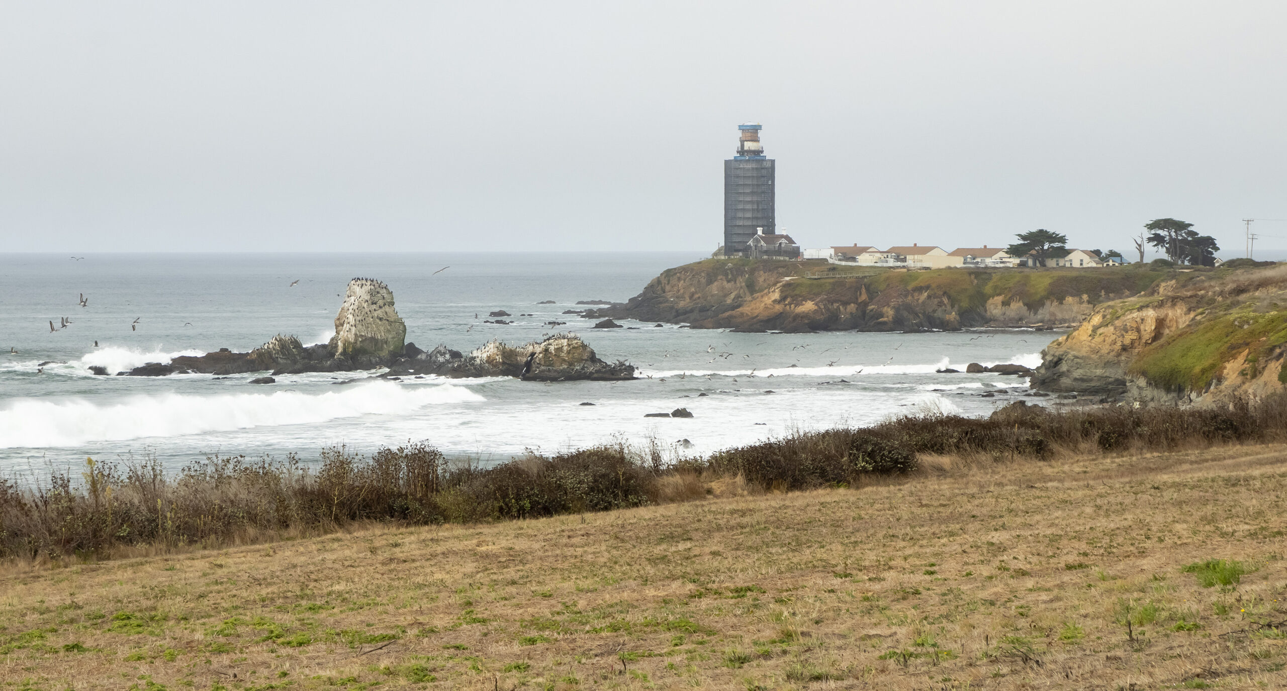
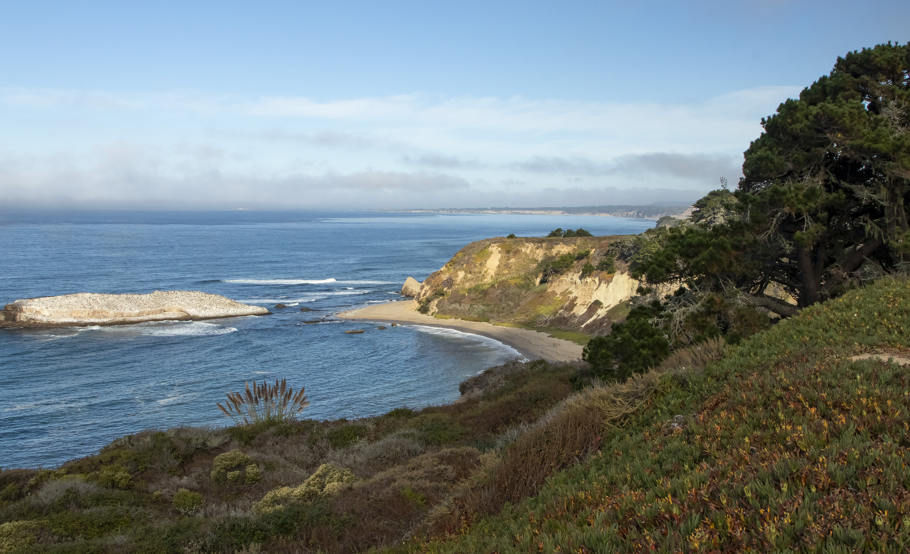
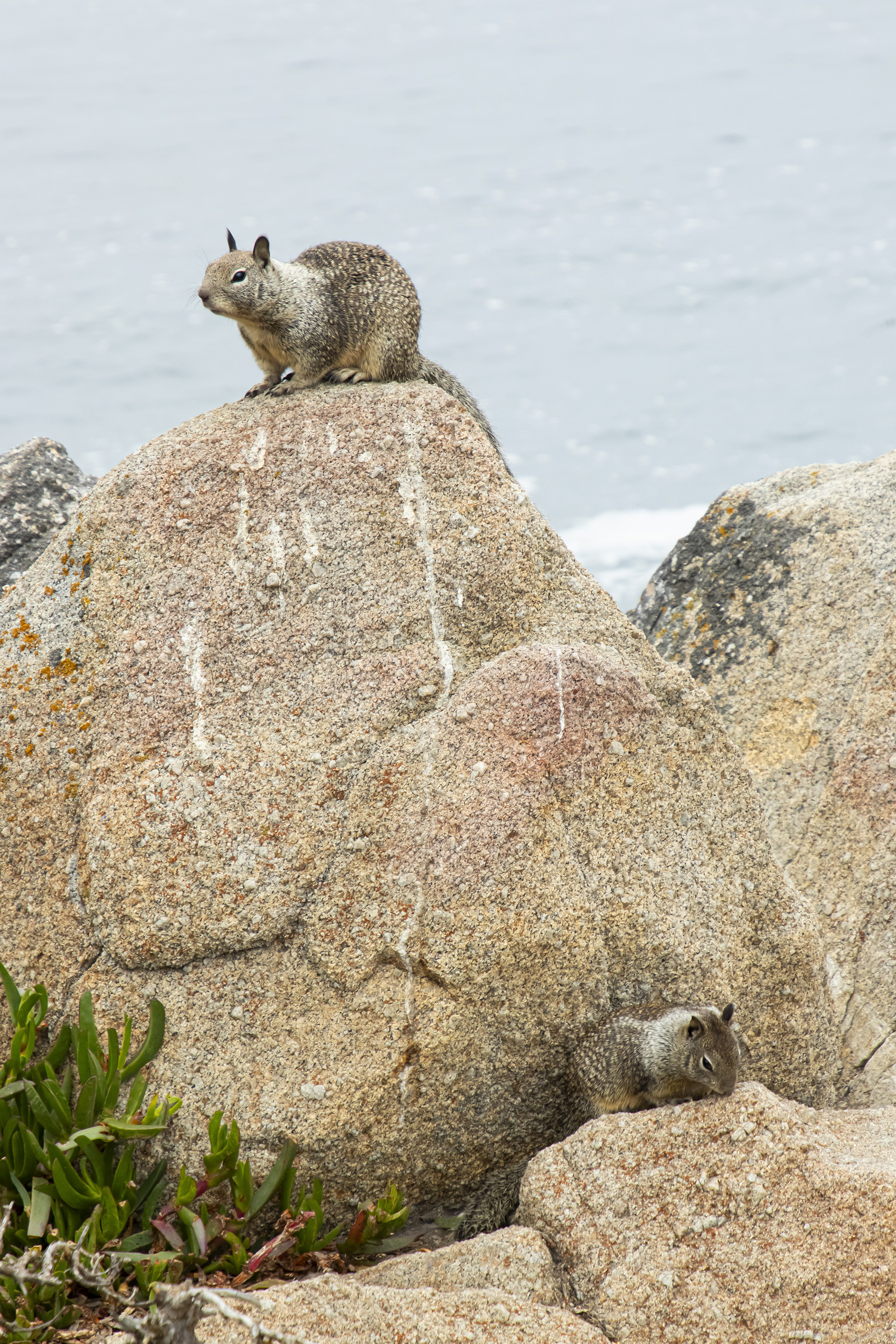
We walked a trail along the coast in Monterey and stopped for lunch. The squirrels were hamming it up, asking for some of our food.
After stopping at the De Tierra tasting room in Carmel-by-the-Sea, we hiked to an overlook in the Carmel Highlands.
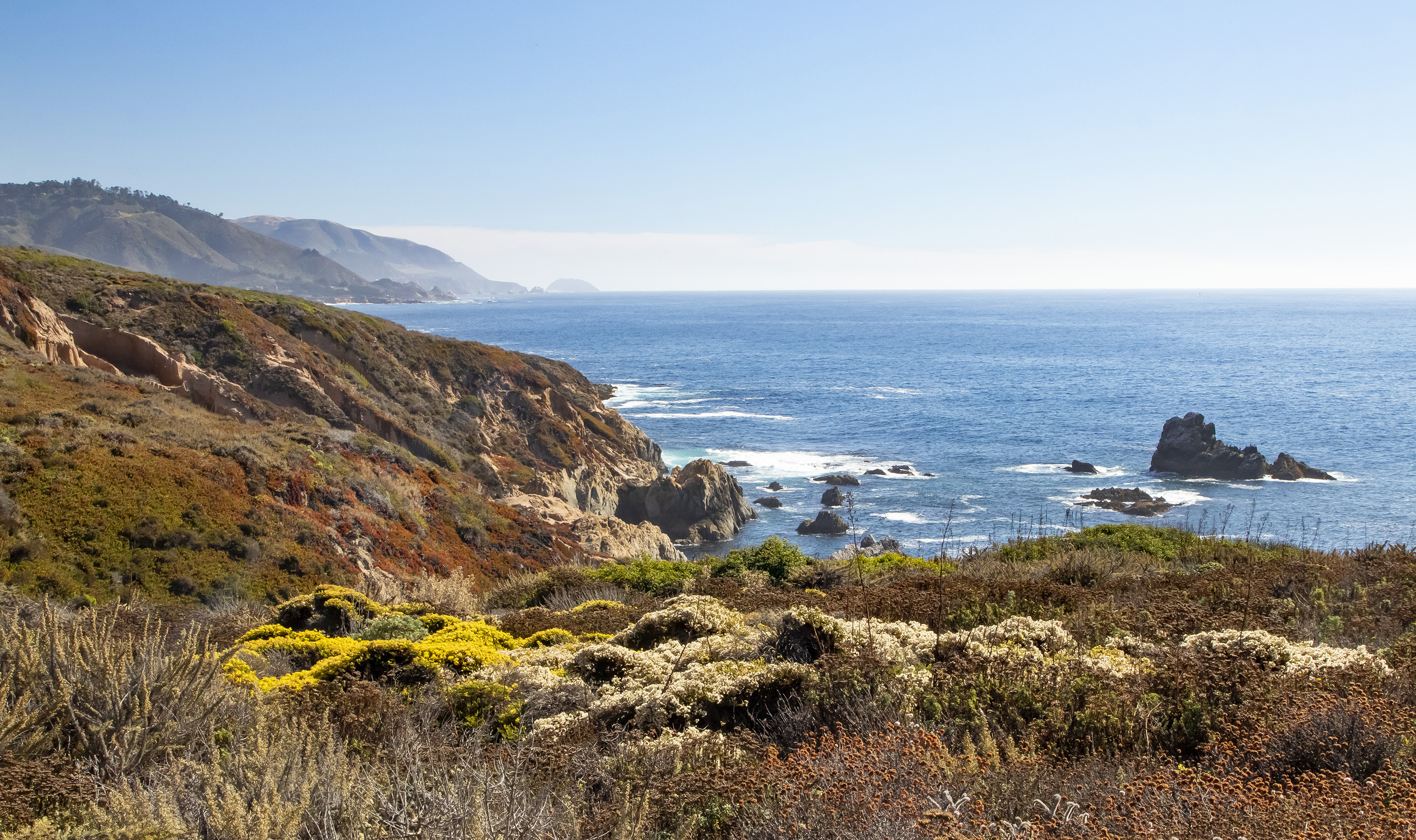
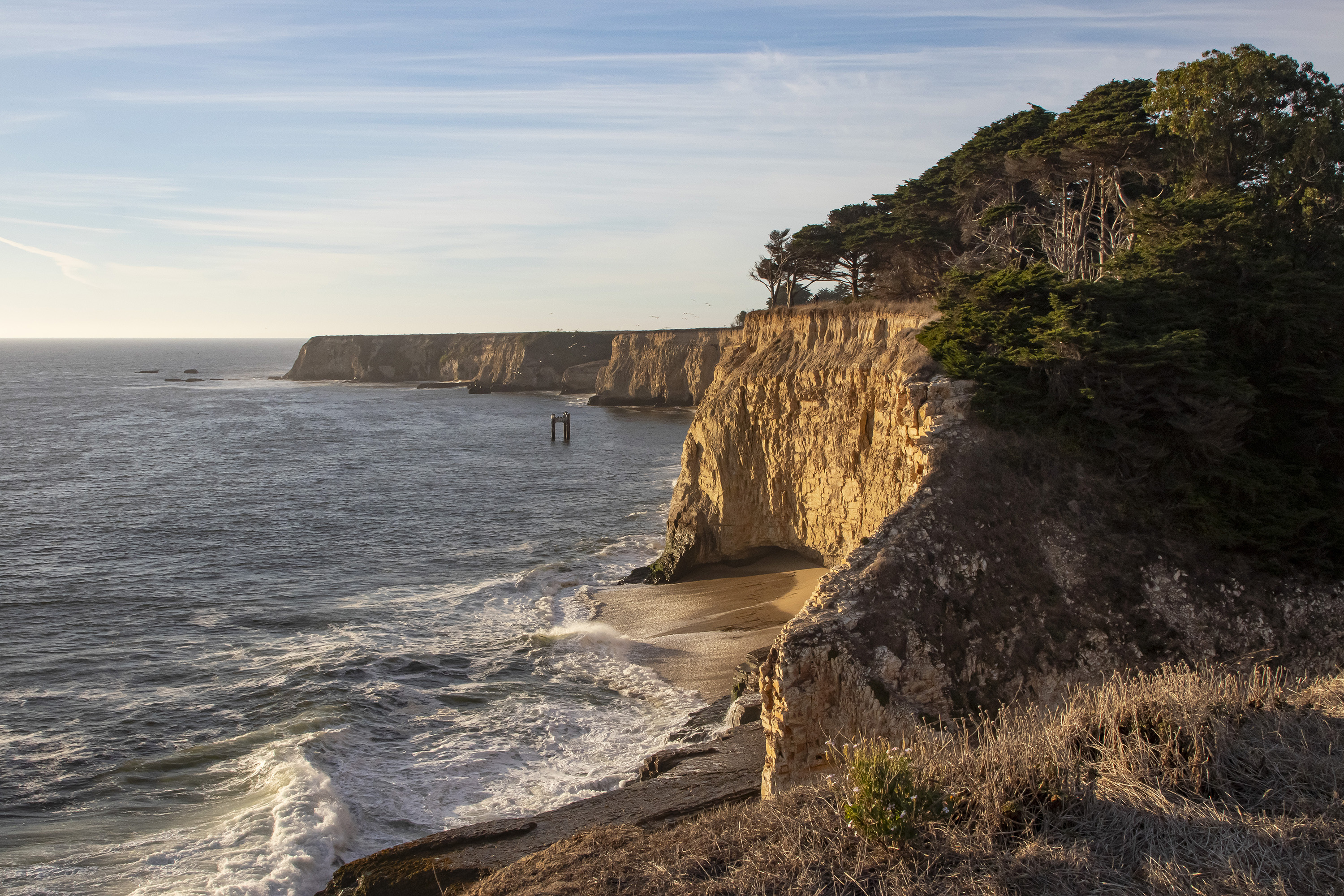
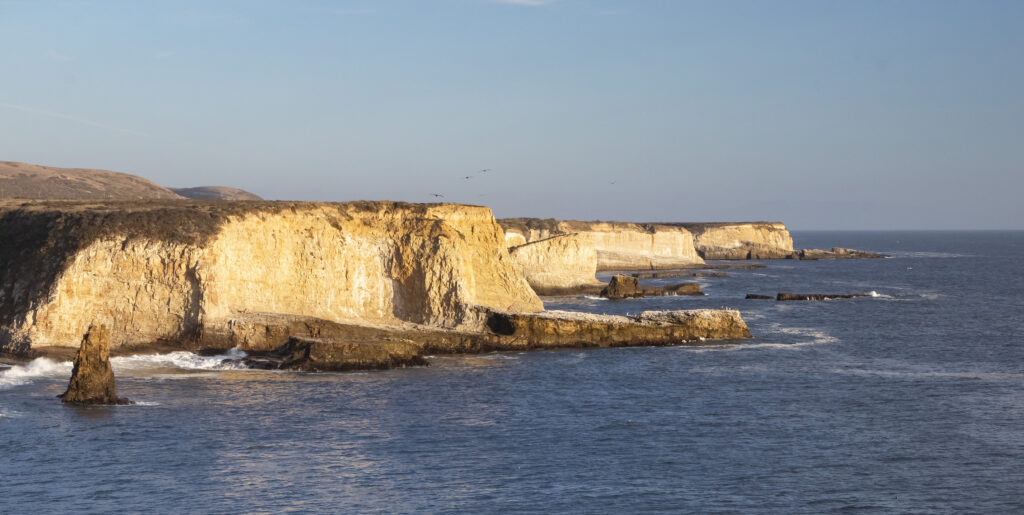
We turned around just before Big Sur, as it was getting late, and returned on Route 1, stopping at Davenport Bluffs.
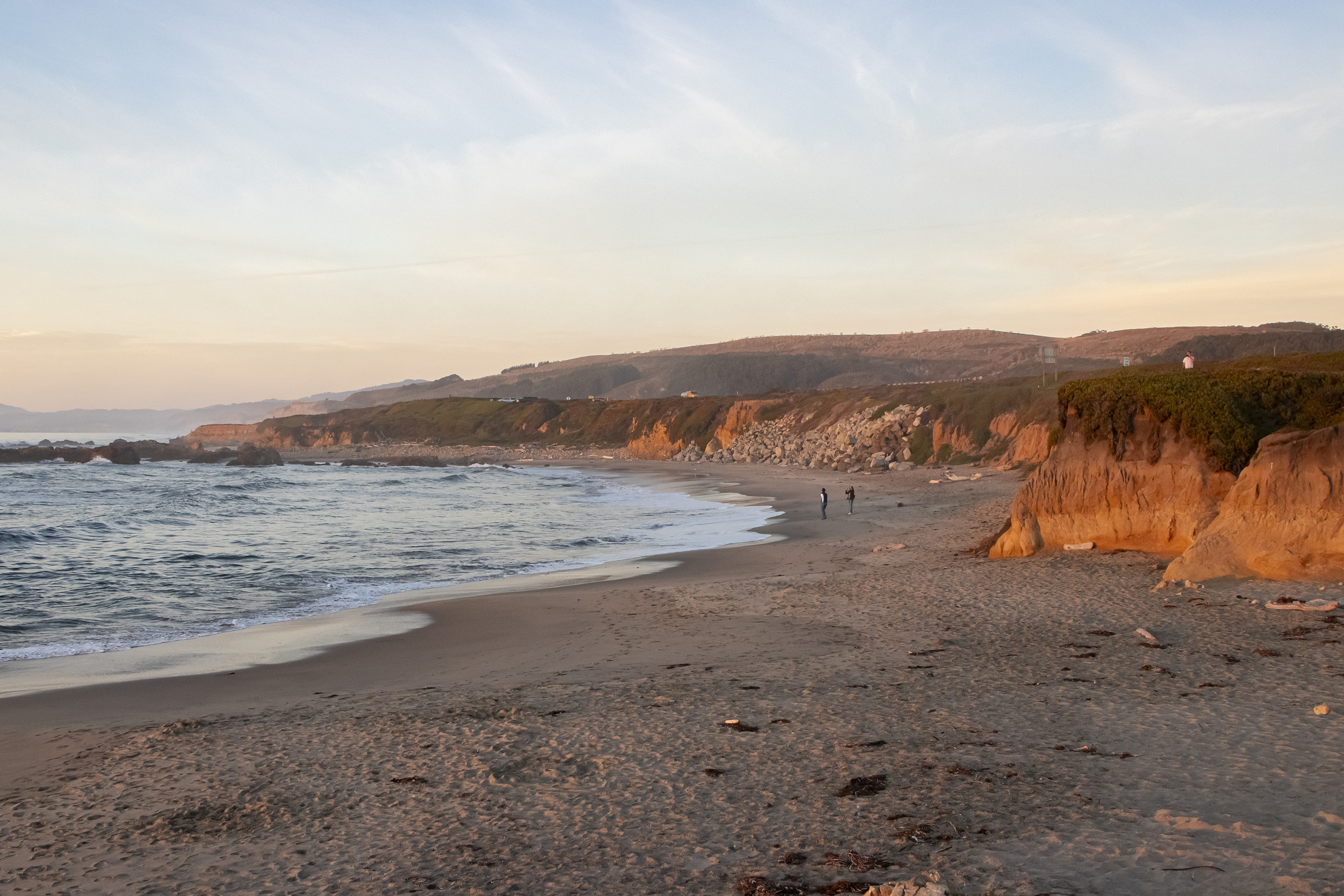
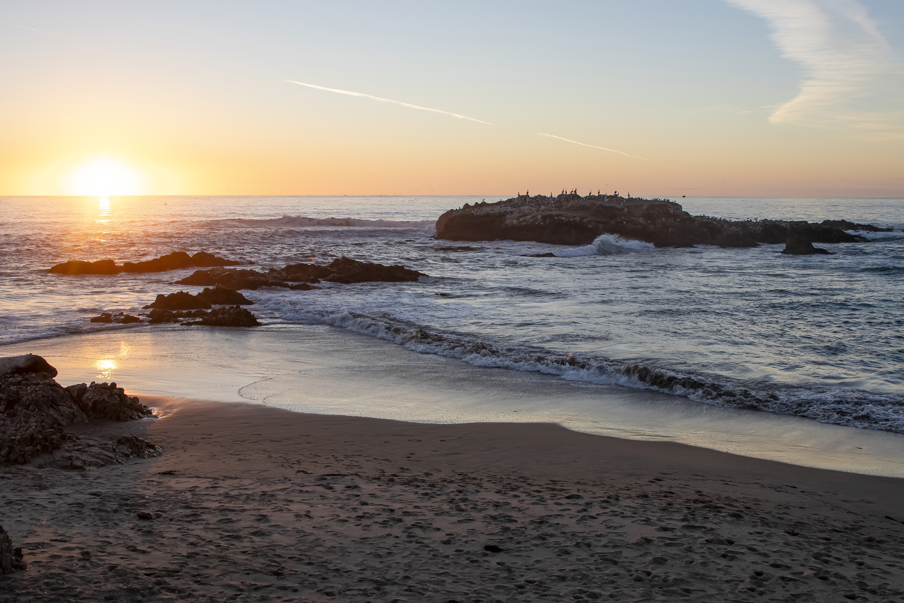
Our last stop before dinner was along a beach to watch sunset.
Day 2 (October 12) – Marin
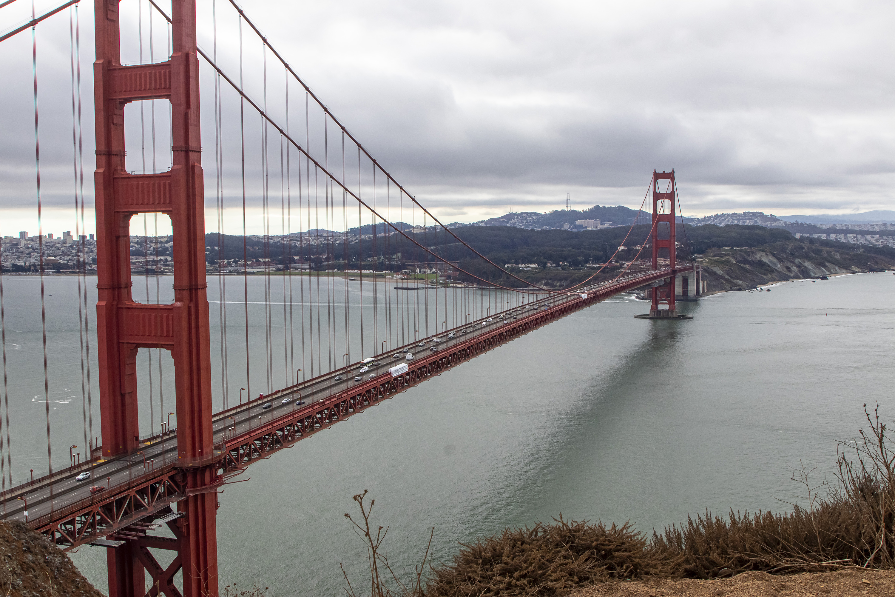
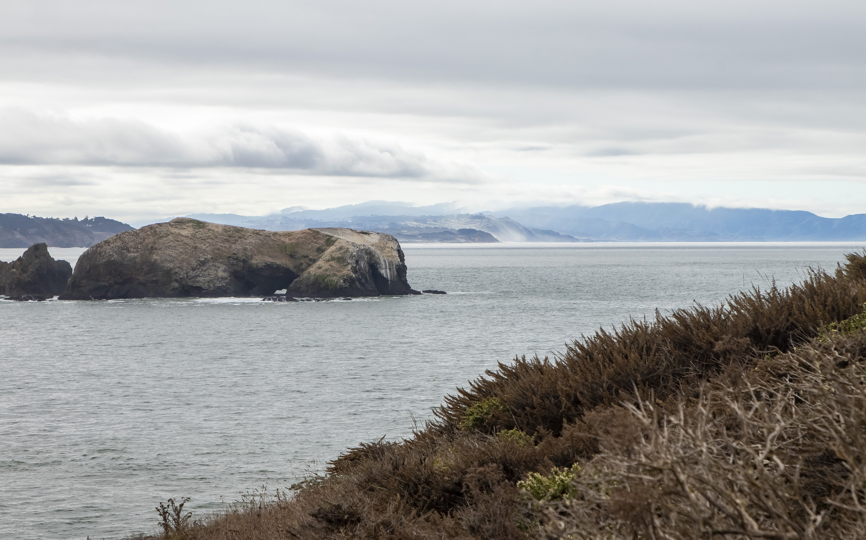
We joined our friends on a Saturday in the Marin Headlands, starting with overlooks of the Golden Gate Bridge and the Bay.
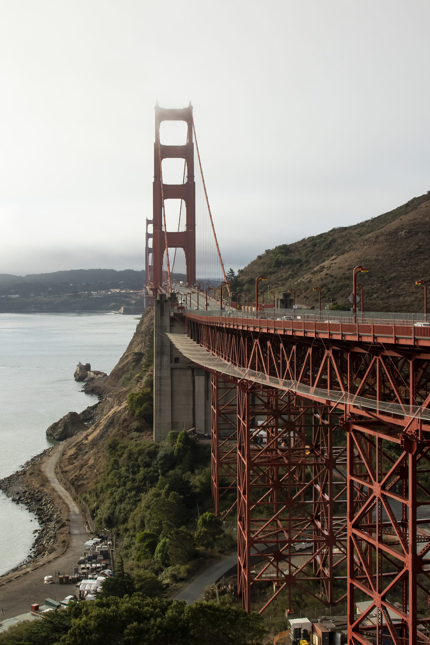
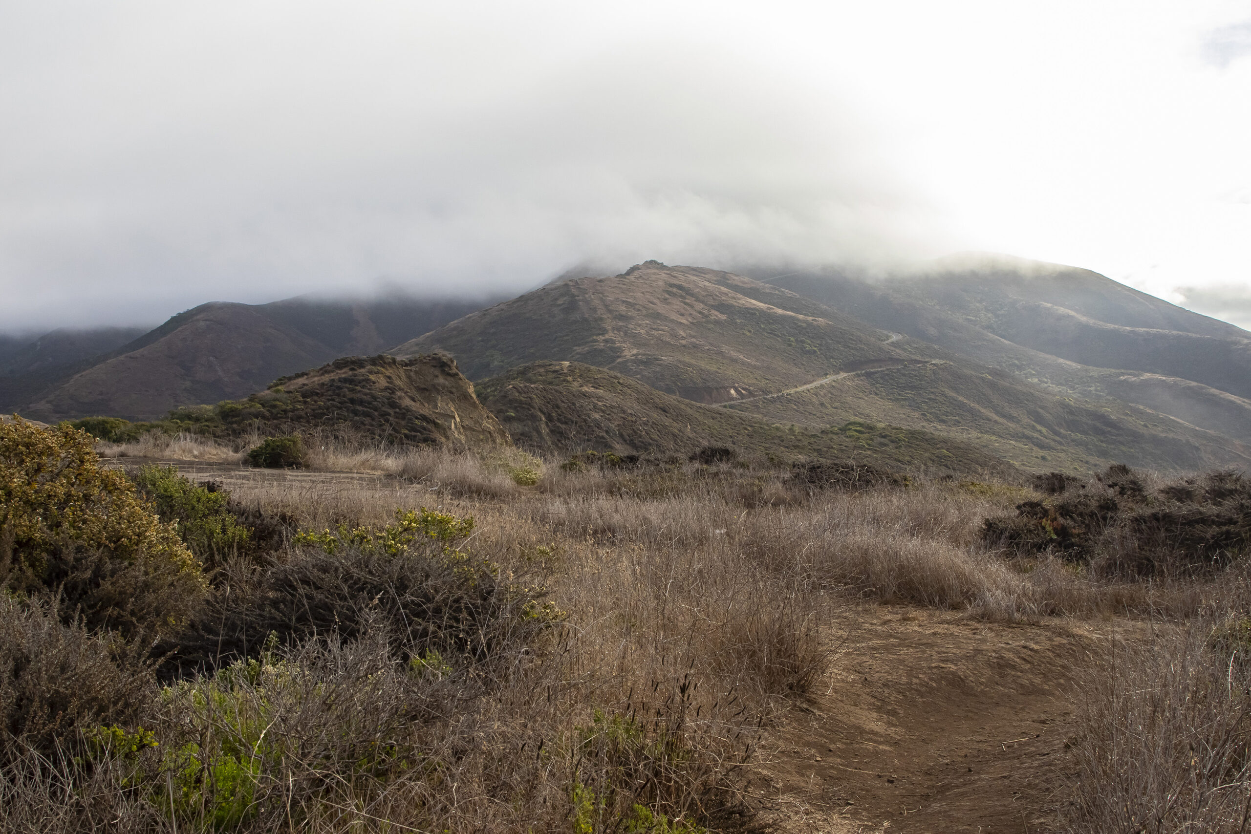
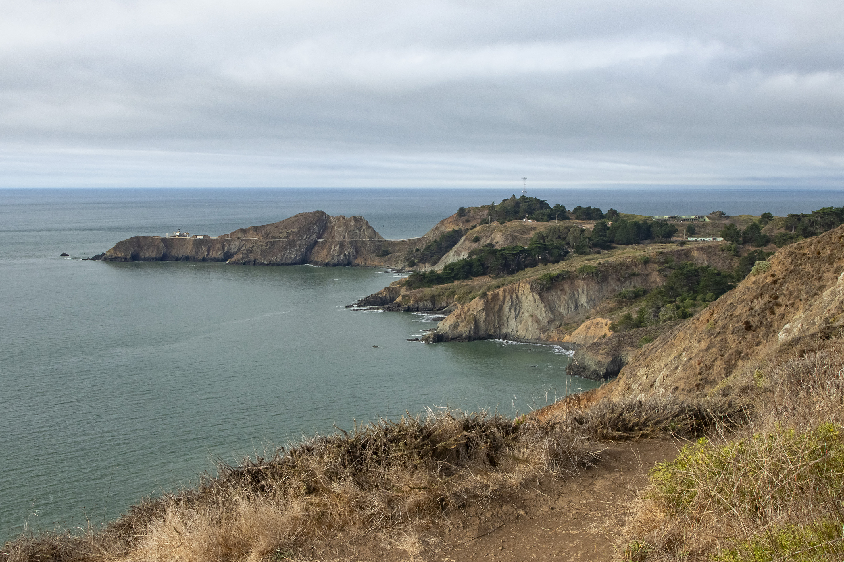
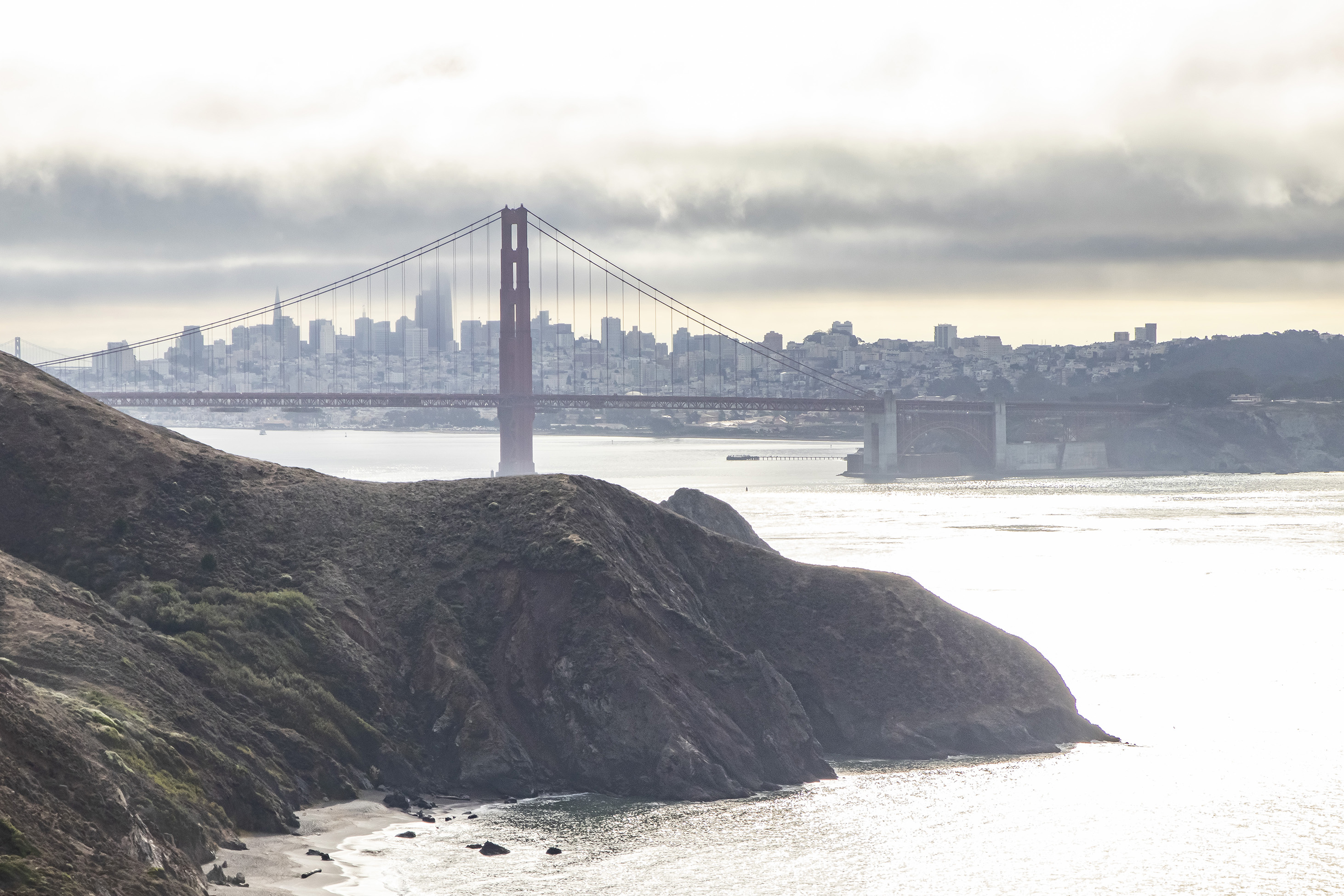
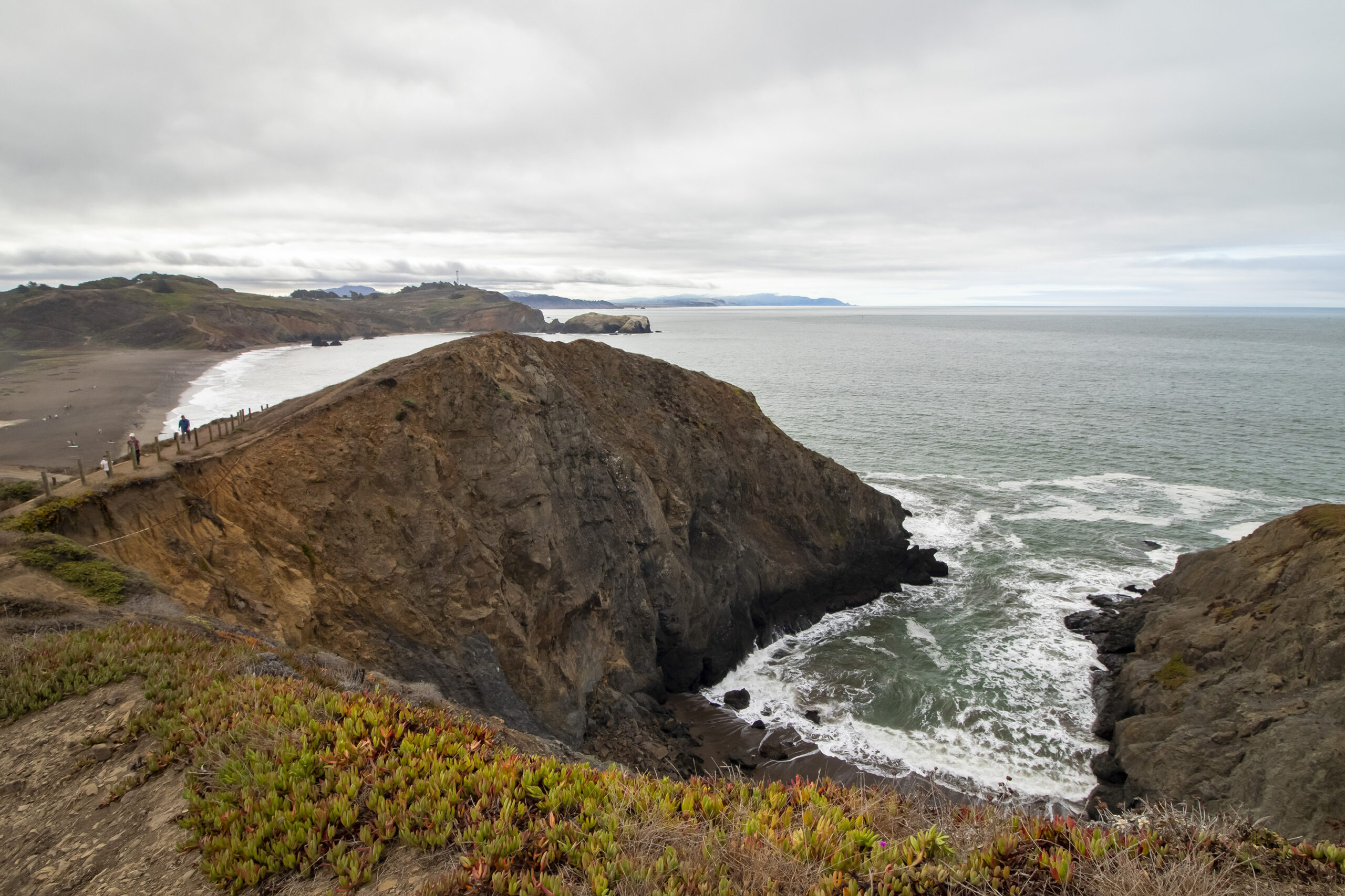
We continued to Rodeo Beach and walked up a short path up a hill overlooking the beach and the bay.
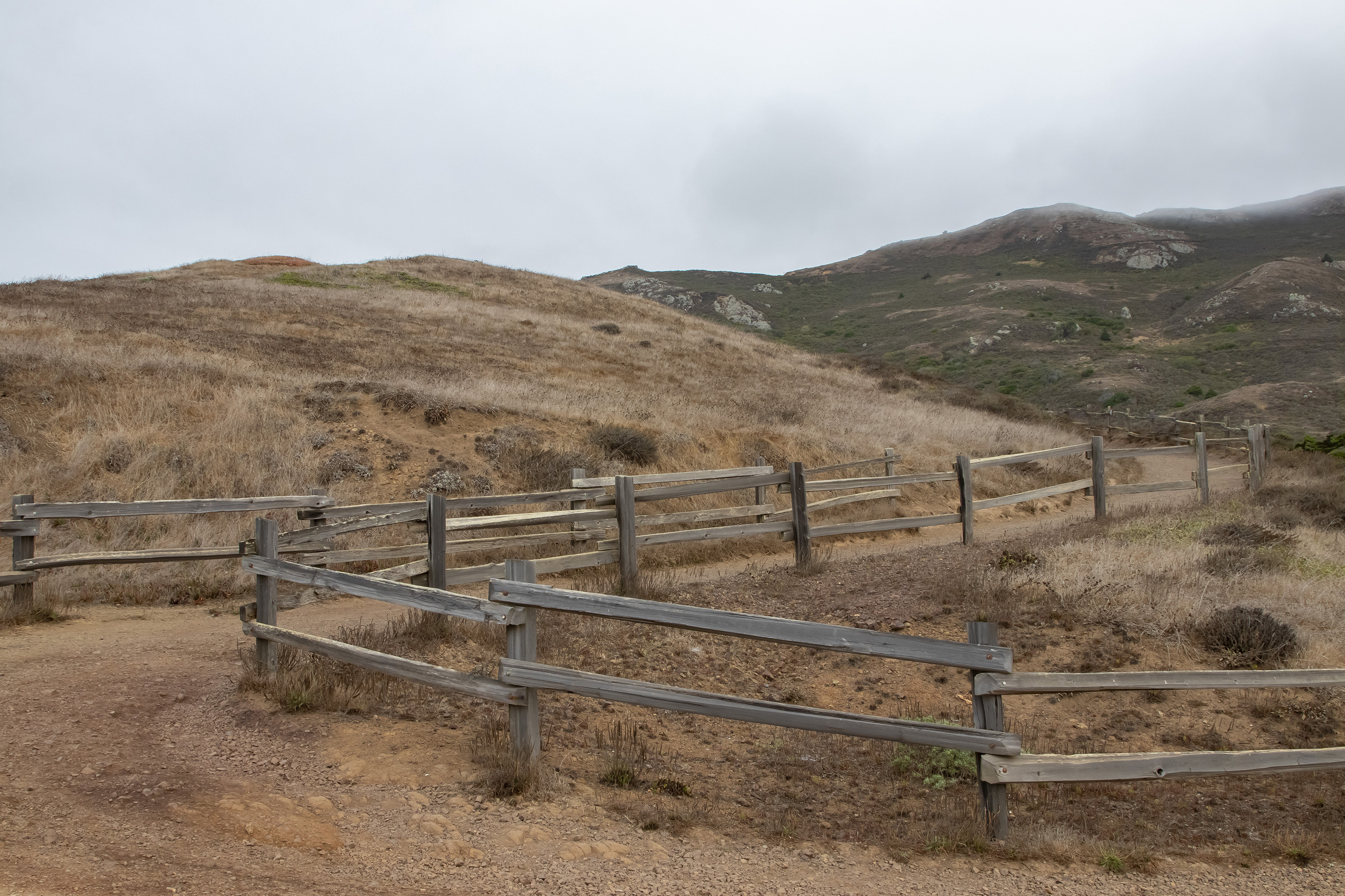
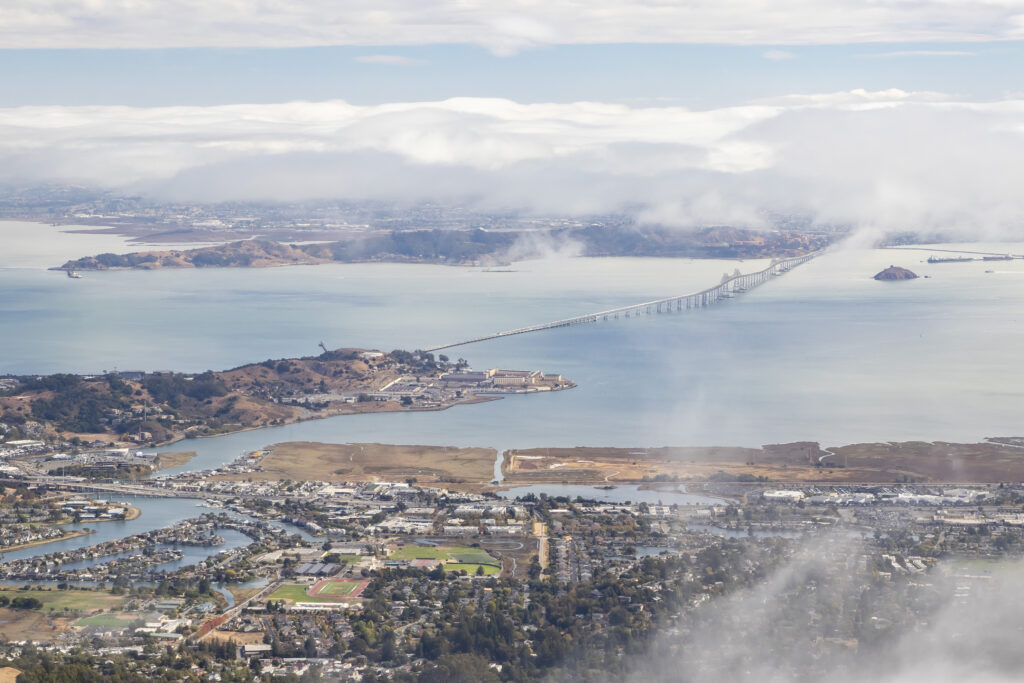
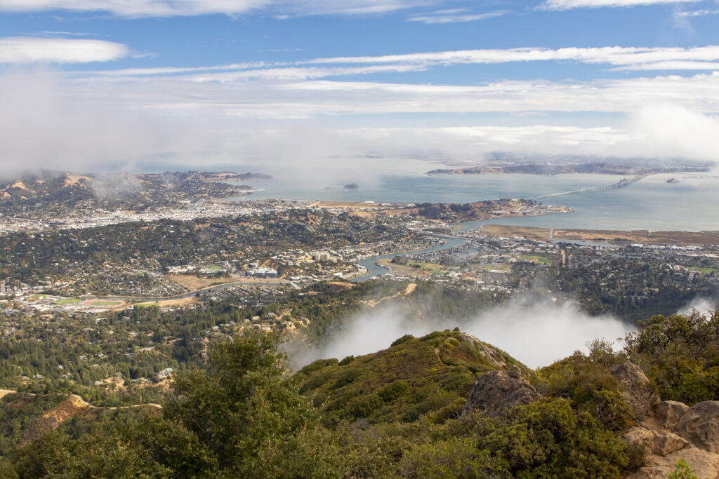
Then we drove up Mount Tamalpais and hiked a short trail to the observatory at 2,571 feet of elevation, one of the highest points in the San Francisco area.
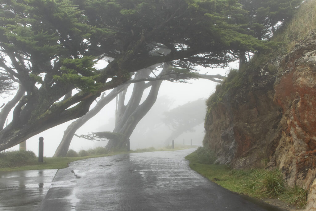
After lunch, we decided to drive to the Point Reyes Lighthouse. We’d been there on our previous trip to the area in 2014, and it was one of our favorite places. Unfortunately, but not surprisingly, it was a foggy day, and we couldn’t catch a view of the coast (or even see the lighthouse).
Day 3 (October 13) – Sonoma
We joined our friends again for a daytrip to Sonoma. We’d visited Napa on our previous trip and wanted to see California’s second most famous wine region.
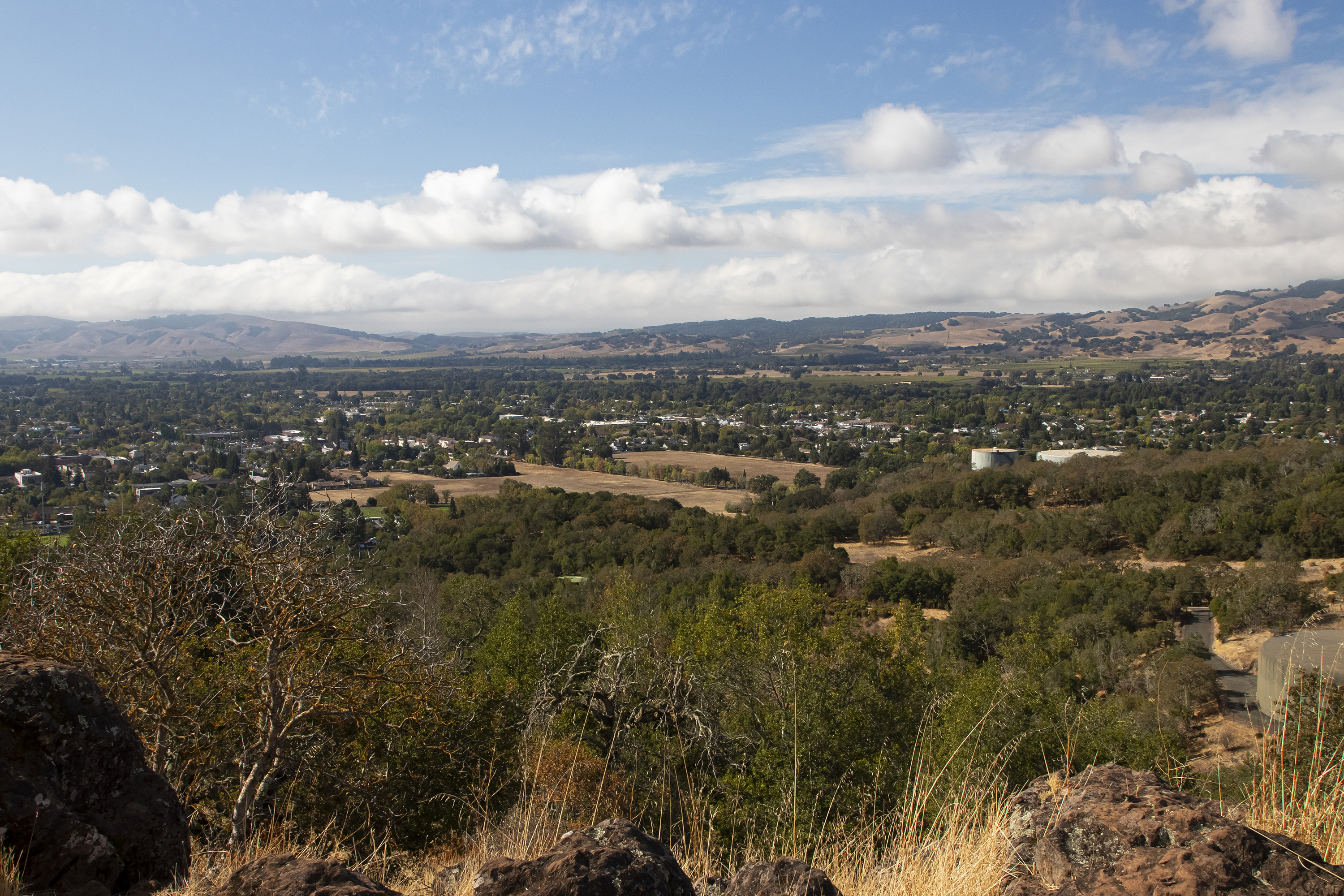
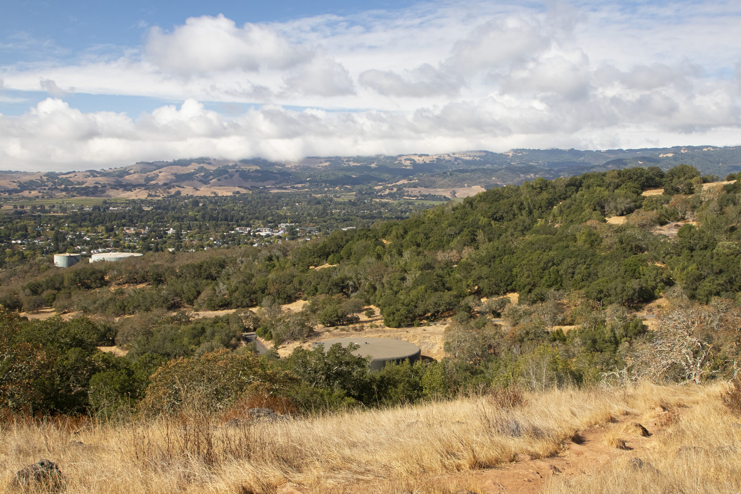
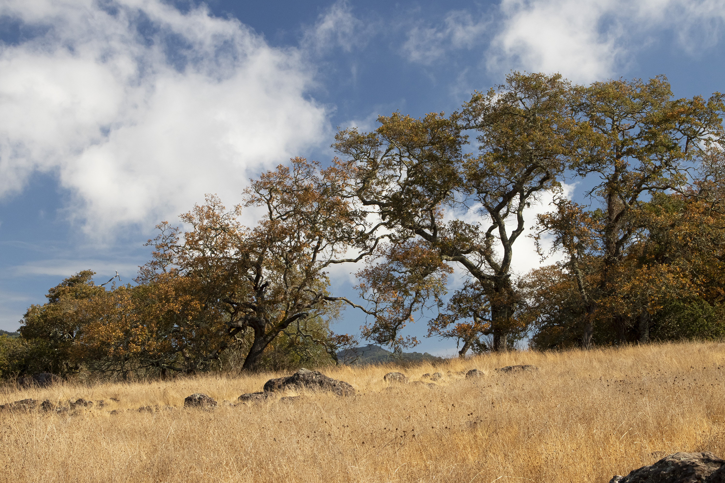
We started the morning, however, with one of Sonoma’s many hiking trails.
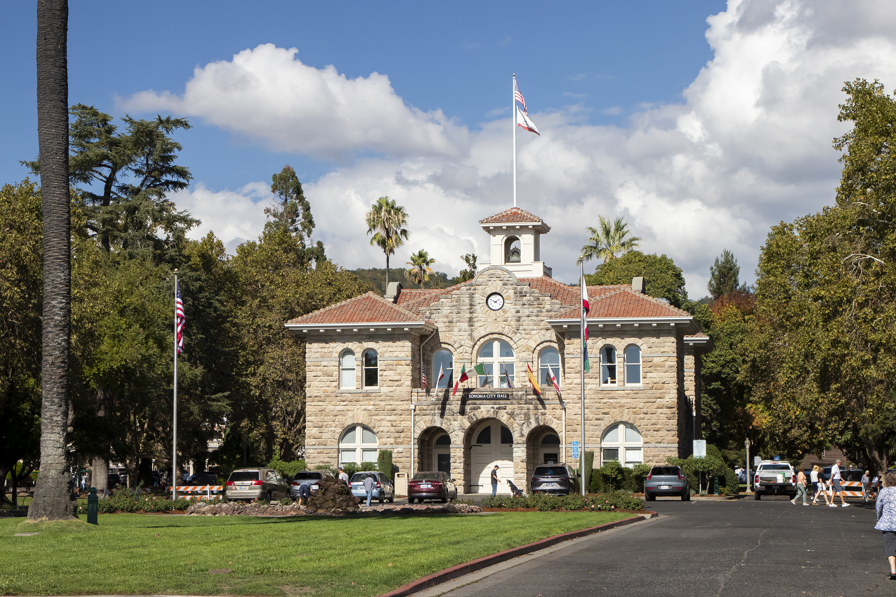
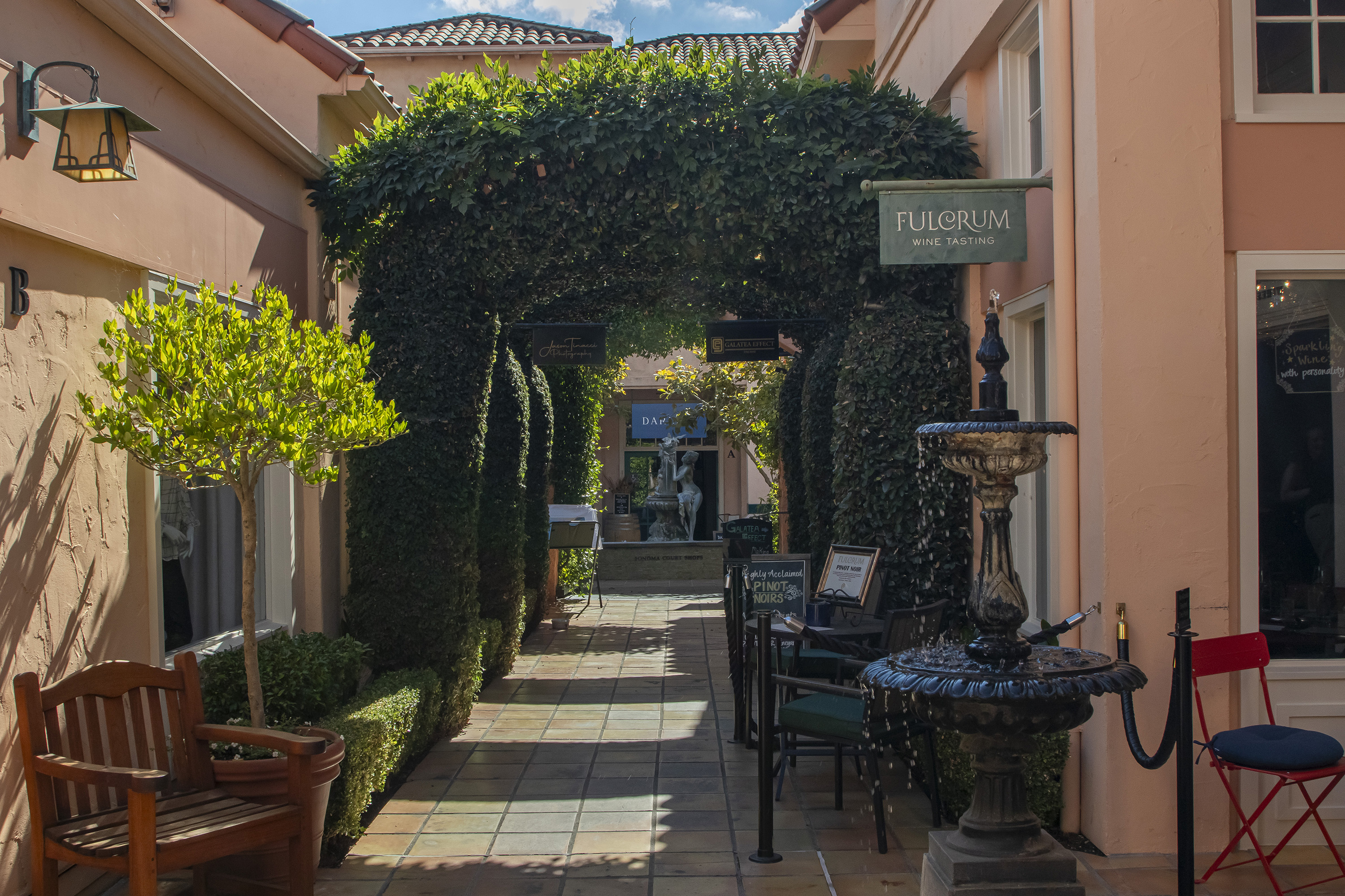
And, of course, no trip to Sonoma would be complete without a wine tasting. We had to be back early in the afternoon, so we chose to visit a tasting room in the City of Sonoma.
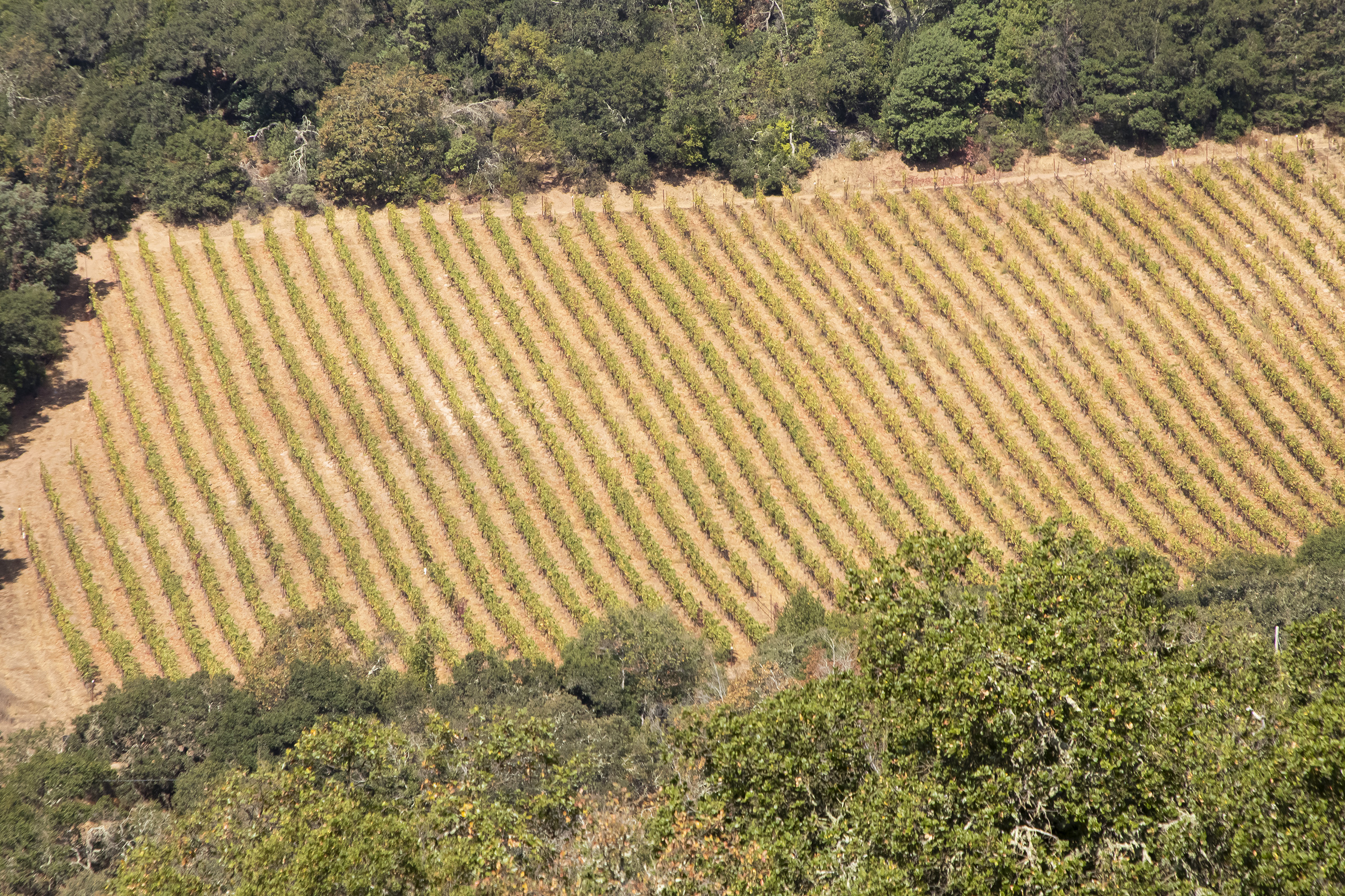
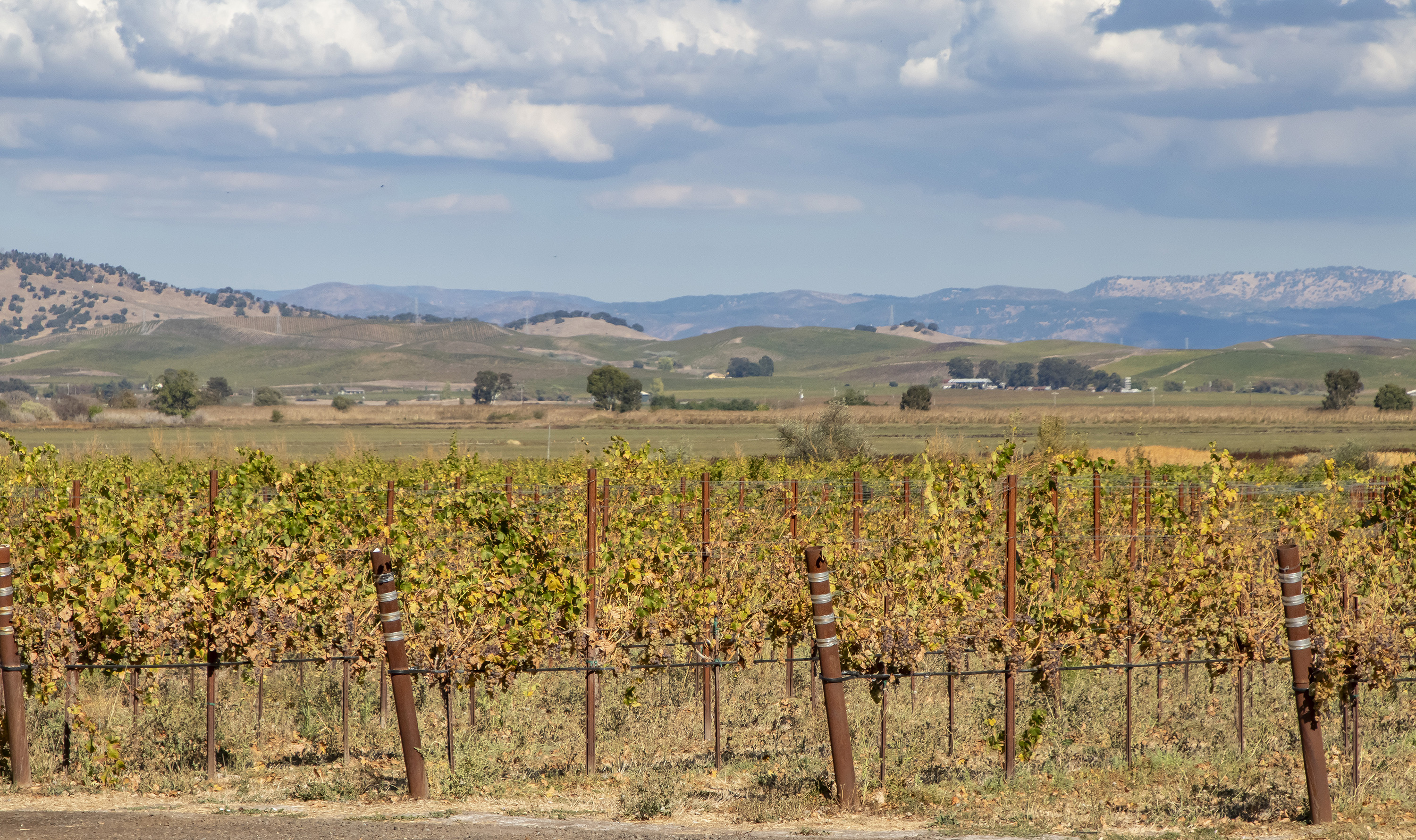
We also enjoyed seeing the vineyards along the highways throughout the region.
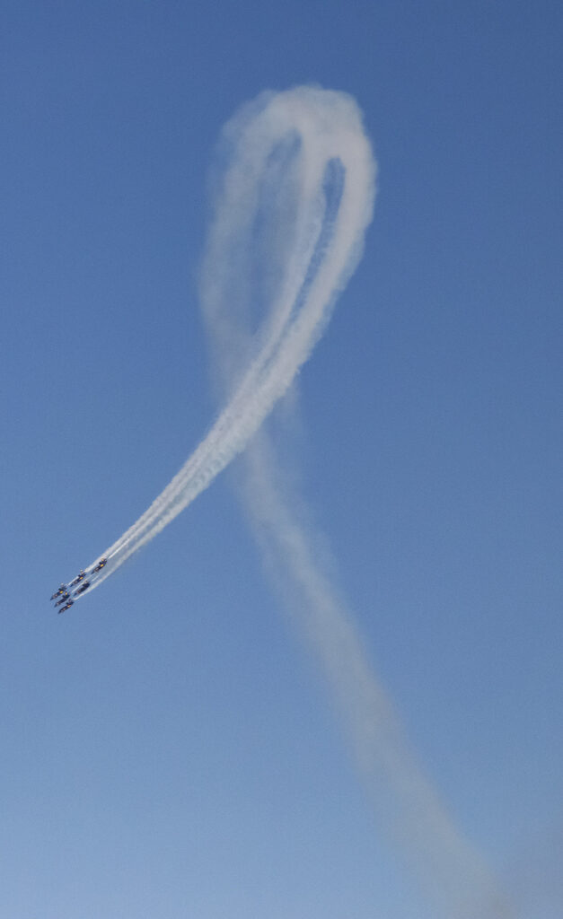
It was Fleet Week in San Francisco, and the Blue Angels had been scheduled to perform on Saturday. The initial fly-over was postponed to Sunday due to the fog the day before, and we caught the performance while driving over the Golden Gate Bridge.
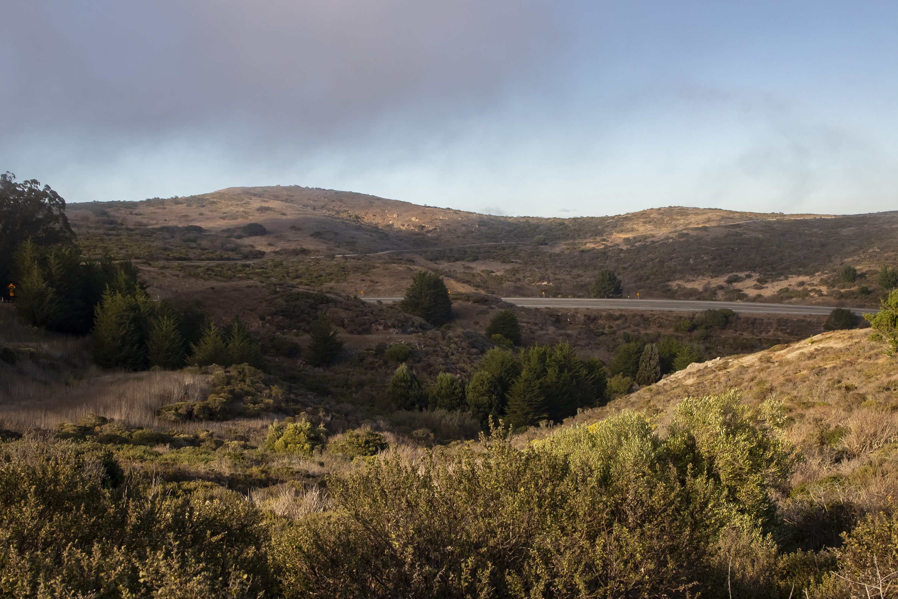
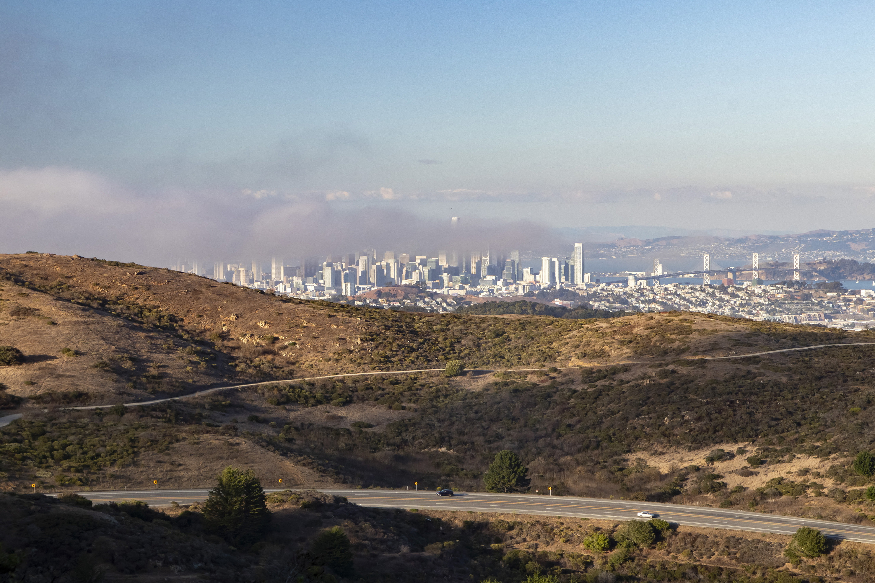
After returning to our friends’ home, we went out again to San Bruno Mountain park. We made it about halfway to the summit before having to turn around and return to the car before the park closed.
Day 4 (October 14) – Drive to Fresno
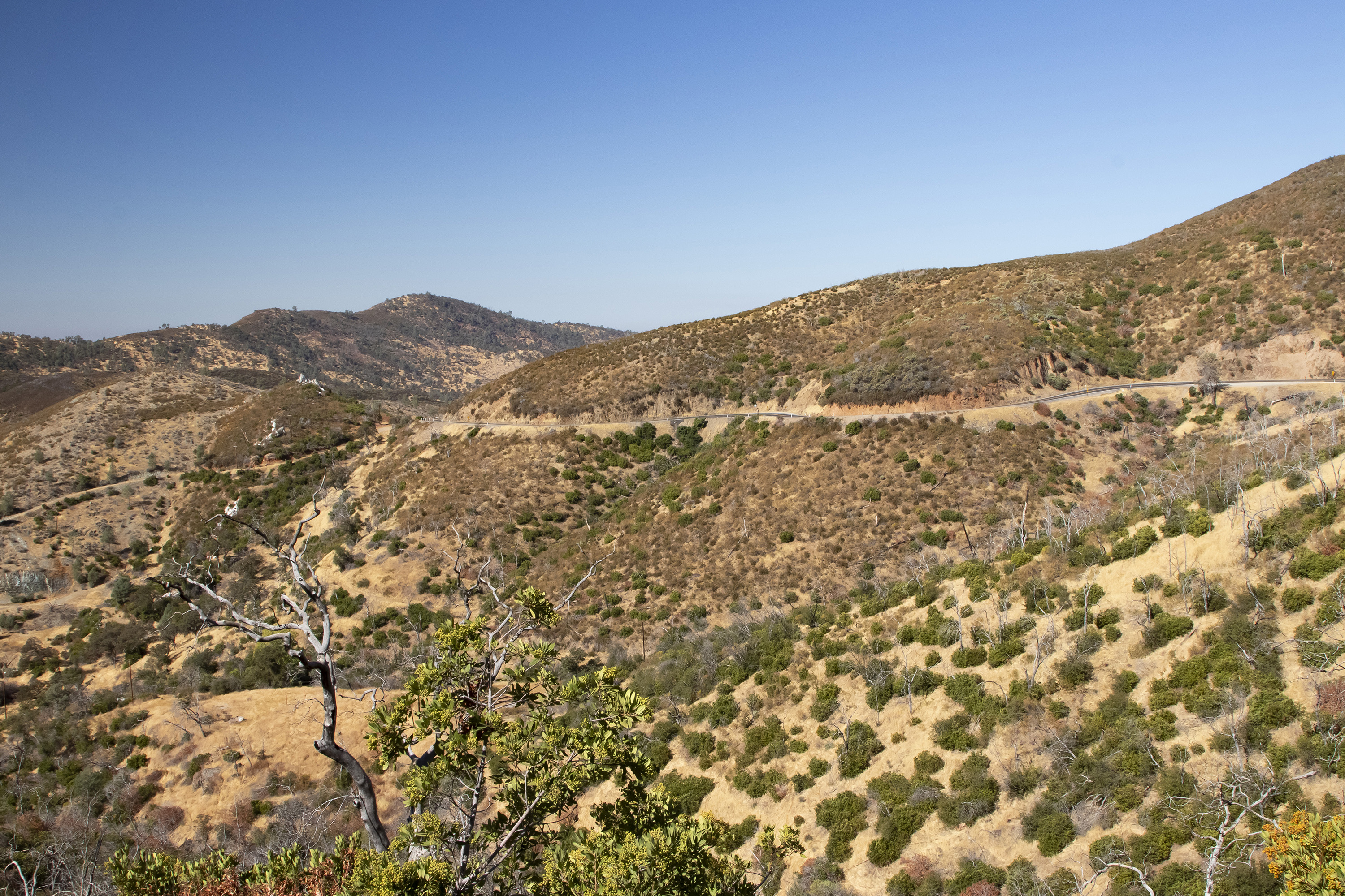
We left Daly City for two nights in Fresno so we could see Sequoia and Kings Canyon National Parks. We decided to take the scenic route through the Sierra Foothills rather than the direct route to Fresno, stopping dozens of times along the way to take photos.
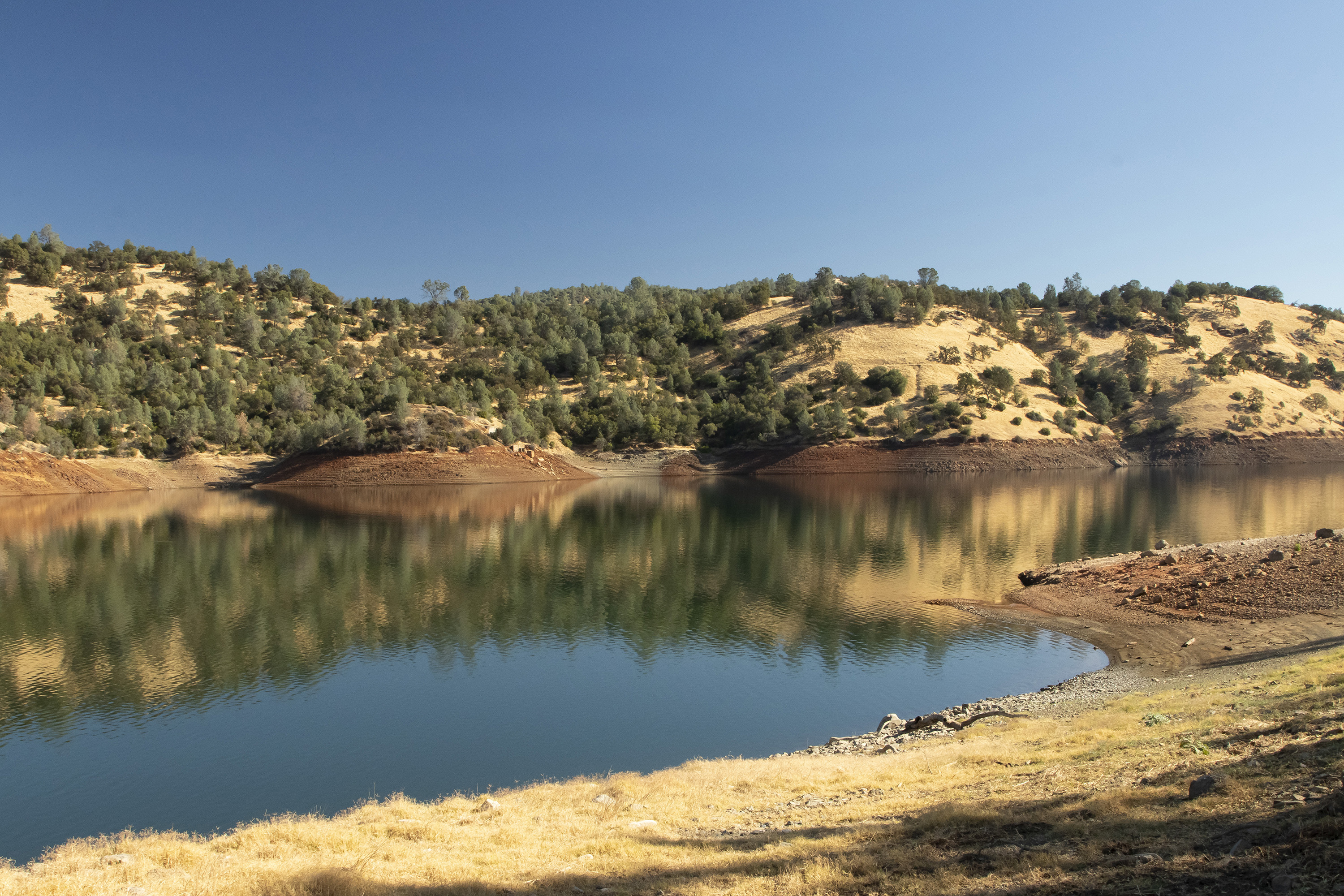
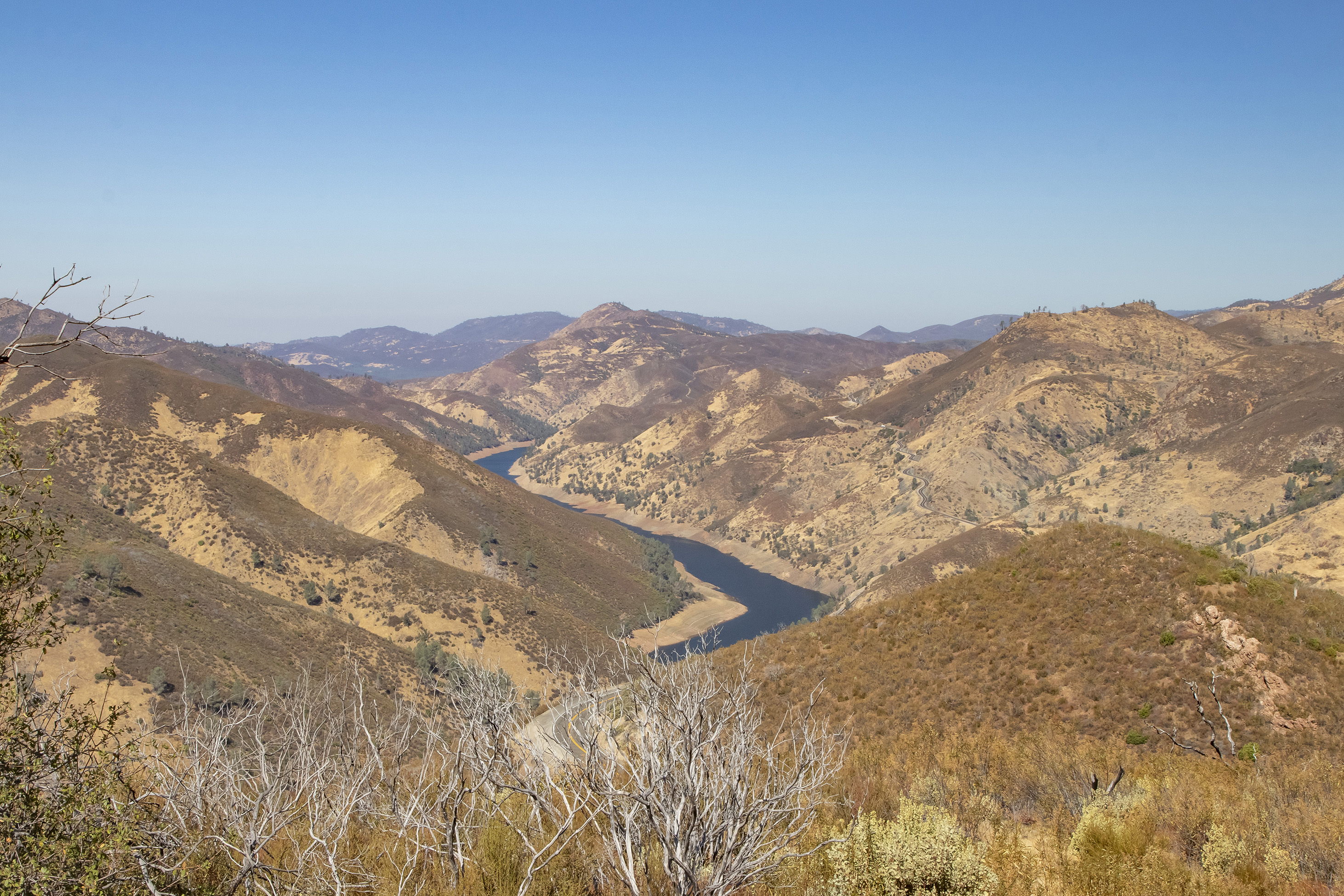
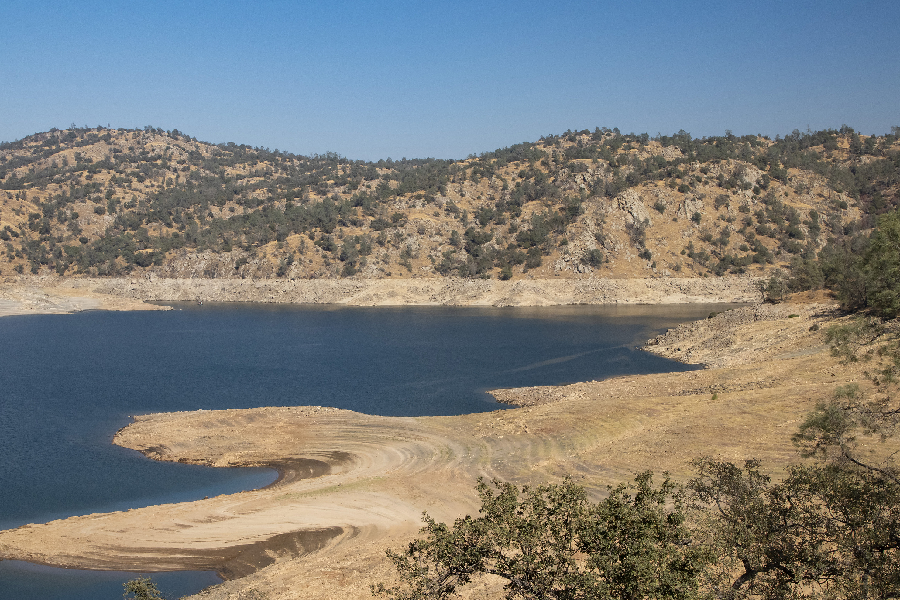
Our last stop before the hotel was Millerton Lake, a reservoir just outside Fresno. In addition to being a residential area, there are lots of hiking trails around the lake. It was in the mid-80s when we arrived there, so we didn’t spend much time walking around. The reservoirs we passed during the day were quite low, though we suspect that’s not abnormal in the fall and that they typically fill up in the spring with snowmelt from the Sierras.
Day 5 (October 15) – Sequoia and Kings Canyon National Parks
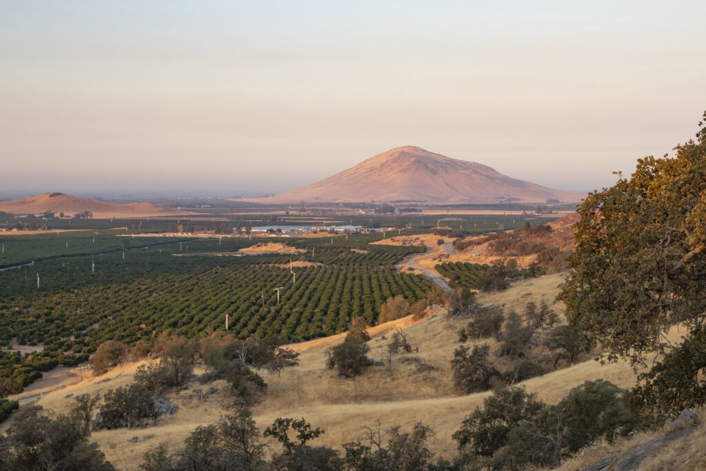
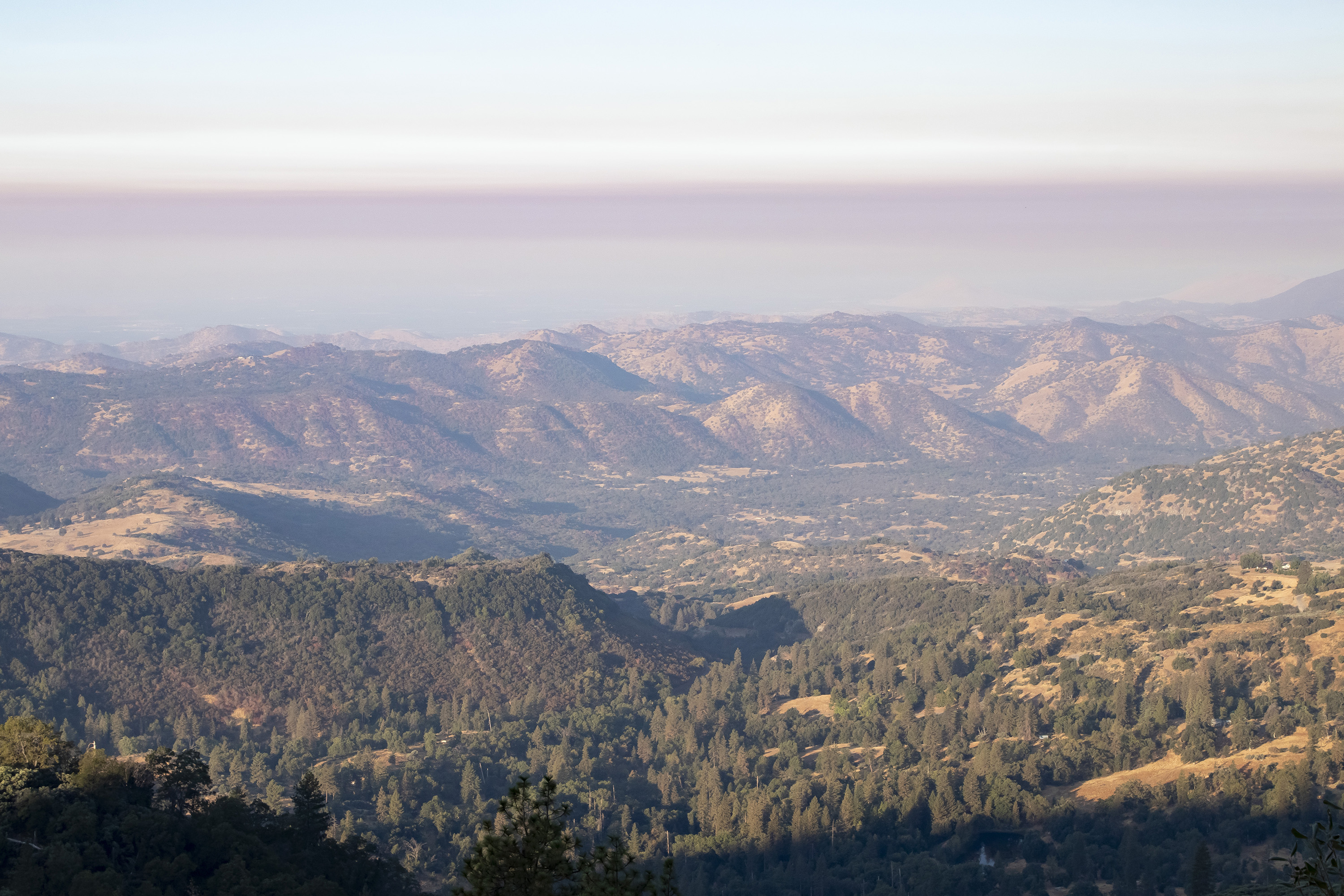
We set out just before sunrise to arrive at the parks in the early morning. The drive started in the Central Valley, passed through the many orchards, then went into the foothills and eventually the Sierras themselves.
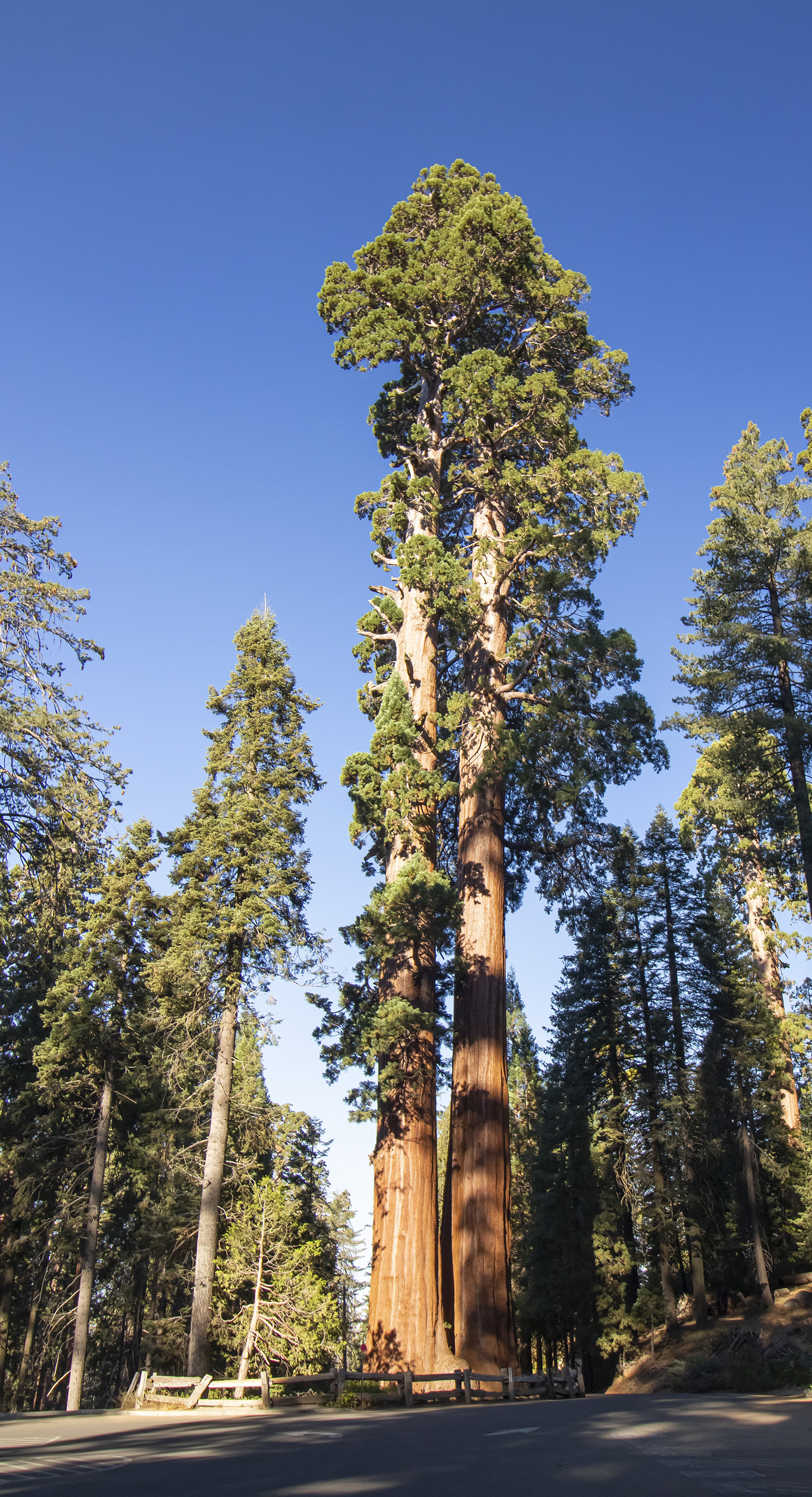
The parks are home to the Giant Sequoias, which grow in groves throughout the area. They’re unlike any tree I’ve ever seen and attract visitors from around the world. The most famous are named General Grant and General Sherman. General Sherman is the largest known tree on earth by volume.
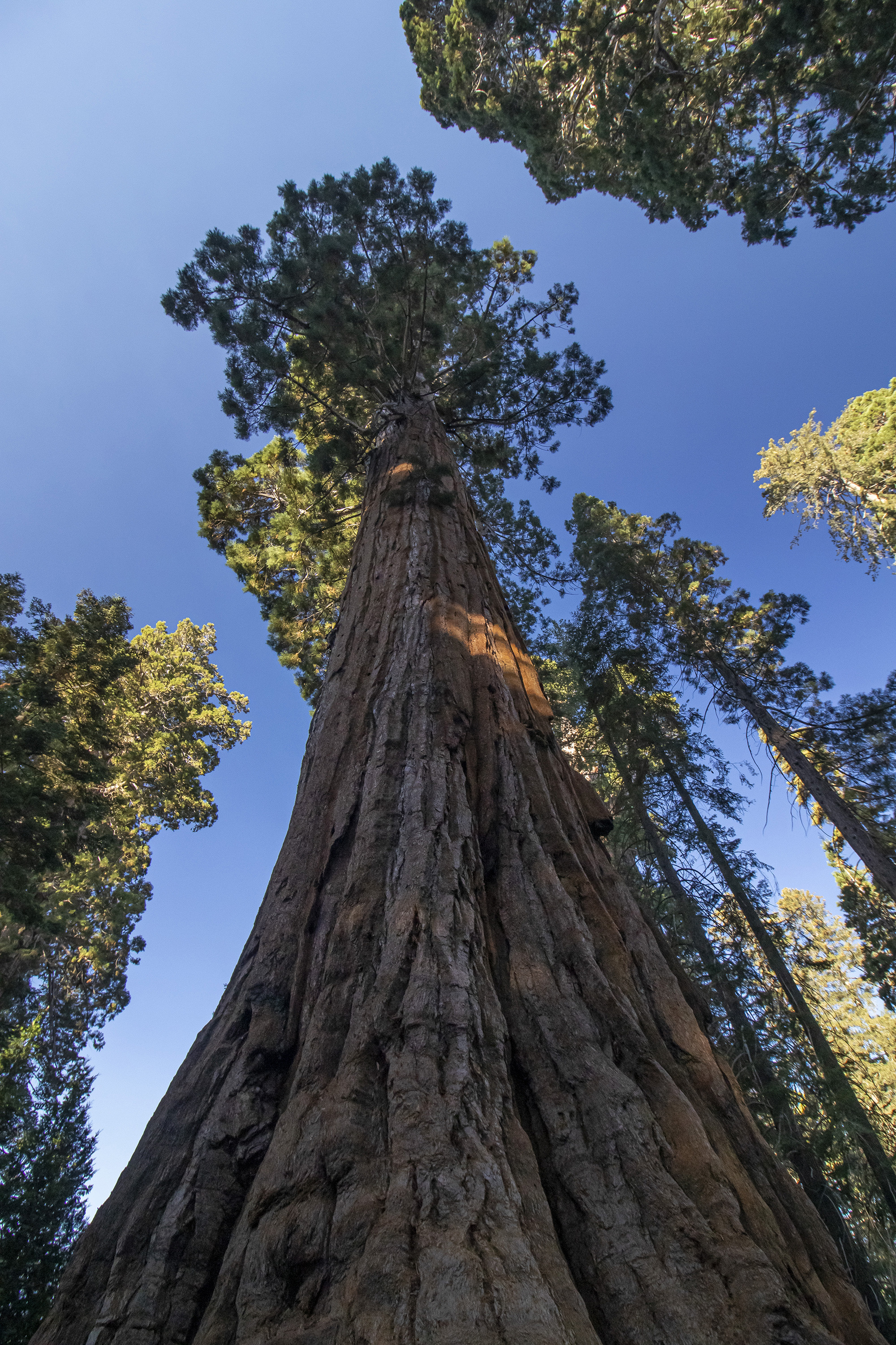
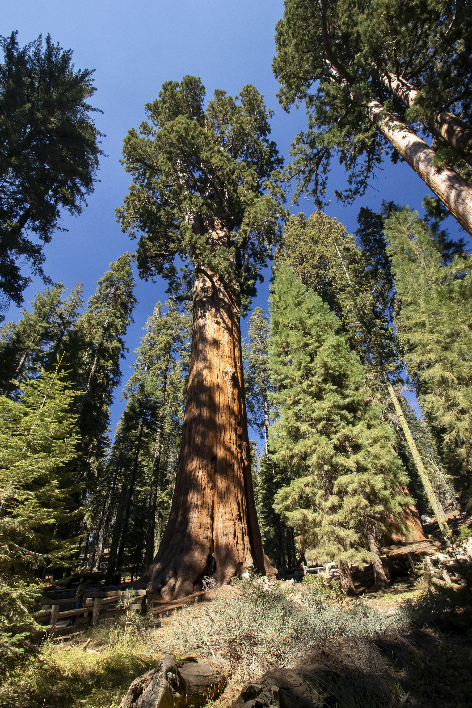
We drove north through Giant Sequoia National Monument, a stretch of mountainous land between the Kings Canyon park entrance and the larger part of the park. The area was affected by the 5,000+ acre Happy Fire, which was ignited by lightning in July and remained only 60% contained. Due to the air conditions, we turned around at Junction View and continued to the southern areas, including Sequoia National Park.
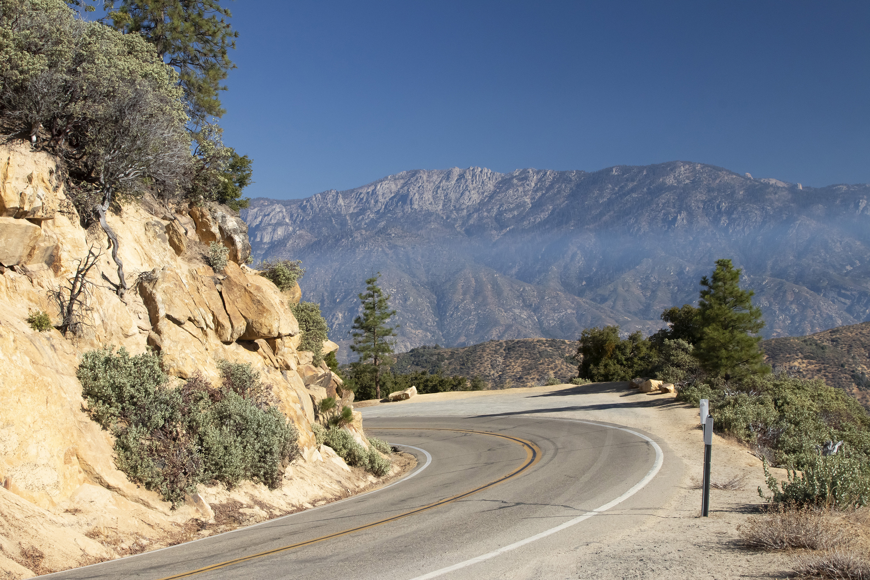
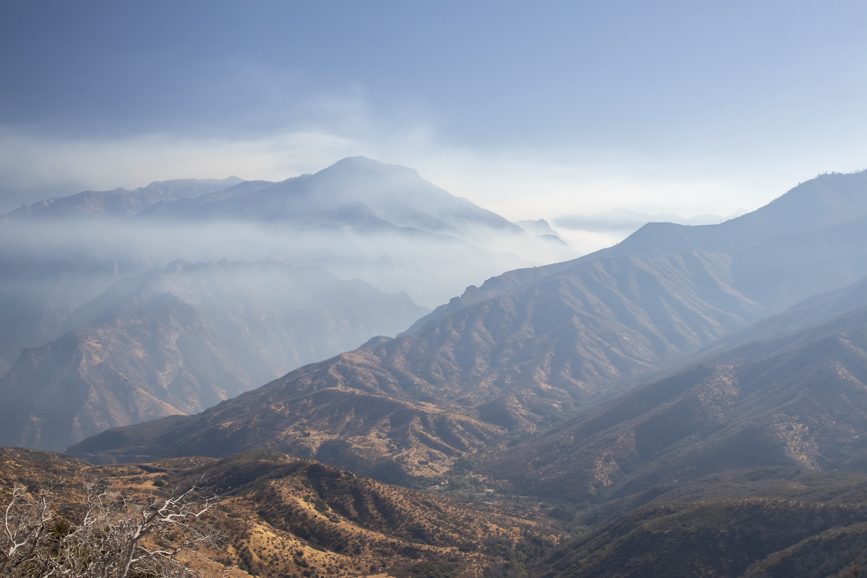
Safe from the smoky air, we hiked to Buena Vista Point, a short 2 mile out-and-back trail to a 360-degree view of the Sierras. Kings Canyon and Sequoia are less popular than their neighbor to the north, Yosemite, and in off-season, even more so. We had no trouble getting around, finding parking, or navigating through crowds of people.
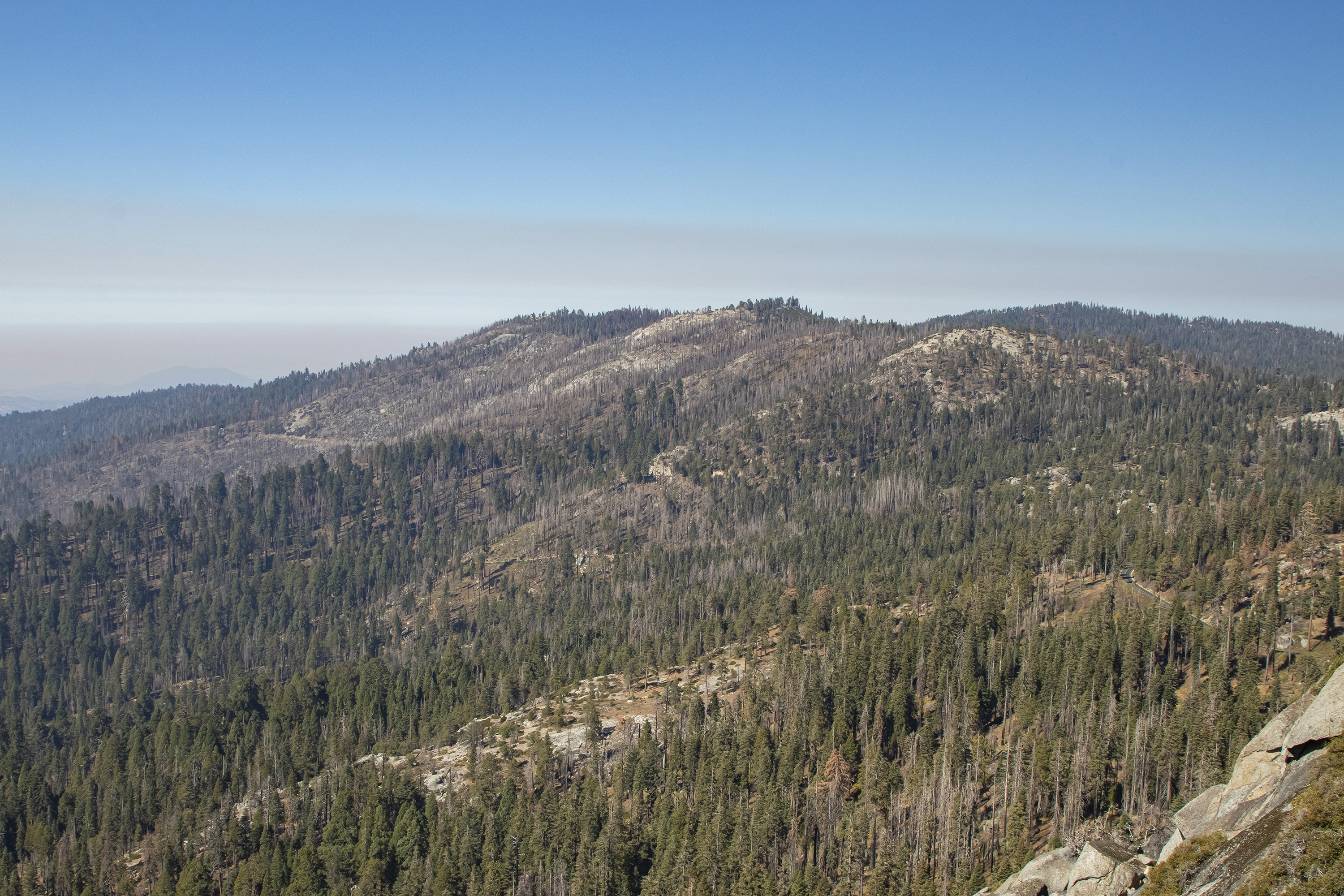
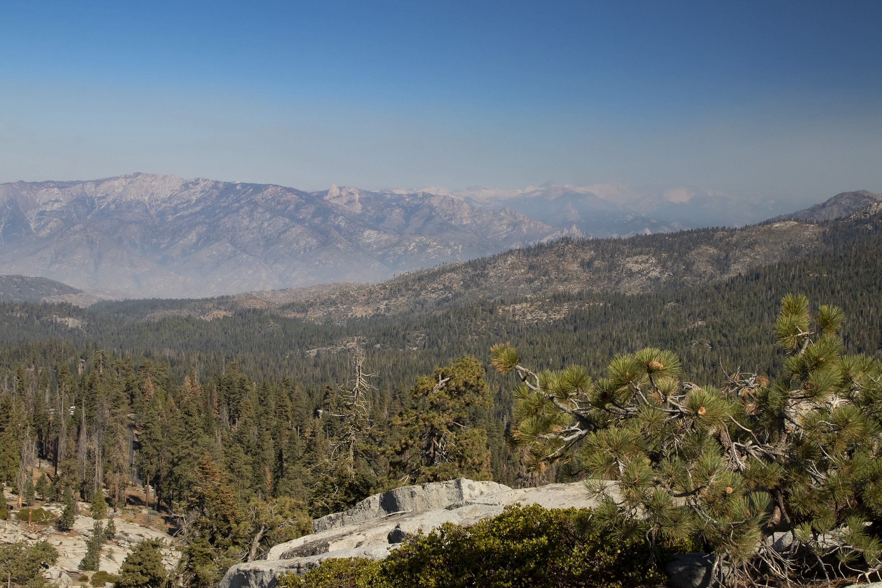
We continued through Sequoia, stopping to take photos and to climb Moro Rock. The trail to the top of the granite dome consists of over 350 steps, most carved into the rock itself. There are railings, and, by and large, the hike felt quite safe.
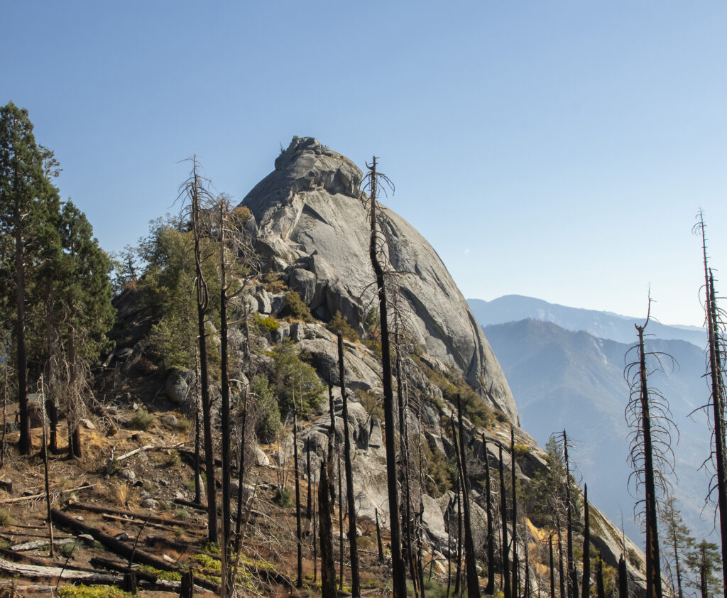
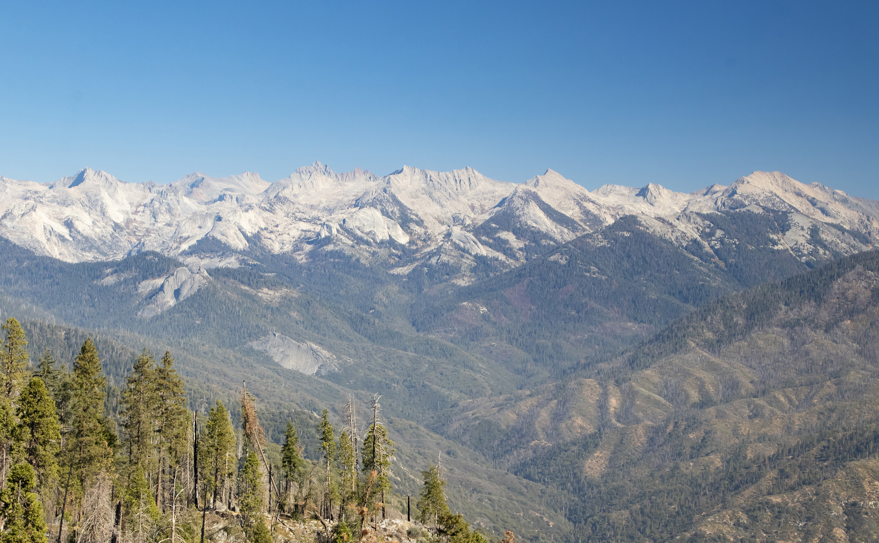
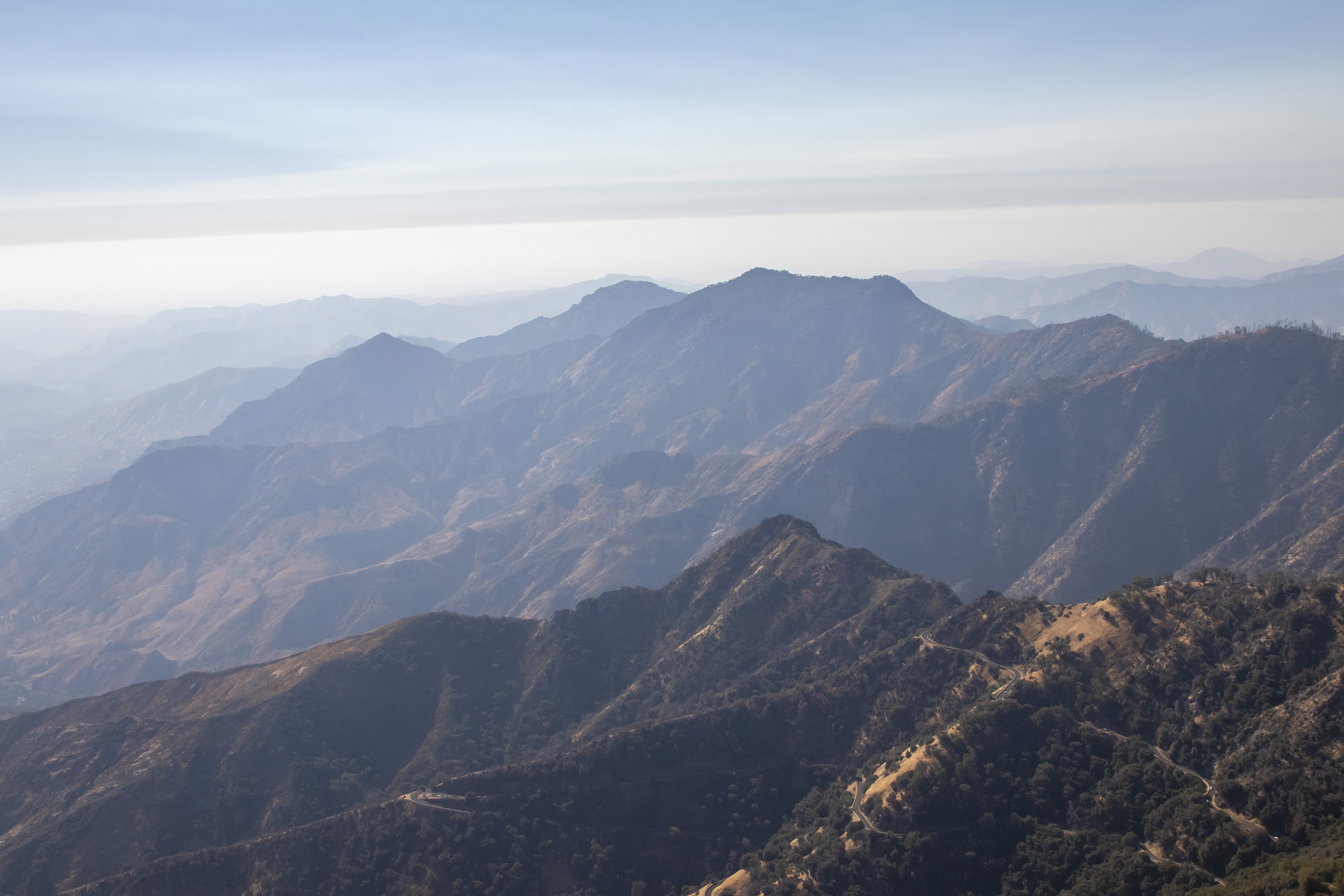
From Moro Rock, we started our descent out of the park along a windy road of hairpin turns. I get carsick easily and had to do the drive, which was relaxing compared to what we’d done the previous year on the Road to Hana.
Day 6 (October 16) – Return to Daly City
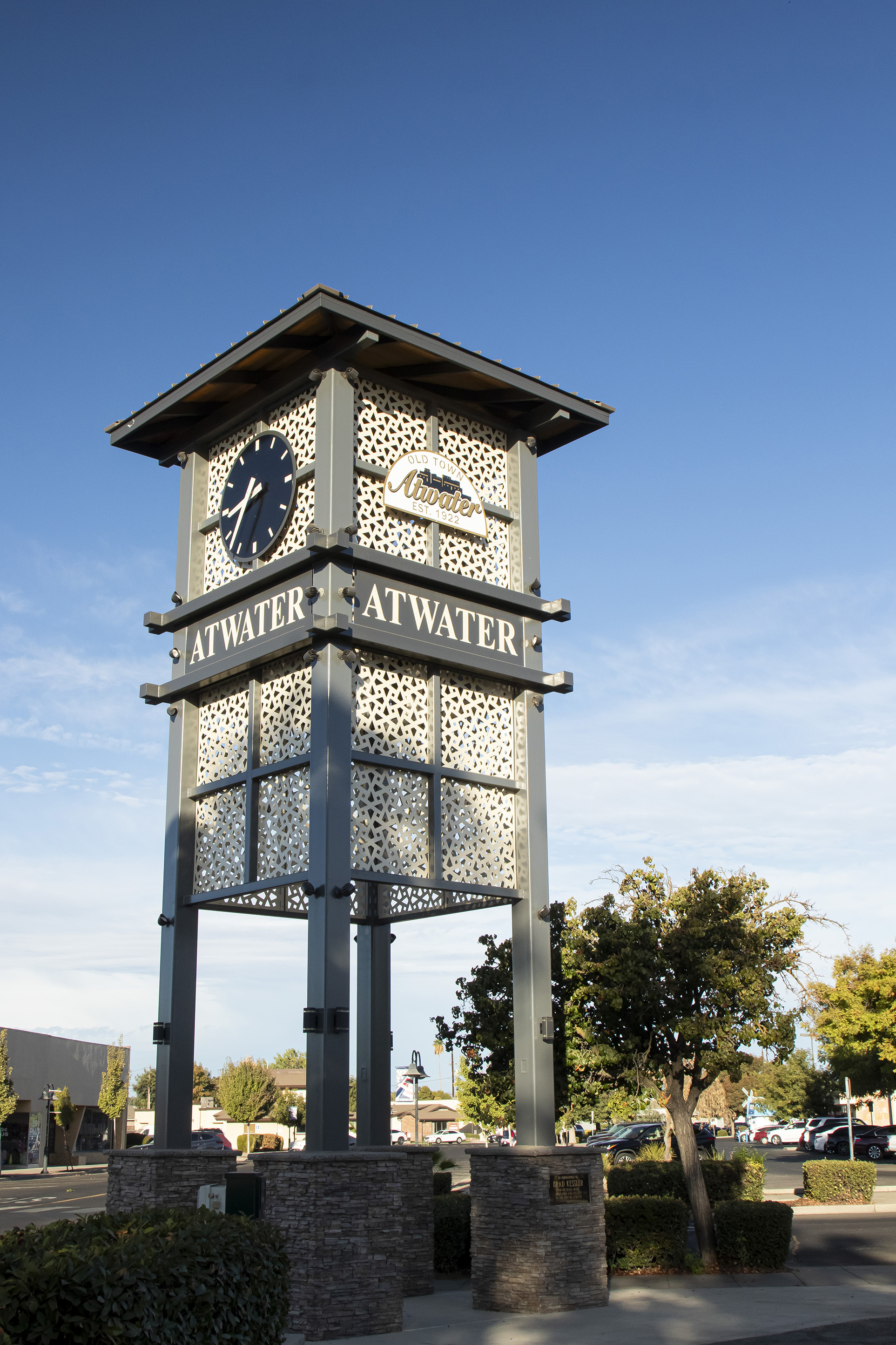
We took the direct route back, stopping in Atwater, California. It’s fun to see your name all over the town.
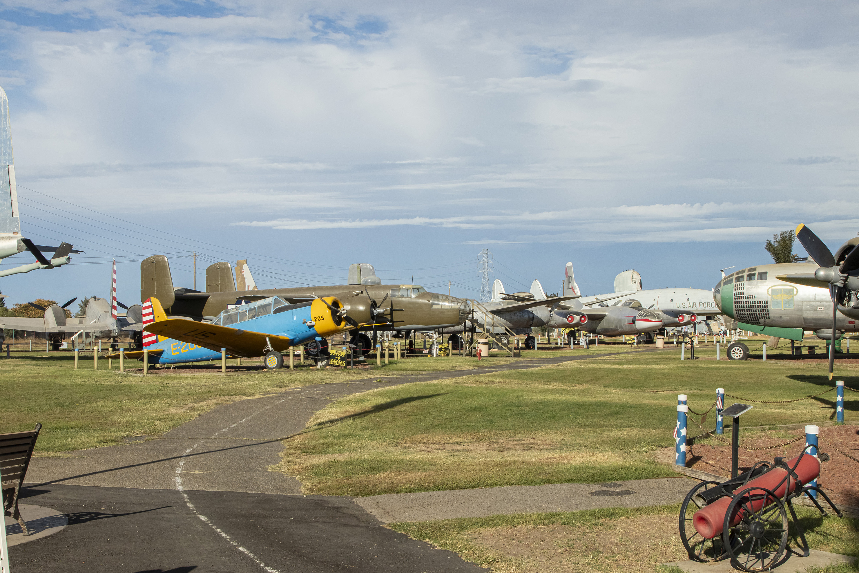
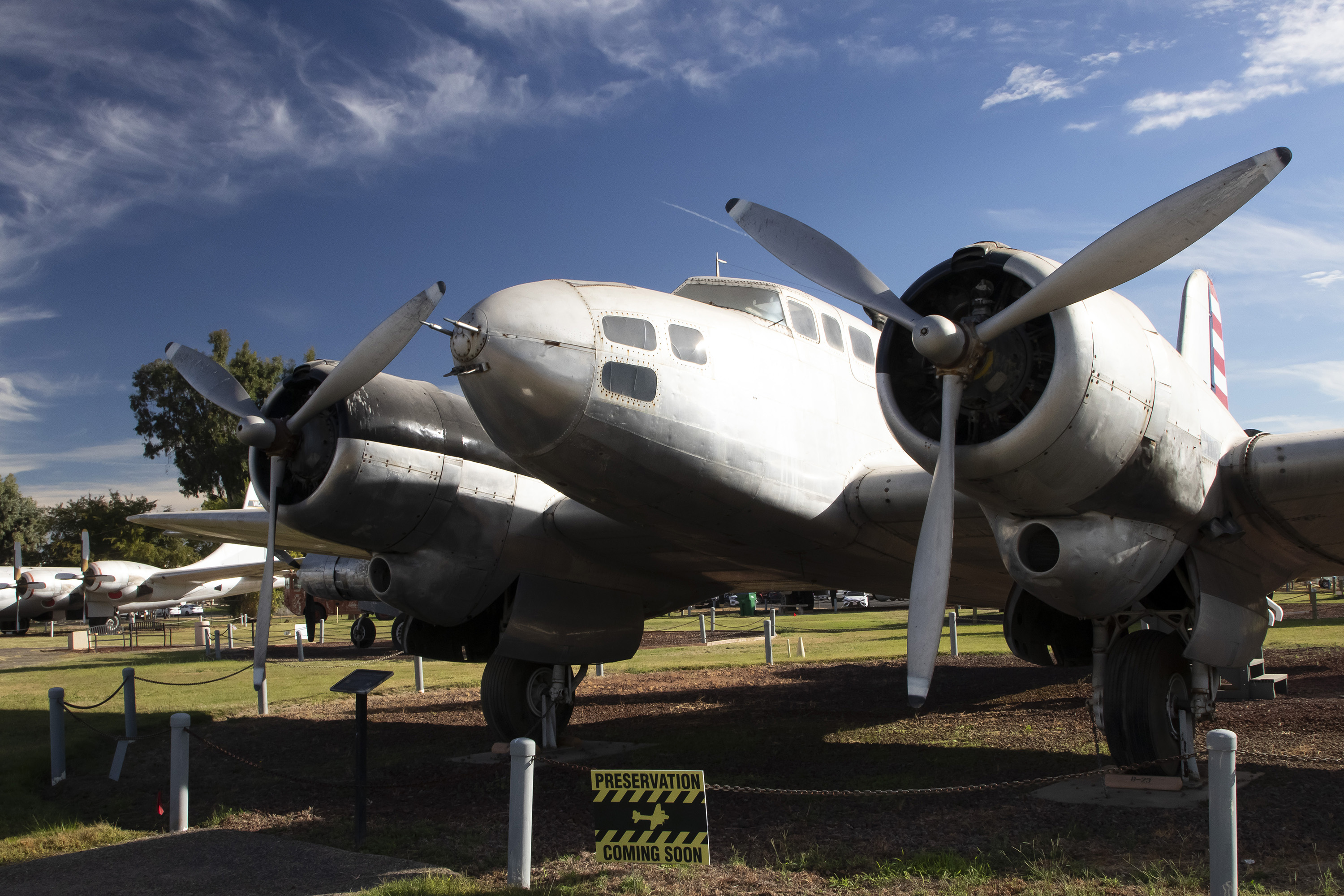
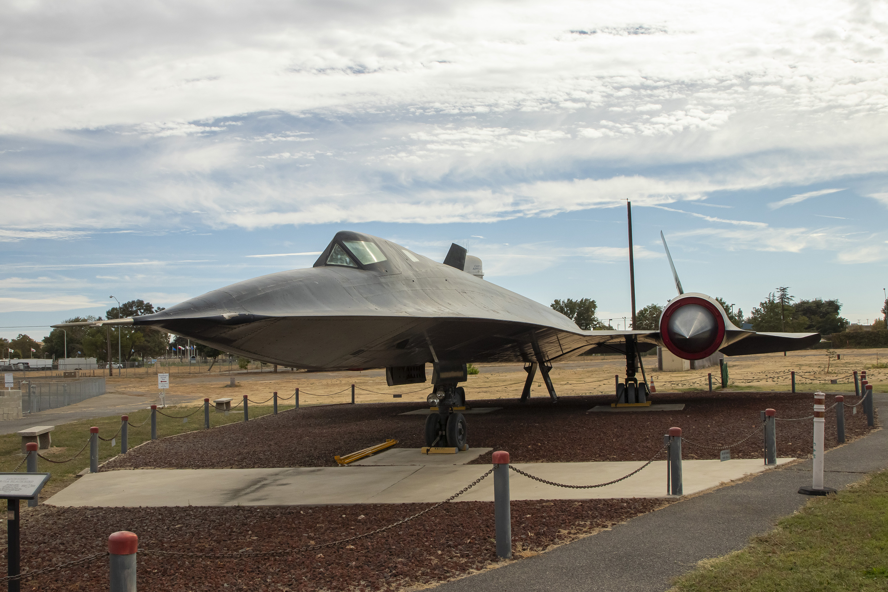
The Castle Air Museum is in Atwater. It’s a surprisingly large outdoor museum with over 80 planes, including our favorite, the SR-71 Blackbird.
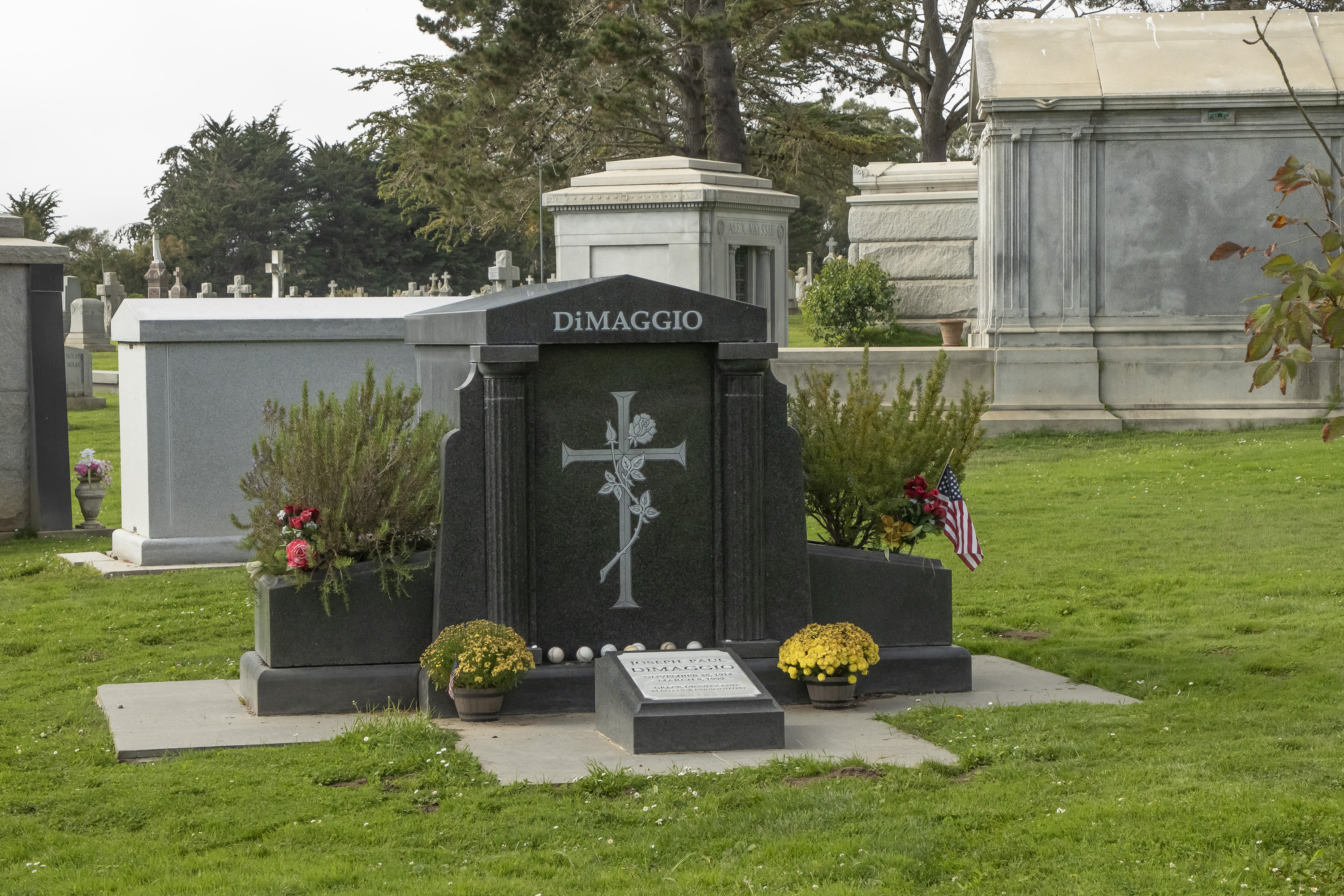
We got to Daly City in the early afternoon and spent a few hours before dinner touring the area. Colma, just south of Daly City, is a necropolis. The town has a (living) population of around 1,600. It’s also “home” to around 1.5 million dead people, including Joe DiMaggio. There is also a large pet cemetery.
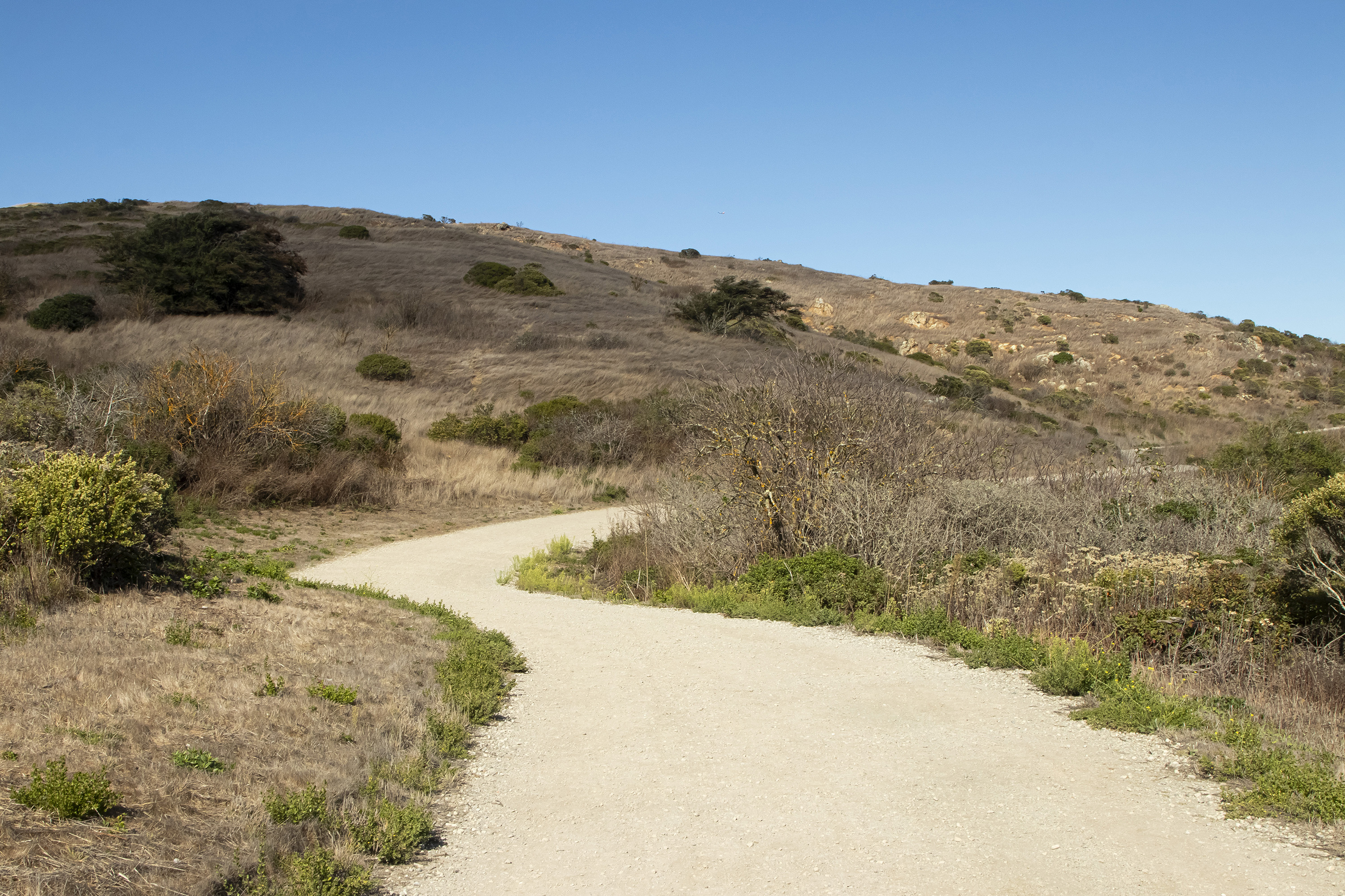
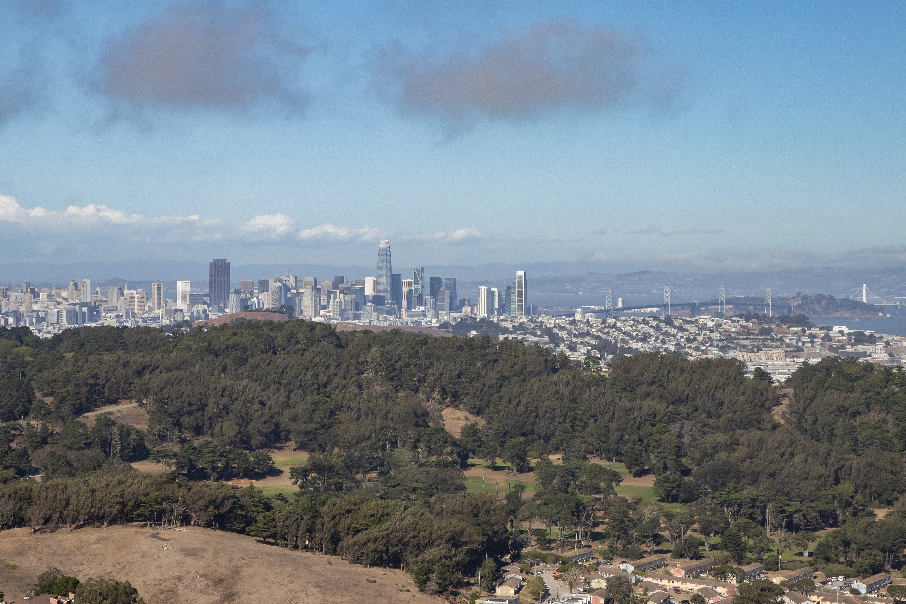
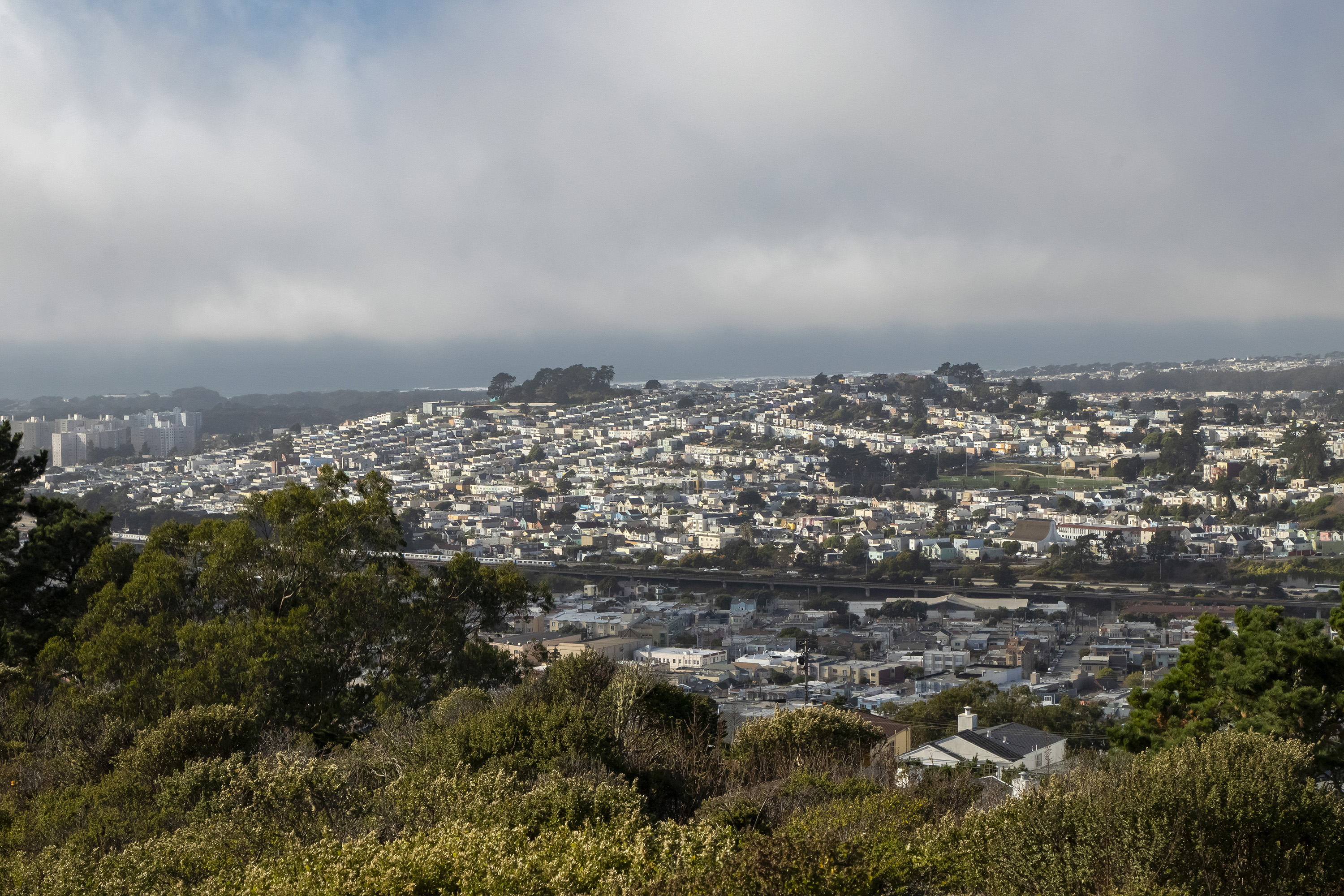
Our final vacation activity was another hike around San Bruno Mountain park. The peak was once again shrouded in fog, so we walked the other way to a lower-altitude view of the city.
It was a short trip, and we returned home the next afternoon to recover from jet lag and rest up to get back to work.
(c) 2024 J. Atwater. All rights reserved.